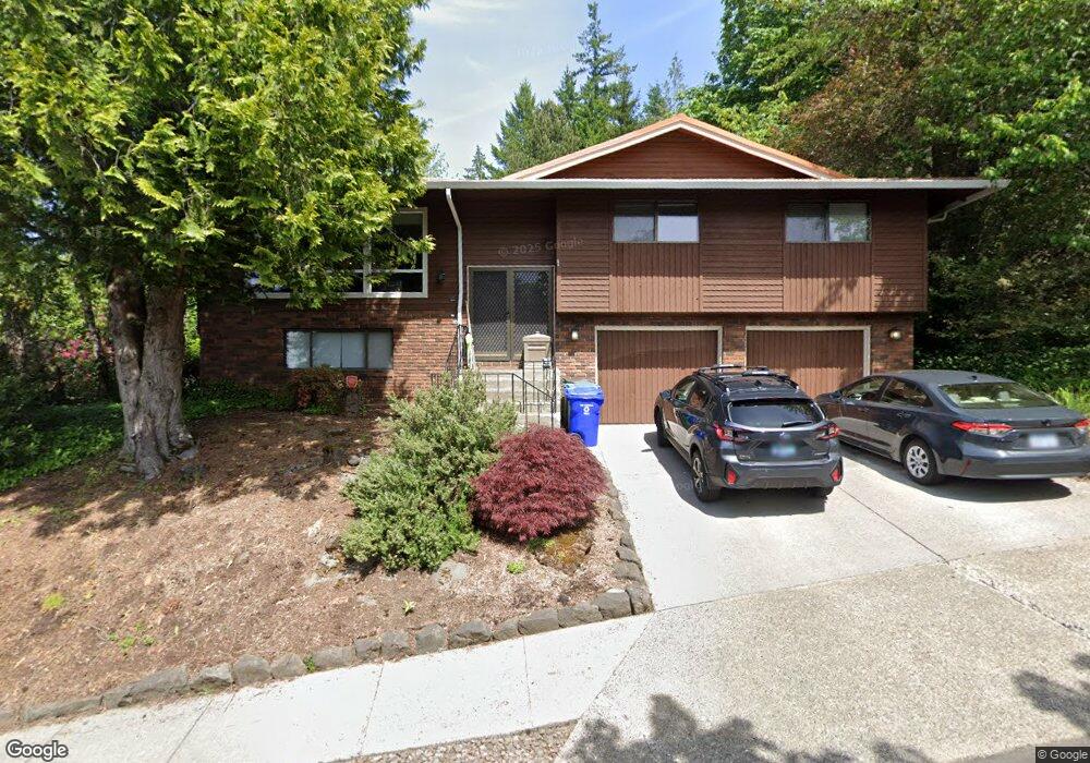
1060 SW 10th Dr Gresham, OR 97080
Gresham Butte NeighborhoodEstimated Value: $542,000 - $567,000
4
Beds
3
Baths
2,746
Sq Ft
$203/Sq Ft
Est. Value
About This Home
This home is located at 1060 SW 10th Dr, Gresham, OR 97080 and is currently estimated at $556,334, approximately $202 per square foot. 1060 SW 10th Dr is a home located in Multnomah County with nearby schools including Dexter McCarty Middle School, Gresham High School, and Gresham Arthur Academy.
Ownership History
Date
Name
Owned For
Owner Type
Purchase Details
Closed on
Jun 18, 2008
Sold by
Dixon Caleb
Bought by
Dixon Robert and Dixon Deborah
Current Estimated Value
Purchase Details
Closed on
Sep 16, 2004
Sold by
Massad George G
Bought by
Dixon Robert K and Dixon Deborah L R
Purchase Details
Closed on
Nov 5, 2001
Sold by
Massad George G
Bought by
Massad George G and Massad Barbara A
Purchase Details
Closed on
Feb 26, 2001
Sold by
Letvin Marlene J
Bought by
Massad George G
Home Financials for this Owner
Home Financials are based on the most recent Mortgage that was taken out on this home.
Original Mortgage
$163,000
Interest Rate
6.98%
Mortgage Type
Purchase Money Mortgage
Create a Home Valuation Report for This Property
The Home Valuation Report is an in-depth analysis detailing your home's value as well as a comparison with similar homes in the area
Home Values in the Area
Average Home Value in this Area
Purchase History
| Date | Buyer | Sale Price | Title Company |
|---|---|---|---|
| Dixon Robert | -- | None Available | |
| Dixon Robert K | $229,900 | First American | |
| Massad George G | -- | -- | |
| Massad George G | $42,000 | -- |
Source: Public Records
Mortgage History
| Date | Status | Borrower | Loan Amount |
|---|---|---|---|
| Previous Owner | Massad George G | $163,000 |
Source: Public Records
Tax History
| Year | Tax Paid | Tax Assessment Tax Assessment Total Assessment is a certain percentage of the fair market value that is determined by local assessors to be the total taxable value of land and additions on the property. | Land | Improvement |
|---|---|---|---|---|
| 2025 | $7,147 | $351,200 | -- | -- |
| 2024 | $6,841 | $340,980 | -- | -- |
| 2023 | $6,233 | $331,050 | $0 | $0 |
| 2022 | $6,059 | $321,410 | $0 | $0 |
| 2021 | $5,906 | $312,050 | $0 | $0 |
| 2020 | $5,557 | $302,970 | $0 | $0 |
| 2019 | $5,412 | $294,150 | $0 | $0 |
| 2018 | $5,160 | $285,590 | $0 | $0 |
| 2017 | $4,951 | $277,280 | $0 | $0 |
| 2016 | $4,365 | $269,210 | $0 | $0 |
Source: Public Records
Map
Nearby Homes
- 1175 SW Chastain Dr
- 1472 SW 14th St
- 828 SW Wilson Ct
- 1488 SW 17th Ct Unit N
- 1407 SW Walters Dr
- 1960 SW 13th Ct
- 1333 SW 19th Dr
- 657 SW 7th St
- 1859 SW Angeline Ave
- 159 SW Florence Ave Unit 64
- 2156 SW 14th Dr
- 1880 SW Heiney Rd
- 1441 SW 23rd Ct
- 0 SW Miller Ct Unit 470855683
- 1261 SW Binford Lake Pkwy
- 2520 SW Towle Ave
- 1414 SE Beech Place
- 2167 SE Meadow Ct
- 1278 SW 27th Ct
- 345 NW Norman Ave
- 1032 SW 10th Dr Unit I45
- 1078 SW 10th Dr
- 958 SW Florence Ct
- 946 SW Florence Ct
- 970 SW Florence Ct
- 1102 SW 10th Dr
- 1083 SW 10th Dr
- 1041 SW 10th Dr
- 1012 SW 10th Dr
- 972 SW Florence Ct
- 938 SW Florence Ct
- 1105 SW 10th Dr
- 1222 SW 10th Dr
- 922 SW Florence Ct
- 982 SW Florence Ct
- 1121 SW 10th Dr
- 1128 SW 10th Dr
- 1052 SW Wallula Dr
- 942 SW Florence Ct
- 911 SW Florence Ct
Your Personal Tour Guide
Ask me questions while you tour the home.