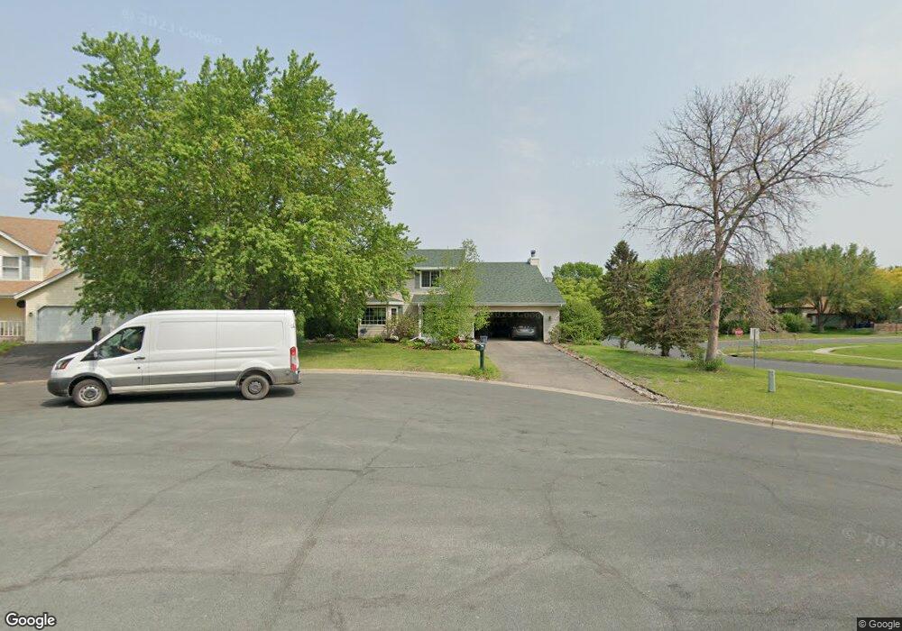
10600 Louisiana Cir Bloomington, MN 55438
West Bloomington NeighborhoodEstimated Value: $507,000 - $569,000
4
Beds
4
Baths
1,012
Sq Ft
$528/Sq Ft
Est. Value
About This Home
This home is located at 10600 Louisiana Cir, Bloomington, MN 55438 and is currently estimated at $534,299, approximately $527 per square foot. 10600 Louisiana Cir is a home located in Hennepin County with nearby schools including Olson Elementary School, Olson Middle School, and Jefferson Senior High School.
Ownership History
Date
Name
Owned For
Owner Type
Purchase Details
Closed on
Aug 31, 2018
Sold by
Defauw Russell and Defauw Jane
Bought by
Traylor Pamela J
Current Estimated Value
Purchase Details
Closed on
Aug 15, 2016
Sold by
Bergstrom Monica A and Bergstrom Robert D
Bought by
Defauw Russell and Defauw Jane
Create a Home Valuation Report for This Property
The Home Valuation Report is an in-depth analysis detailing your home's value as well as a comparison with similar homes in the area
Home Values in the Area
Average Home Value in this Area
Purchase History
| Date | Buyer | Sale Price | Title Company |
|---|---|---|---|
| Traylor Pamela J | $375,000 | None Available | |
| Defauw Russell | $375,000 | Trademark Title Services Inc |
Source: Public Records
Tax History Compared to Growth
Tax History
| Year | Tax Paid | Tax Assessment Tax Assessment Total Assessment is a certain percentage of the fair market value that is determined by local assessors to be the total taxable value of land and additions on the property. | Land | Improvement |
|---|---|---|---|---|
| 2024 | $6,153 | $474,800 | $158,100 | $316,700 |
| 2023 | $5,745 | $477,600 | $168,100 | $309,500 |
| 2022 | $5,005 | $446,800 | $148,100 | $298,700 |
| 2021 | $4,670 | $390,800 | $130,400 | $260,400 |
| 2020 | $4,697 | $368,300 | $126,700 | $241,600 |
| 2019 | $4,569 | $360,100 | $126,700 | $233,400 |
| 2018 | $4,273 | $348,700 | $126,200 | $222,500 |
| 2017 | $4,361 | $327,700 | $113,300 | $214,400 |
| 2016 | $4,539 | $323,500 | $105,500 | $218,000 |
| 2015 | $4,300 | $297,100 | $102,400 | $194,700 |
| 2014 | -- | $274,400 | $99,300 | $175,100 |
Source: Public Records
Map
Nearby Homes
- 7256 Woodstock Dr
- 7401 Landau Dr Unit 12
- 7321 Woodstock Curve
- 7534 Landau Dr
- 10926 Bush Lake Rd
- 10911 Rhode Island Ave S
- 10907 Rhode Island Ave S
- 10433 Utah Rd
- 11058 Oregon Curve
- 11015 Oregon Curve
- 7471 W 110th St
- 7019 W 110th Street Cir Unit 15
- 7525 W 110th St Unit 7
- 11073 Oregon Cir Unit 69
- 11036 Quebec Cir
- 10170 Utah Ave S
- 7501 W 101st St Unit 107
- 7501 W 101st St Unit 310
- 11275 Oregon Cir
- 6000 W 105th St
- 10602 Louisiana Cir
- 10604 Louisiana Cir
- 10556 Louisiana Ave S
- 10608 Louisiana Cir
- 10606 Louisiana Cir
- 10601 Maryland Ave S
- 10557 Louisiana Ave S
- 10609 Maryland Ave S
- 7006 W 106th St
- 10617 Maryland Ave S
- 10548 Louisiana Ave S
- 10620 Daisy Cir
- 10622 Daisy Cir
- 10556 Kentucky Ave S
- 10549 Louisiana Ave S
- 10624 Daisy Cir
- 10625 Maryland Ave S
- 7010 W 106th St
- 10561 Maryland Rd
- 10540 Louisiana Ave S