10600 Maplehurst Ln Rough and Ready, CA 95975
Estimated Value: $506,000 - $597,000
2
Beds
2
Baths
2,189
Sq Ft
$249/Sq Ft
Est. Value
About This Home
This home is located at 10600 Maplehurst Ln, Rough and Ready, CA 95975 and is currently estimated at $545,710, approximately $249 per square foot. 10600 Maplehurst Ln is a home located in Nevada County with nearby schools including Ready Springs Elementary School, Williams Ranch Elementary School, and Vantage Point Charter School.
Ownership History
Date
Name
Owned For
Owner Type
Purchase Details
Closed on
Apr 28, 2017
Sold by
Mowry Carol
Bought by
The Mowry Family Trust
Current Estimated Value
Purchase Details
Closed on
Nov 27, 2007
Sold by
Mowry Carol M
Bought by
Mowry Carol M
Purchase Details
Closed on
Apr 20, 2006
Sold by
Mowry Carol M
Bought by
Mowry Carol M
Create a Home Valuation Report for This Property
The Home Valuation Report is an in-depth analysis detailing your home's value as well as a comparison with similar homes in the area
Home Values in the Area
Average Home Value in this Area
Purchase History
| Date | Buyer | Sale Price | Title Company |
|---|---|---|---|
| The Mowry Family Trust | -- | None Available | |
| Mowry Carol M | -- | None Available | |
| Mowry Carol M | -- | None Available | |
| Mowry Carol M | -- | None Available |
Source: Public Records
Tax History Compared to Growth
Tax History
| Year | Tax Paid | Tax Assessment Tax Assessment Total Assessment is a certain percentage of the fair market value that is determined by local assessors to be the total taxable value of land and additions on the property. | Land | Improvement |
|---|---|---|---|---|
| 2025 | $3,743 | $338,161 | $90,166 | $247,995 |
| 2024 | $1,148 | $331,532 | $88,399 | $243,133 |
| 2023 | $1,148 | $325,032 | $86,666 | $238,366 |
| 2022 | $2,031 | $318,660 | $84,967 | $233,693 |
| 2021 | $1,198 | $312,412 | $83,301 | $229,111 |
| 2020 | $1,235 | $309,209 | $82,447 | $226,762 |
| 2019 | $1,226 | $303,147 | $80,831 | $222,316 |
| 2018 | $1,234 | $297,204 | $79,247 | $217,957 |
| 2017 | $1,230 | $291,378 | $77,694 | $213,684 |
| 2016 | $1,200 | $285,666 | $76,171 | $209,495 |
| 2015 | $1,171 | $281,376 | $75,027 | $206,349 |
| 2014 | $1,171 | $275,865 | $73,558 | $202,307 |
Source: Public Records
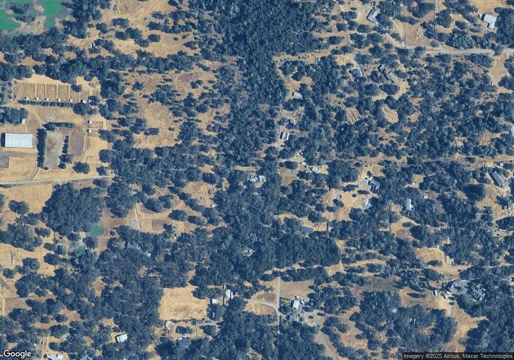
Map
Nearby Homes
- 18098 Lake Forest Dr
- 18263 Lake Forest Dr
- 10757 Oak Hill Dr
- 10966 Badger Ct
- 17238 Carrie Ann Ln
- 18031 Penn Valley Dr
- 18001 Penn Valley Dr
- 146 Lark St
- 10123 Valley Oak Ct
- 18367 Jayhawk Dr
- 18093 Lasso Loop Unit B
- 318 Quail Ln
- 10185 Valley Dr
- 12510 Jayhawk Ct
- 17809 Lasso Loop
- 10988 Pleasant Valley Rd
- 11585 Linnet Ct
- 18022 Brandy Ln
- 18610 Jayhawk Dr
- 18850 Jayhawk Dr