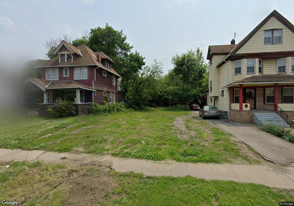
10600 Massie Ave Cleveland, OH 44108
Glenville NeighborhoodEstimated Value: $162,379
4
Beds
2
Baths
2,108
Sq Ft
$77/Sq Ft
Est. Value
About This Home
This home is located at 10600 Massie Ave, Cleveland, OH 44108 and is currently estimated at $162,379, approximately $77 per square foot. 10600 Massie Ave is a home located in Cuyahoga County with nearby schools including Bolton, Anton Grdina School, and Andrew J. Rickoff School.
Ownership History
Date
Name
Owned For
Owner Type
Purchase Details
Closed on
Aug 6, 2021
Sold by
Sheriff Of Cuyahoga County
Bought by
City Of Cleveland Land Reutilization Pro
Current Estimated Value
Purchase Details
Closed on
Feb 28, 2006
Sold by
Smith Derrick
Bought by
Mih Properties & Investments Ltd
Purchase Details
Closed on
Aug 24, 2005
Sold by
Lewis Ronald A and Lewis Isabel C
Bought by
Smith Derrick
Home Financials for this Owner
Home Financials are based on the most recent Mortgage that was taken out on this home.
Original Mortgage
$85,500
Interest Rate
7.8%
Mortgage Type
Fannie Mae Freddie Mac
Purchase Details
Closed on
Sep 6, 1984
Bought by
Lewis W Rankin
Purchase Details
Closed on
Mar 13, 1984
Sold by
Barber Geo T and Barber Eleanor
Bought by
L & L Properties
Purchase Details
Closed on
Jan 1, 1975
Bought by
Barber Geo T and Barber Eleanor
Create a Home Valuation Report for This Property
The Home Valuation Report is an in-depth analysis detailing your home's value as well as a comparison with similar homes in the area
Home Values in the Area
Average Home Value in this Area
Purchase History
| Date | Buyer | Sale Price | Title Company |
|---|---|---|---|
| City Of Cleveland Land Reutilization Pro | $2,272 | None Listed On Document | |
| Mih Properties & Investments Ltd | -- | None Available | |
| Smith Derrick | $95,000 | T Title | |
| Smith Derrick | -- | T Title | |
| Lewis W Rankin | -- | -- | |
| L & L Properties | $7,900 | -- | |
| Barber Geo T | -- | -- |
Source: Public Records
Mortgage History
| Date | Status | Borrower | Loan Amount |
|---|---|---|---|
| Previous Owner | Smith Derrick | $85,500 |
Source: Public Records
Tax History Compared to Growth
Tax History
| Year | Tax Paid | Tax Assessment Tax Assessment Total Assessment is a certain percentage of the fair market value that is determined by local assessors to be the total taxable value of land and additions on the property. | Land | Improvement |
|---|---|---|---|---|
| 2024 | -- | $700 | $700 | -- |
| 2022 | $0 | $980 | $980 | $0 |
| 2021 | $0 | $980 | $980 | $0 |
| 2020 | $380 | $810 | $810 | $0 |
| 2019 | $728 | $2,300 | $2,300 | $0 |
| 2018 | $1,305 | $810 | $810 | $0 |
| 2017 | $1,265 | $1,510 | $810 | $700 |
| 2016 | $631 | $5,190 | $810 | $4,380 |
| 2015 | $25,889 | $5,190 | $810 | $4,380 |
| 2014 | $25,889 | $5,750 | $880 | $4,870 |
Source: Public Records
Map
Nearby Homes
- 10313 Pierpont Ave
- 10718 Drexel Ave
- 10515 Greenlawn Ave
- 10209 Ostend Ave
- 10121 Somerset Ave
- 10114 Parkgate Ave
- 10321 Kempton Ave
- 10202 North Blvd
- 10404 South Blvd
- 10630 Tacoma Ave
- 10014 Somerset Ave
- 10842 Grantwood Ave
- 994 Parkwood Dr
- 10525 Gooding Ave
- 10328 Empire Ave
- 10927 Grantwood Ave
- 10713 Gooding Ave
- 9922 Adams Ave
- 9909 Parkgate Ave
- 9904 Parkgate Ave
- 10522 Massie Ave
- 10604 Massie Ave
- 10516 Massie Ave
- 10608 Massie Ave
- 10605 Massie Ave
- 10612 Massie Ave
- 10603 Pasadena Ave
- 10519 Pasadena Ave
- 10607 Pasadena Ave
- 10523 Massie Ave
- 10515 Pasadena Ave
- 10603 Massie Ave
- 10616 Massie Ave
- 10611 Pasadena Ave
- 10618 Massie Ave
- 10615 Massie Ave
- 10617 Pasadena Ave
- 10622 Massie Ave
- 10617 Massie Ave
- 10700 Massie Ave