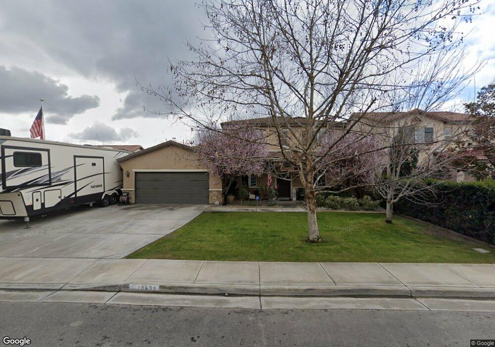
10605 Coronado Pointe Dr Unit 1 Bakersfield, CA 93311
Old River NeighborhoodEstimated Value: $507,000 - $544,000
5
Beds
4
Baths
1,649
Sq Ft
$315/Sq Ft
Est. Value
About This Home
This home is located at 10605 Coronado Pointe Dr Unit 1, Bakersfield, CA 93311 and is currently estimated at $518,636, approximately $314 per square foot. 10605 Coronado Pointe Dr Unit 1 is a home located in Kern County with nearby schools including Buena Vista Elementary School, Earl Warren Junior High School, and Independence High School.
Ownership History
Date
Name
Owned For
Owner Type
Purchase Details
Closed on
Mar 21, 2008
Sold by
Lennar Homes Of California Inc
Bought by
Amick William W and Amick Charity Shea
Current Estimated Value
Home Financials for this Owner
Home Financials are based on the most recent Mortgage that was taken out on this home.
Original Mortgage
$334,696
Outstanding Balance
$209,292
Interest Rate
5.81%
Mortgage Type
FHA
Estimated Equity
$309,344
Create a Home Valuation Report for This Property
The Home Valuation Report is an in-depth analysis detailing your home's value as well as a comparison with similar homes in the area
Home Values in the Area
Average Home Value in this Area
Purchase History
| Date | Buyer | Sale Price | Title Company |
|---|---|---|---|
| Amick William W | $342,000 | North American Title |
Source: Public Records
Mortgage History
| Date | Status | Borrower | Loan Amount |
|---|---|---|---|
| Open | Amick William W | $334,696 |
Source: Public Records
Tax History Compared to Growth
Tax History
| Year | Tax Paid | Tax Assessment Tax Assessment Total Assessment is a certain percentage of the fair market value that is determined by local assessors to be the total taxable value of land and additions on the property. | Land | Improvement |
|---|---|---|---|---|
| 2025 | $6,048 | $457,412 | $105,072 | $352,340 |
| 2024 | $5,949 | $448,445 | $103,012 | $345,433 |
| 2023 | $5,949 | $439,654 | $100,993 | $338,661 |
| 2022 | $4,984 | $368,000 | $92,000 | $276,000 |
| 2021 | $4,616 | $341,000 | $85,000 | $256,000 |
| 2020 | $4,032 | $293,000 | $73,000 | $220,000 |
| 2019 | $3,940 | $284,000 | $71,000 | $213,000 |
| 2018 | $3,892 | $289,000 | $72,000 | $217,000 |
| 2017 | $3,875 | $288,000 | $72,000 | $216,000 |
| 2016 | $3,698 | $287,000 | $72,000 | $215,000 |
| 2015 | $3,524 | $269,000 | $45,000 | $224,000 |
| 2014 | $3,688 | $294,000 | $74,000 | $220,000 |
Source: Public Records
Map
Nearby Homes
- 10710 Coronado Pointe Dr
- 10601 Pleasant Valley Dr
- 10806 Valverde Dr
- 6501 Balmorhea St
- 10814 Valverde Dr
- 10711 Pleasant Valley Dr
- 10702 Montemar Dr
- 10214 Cooper Lake Ave
- 10303 Fort Sanders Ave
- 10609 Montemar Dr
- 10508 Alondra Dr
- 10026 Murfreesboro Dr
- 10811 Alondra Dr
- 10012 Fort Sanders Ave
- 10317 Sharktooth Peak Dr
- 10316 Sharktooth Peak Dr
- 3815 Ames Ln
- 3701 Parterre Ct
- 12519 Cornelia Way
- 9827 Fort Sanders Ave
- 10601 Coronado Pointe Dr
- 10609 Coronado Pointe Dr Unit 1
- 10613 Coronado Pointe Dr
- 10515 Coronado Pointe Dr
- 10606 Valverde Dr
- 10610 Valverde Dr Unit 1
- 10602 Valverde Dr
- 10614 Valverde Dr Unit 1
- 10512 Valverde Dr Unit 1
- 10511 Coronado Pointe Dr
- 10604 Coronado Pointe Dr
- 10600 Coronado Pointe Dr Unit 1
- 10608 Coronado Pointe Dr
- 10514 Coronado Pointe Dr
- 10508 Valverde Dr Unit 1
- 10612 Coronado Pointe Dr
- 10507 Coronado Pointe Dr
- 10703 Coronado Pointe Dr
- 10510 Coronado Pointe Dr
- 10702 Coronado Pointe Dr