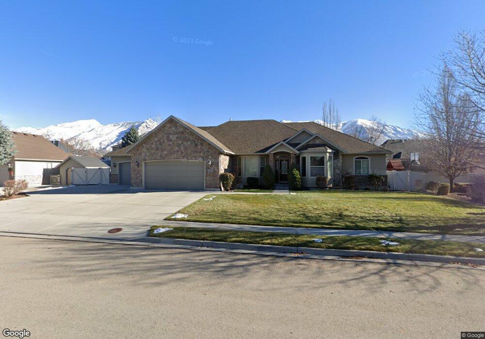
10606 N 5470 W Highland, UT 84003
Estimated Value: $1,026,000 - $1,394,316
5
Beds
5
Baths
2,460
Sq Ft
$491/Sq Ft
Est. Value
About This Home
This home is located at 10606 N 5470 W, Highland, UT 84003 and is currently estimated at $1,207,829, approximately $490 per square foot. 10606 N 5470 W is a home located in Utah County with nearby schools including Highland Elementary School, Mountain Ridge Junior High School, and Lone Peak High School.
Ownership History
Date
Name
Owned For
Owner Type
Purchase Details
Closed on
Dec 29, 2009
Sold by
Robbins Edward V and Robbins Dena M
Bought by
Robbins Edward V and Robbins Dena M
Current Estimated Value
Purchase Details
Closed on
Mar 25, 2005
Sold by
Mountain West Development Llc
Bought by
Robbins Edward V and Robbins Dena M
Purchase Details
Closed on
Sep 25, 2004
Sold by
Robbins Edward V and Robbins Dena M
Bought by
Robbins Edward V and Robbins Dena M
Home Financials for this Owner
Home Financials are based on the most recent Mortgage that was taken out on this home.
Original Mortgage
$314,000
Interest Rate
5.76%
Mortgage Type
Construction
Purchase Details
Closed on
May 25, 2001
Sold by
Holland Steve
Bought by
Robbins Edward V and Robbins Dena M
Create a Home Valuation Report for This Property
The Home Valuation Report is an in-depth analysis detailing your home's value as well as a comparison with similar homes in the area
Home Values in the Area
Average Home Value in this Area
Purchase History
| Date | Buyer | Sale Price | Title Company |
|---|---|---|---|
| Robbins Edward V | -- | None Available | |
| Robbins Edward V | -- | Timp Title Insurance Agency | |
| Robbins Edward V | -- | Timp Title Insurance Agency | |
| Robbins Edward V | -- | Timp Title Insurance Agency |
Source: Public Records
Mortgage History
| Date | Status | Borrower | Loan Amount |
|---|---|---|---|
| Previous Owner | Robbins Edward V | $314,000 |
Source: Public Records
Tax History Compared to Growth
Tax History
| Year | Tax Paid | Tax Assessment Tax Assessment Total Assessment is a certain percentage of the fair market value that is determined by local assessors to be the total taxable value of land and additions on the property. | Land | Improvement |
|---|---|---|---|---|
| 2025 | $4,633 | $669,295 | $340,900 | $876,000 |
| 2024 | $4,633 | $572,275 | $0 | $0 |
| 2023 | $4,227 | $563,200 | $0 | $0 |
| 2022 | $4,152 | $536,415 | $0 | $0 |
| 2021 | $4,008 | $771,300 | $221,000 | $550,300 |
| 2020 | $3,850 | $726,500 | $192,200 | $534,300 |
| 2019 | $3,680 | $726,500 | $192,200 | $534,300 |
| 2018 | $3,872 | $726,500 | $192,200 | $534,300 |
| 2017 | $3,450 | $345,565 | $0 | $0 |
| 2016 | $3,168 | $296,560 | $0 | $0 |
| 2015 | $3,115 | $276,375 | $0 | $0 |
| 2014 | $3,093 | $271,975 | $0 | $0 |
Source: Public Records
Map
Nearby Homes
- 10507 N 5470 W
- Villa A Plan at TEN700
- Villa D Plan at TEN700
- Cottonwood Villa Plan at TEN700
- Villa C Plan at TEN700
- Douglas Villa Plan at TEN700
- Villa B Plan at TEN700
- 10763 N Dosh Ln
- 10531 N Alpine Hwy
- 5509 W Sicily Ln
- 10905 N Vercelli Dr
- 5538 W Naples Dr Unit 125
- 10925 N Marsala Dr
- 5538 W Turin Ln
- 10685 N Jerling Dr
- 10261 N 5230 W
- 5159 W 11000 N
- 5813 W 10900 N
- 5378 W 10130 N
- 5077 W 11000 N
- 10607 N 5400 W
- 10607 N 5400 W Unit 29
- 10607 N 5400 W Unit 23
- 10608 N 5470 W
- 10608 N 5470 W Unit 27
- 10602 N 5470 W
- 10609 N 5400 W
- 10609 N 5400 W Unit 22
- 10603 N 5400 W
- 10603 N 5400 W Unit 24
- 5480 W 10600 N
- 10609 N 5470 W
- 10609 N 5470 W Unit 31
- 10607 N 5470 W
- 10607 N 5470 W Unit 32
- 10621 N 5400 W
- 10621 N 5400 W Unit 21
- 10603 N 5470 St W Unit 33
- 10618 N 5470 W
- 10618 N 5470 W Unit 28