10609 Carson Range Rd Unit Homesite 3 Truckee, CA 96161
South Truckee NeighborhoodEstimated Value: $2,097,000 - $2,496,981
4
Beds
3
Baths
2,465
Sq Ft
$940/Sq Ft
Est. Value
About This Home
This home is located at 10609 Carson Range Rd Unit Homesite 3, Truckee, CA 96161 and is currently estimated at $2,316,245, approximately $939 per square foot. 10609 Carson Range Rd Unit Homesite 3 is a home located in Placer County with nearby schools including Truckee Elementary School, Alder Creek Middle School, and Tahoe Truckee High School.
Ownership History
Date
Name
Owned For
Owner Type
Purchase Details
Closed on
Mar 28, 2016
Sold by
Hrynkiewicz John and Stelmasek Gerard
Bought by
Gould Jeffrey and Gould Jean
Current Estimated Value
Home Financials for this Owner
Home Financials are based on the most recent Mortgage that was taken out on this home.
Original Mortgage
$1,000,000
Outstanding Balance
$793,656
Interest Rate
3.65%
Mortgage Type
New Conventional
Estimated Equity
$1,522,589
Purchase Details
Closed on
Feb 17, 2015
Sold by
Nmp 12 Llc
Bought by
New Martis Partners Llc
Purchase Details
Closed on
Feb 13, 2015
Sold by
New Martis Partners Llc
Bought by
Hrynkiewicz John and Stelmasek Gerard
Purchase Details
Closed on
Jun 24, 2013
Sold by
New Martis Partners Llc
Bought by
Nmp 12 Llc
Create a Home Valuation Report for This Property
The Home Valuation Report is an in-depth analysis detailing your home's value as well as a comparison with similar homes in the area
Home Values in the Area
Average Home Value in this Area
Purchase History
| Date | Buyer | Sale Price | Title Company |
|---|---|---|---|
| Gould Jeffrey | $1,250,000 | First American Title Company | |
| New Martis Partners Llc | $303,000 | Old Republic Title Company | |
| Hrynkiewicz John | $310,000 | Old Republic Title Company | |
| Nmp 12 Llc | $2,588,000 | Placer Title Company |
Source: Public Records
Mortgage History
| Date | Status | Borrower | Loan Amount |
|---|---|---|---|
| Open | Gould Jeffrey | $1,000,000 |
Source: Public Records
Tax History
| Year | Tax Paid | Tax Assessment Tax Assessment Total Assessment is a certain percentage of the fair market value that is determined by local assessors to be the total taxable value of land and additions on the property. | Land | Improvement |
|---|---|---|---|---|
| 2025 | $16,829 | $1,479,739 | $414,325 | $1,065,414 |
| 2023 | $16,829 | $1,422,281 | $398,237 | $1,024,044 |
| 2022 | $16,414 | $1,394,394 | $390,429 | $1,003,965 |
| 2021 | $15,891 | $1,367,054 | $382,774 | $984,280 |
| 2020 | $16,054 | $1,353,038 | $378,850 | $974,188 |
| 2019 | $16,126 | $1,326,509 | $371,422 | $955,087 |
| 2018 | $15,250 | $1,300,500 | $364,140 | $936,360 |
| 2017 | $14,996 | $1,275,000 | $357,000 | $918,000 |
| 2016 | $14,499 | $1,214,727 | $314,727 | $900,000 |
| 2015 | $2,794 | $196,724 | $196,724 | $0 |
| 2014 | $2,691 | $192,871 | $192,871 | $0 |
Source: Public Records
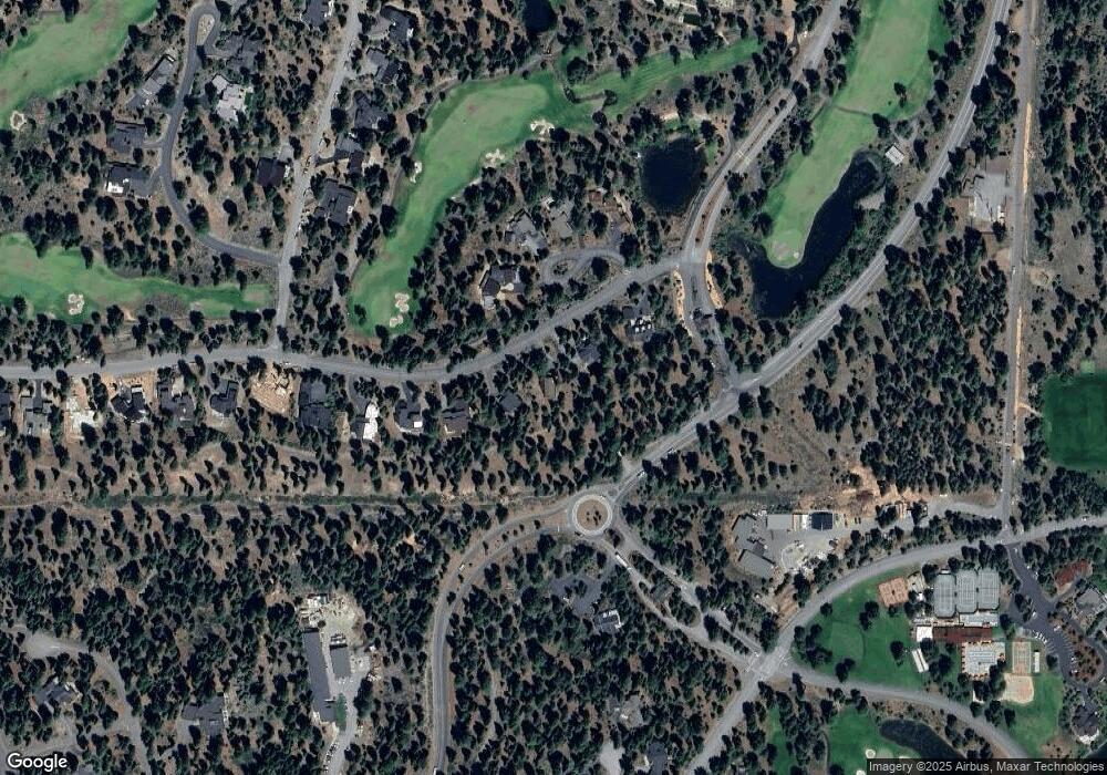
Map
Nearby Homes
- 10613 Carson Range Rd
- 10601 Carson Range Rd
- 10633 Carson Range Rd
- 10645 Carson Range Rd
- 10644 Talus Ct
- 9308 Nine Bark Rd
- 9400 Heartwood Dr
- 9313 Gaston Ct
- 8745 Lahontan Dr
- 10020 Chaparral Ct
- 8458 Valhalla Dr
- 213 John Keiser
- 9548 Parker Ln
- 9364 Heartwood Dr
- 10136 Sagebrush Ct
- 9188 Tarn Cir
- 10235 Valmont Trail
- 9337 Heartwood Dr
- 11317 Elle Ellen
- 9278 Brae Rd
- 10609 Carson Range Rd
- 10613 Carson Range Rd Unit 4
- 10605 Carson Range Rd
- 9312 Carson Range Rd Unit 9312 Gaston Ct.
- 10726 Carson Range Rd
- 9040 Versant Ct
- 9030 Versant Ct Unit Homesite 6
- 9030 Versant Ct
- 9010 Versant Ct
- 9020 Versant Ct Unit 7
- 10629 Carson Range Rd
- 9312 Nine Bark Rd
- 10637 Carson Range Rd
- 140 Dave Dysart
- 135 Dave Dysart
- 9316 Nine Bark Rd
- 120 Dave Dysart Unit 1
- 10652 Talus Ct
- 8940 Lahontan Dr
- 9324 Nine Bark Rd
Your Personal Tour Guide
Ask me questions while you tour the home.