10609 Schlapp Rd Minooka, IL 60447
North Minooka NeighborhoodEstimated Value: $366,000 - $536,000
3
Beds
2
Baths
2,100
Sq Ft
$228/Sq Ft
Est. Value
About This Home
This home is located at 10609 Schlapp Rd, Minooka, IL 60447 and is currently estimated at $478,136, approximately $227 per square foot. 10609 Schlapp Rd is a home located in Kendall County with nearby schools including Hunt Club Elementary School, Traughber Junior High School, and Oswego High School.
Ownership History
Date
Name
Owned For
Owner Type
Purchase Details
Closed on
Jun 29, 1999
Sold by
Cryder Vance O
Bought by
Gossman Larry M and Gossman Dawn G
Current Estimated Value
Home Financials for this Owner
Home Financials are based on the most recent Mortgage that was taken out on this home.
Original Mortgage
$105,000
Outstanding Balance
$28,761
Interest Rate
7.28%
Estimated Equity
$449,375
Purchase Details
Closed on
May 1, 1980
Create a Home Valuation Report for This Property
The Home Valuation Report is an in-depth analysis detailing your home's value as well as a comparison with similar homes in the area
Home Values in the Area
Average Home Value in this Area
Purchase History
| Date | Buyer | Sale Price | Title Company |
|---|---|---|---|
| Gossman Larry M | $162,000 | Law Title Insurance Co | |
| -- | -- | -- |
Source: Public Records
Mortgage History
| Date | Status | Borrower | Loan Amount |
|---|---|---|---|
| Open | Gossman Larry M | $105,000 |
Source: Public Records
Tax History
| Year | Tax Paid | Tax Assessment Tax Assessment Total Assessment is a certain percentage of the fair market value that is determined by local assessors to be the total taxable value of land and additions on the property. | Land | Improvement |
|---|---|---|---|---|
| 2024 | $7,304 | $115,119 | $34,093 | $81,026 |
| 2023 | $6,882 | $104,445 | $32,470 | $71,975 |
| 2022 | $6,882 | $96,295 | $29,244 | $67,051 |
| 2021 | $6,845 | $92,719 | $29,689 | $63,030 |
| 2020 | $6,551 | $87,216 | $27,927 | $59,289 |
| 2019 | $6,288 | $83,444 | $26,719 | $56,725 |
| 2018 | $6,255 | $80,553 | $26,719 | $53,834 |
| 2017 | $6,192 | $77,267 | $26,719 | $50,548 |
| 2016 | $5,888 | $72,675 | $26,389 | $46,286 |
| 2015 | $6,162 | $72,675 | $26,389 | $46,286 |
| 2014 | -- | $72,675 | $26,389 | $46,286 |
| 2013 | -- | $72,675 | $26,389 | $46,286 |
Source: Public Records
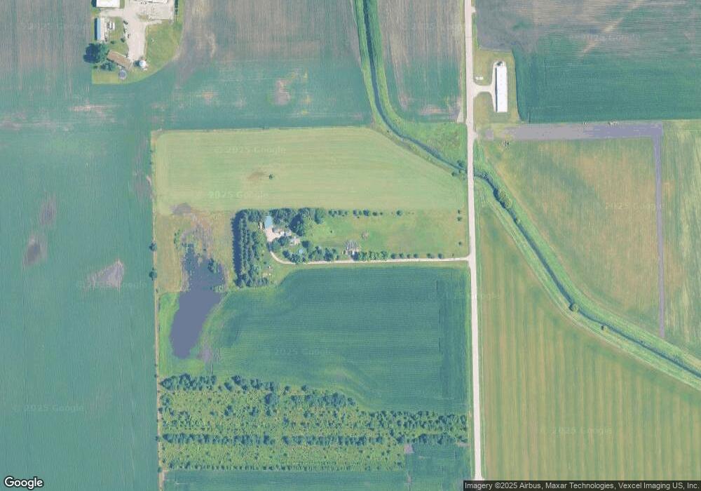
Map
Nearby Homes
- 8512 Foxborough Way Unit 1531
- 2205 Pembridge Ln
- 2410 Ridge View Ln
- 2417 Greywall Blvd
- 2108 Pembridge Ln
- 2113 Tremont Ln
- 2202 Tremont Ln
- Birch Plan at Vista Ridge
- Elder with Basement Plan at Vista Ridge
- Tupelo Plan at Vista Ridge
- Hazel Plan at Vista Ridge
- Cedar Plan at Vista Ridge
- 1802 Oxford Way
- 2413 Greywall Blvd
- 2415 Greywall Blvd
- 2409 Springview Ln
- 1808 Wild Rose Trail
- 1607 Seward Rd
- 1910 Crestview Dr Unit 2
- 2404 White Ash Ct
- 3445 Caton Farm Rd
- 3505 Caton Farm Rd
- 3260 Walker Rd
- 9310 Caton Farm Rd
- 4371 Caton Farm Rd
- 2575 Caton Farm Rd
- 10006 Caton Farm Rd
- 10006 Caton Farm Rd
- 3780 Walker Rd
- 0 Caton Farm Rd
- 3507 Walker Rd
- 9724 Schlapp Rd
- 9750 Schlapp Rd
- 9660 Schlapp Rd
- 4115 Walker Rd
- 2926 Walker Rd
- 3410 Chicago Rd
- 3380 Chicago Rd
- 2251 W Walker Rd
Your Personal Tour Guide
Ask me questions while you tour the home.