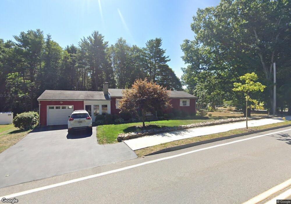
1061 Banfield Rd Portsmouth, NH 03801
Estimated Value: $555,000 - $640,000
3
Beds
2
Baths
1,112
Sq Ft
$531/Sq Ft
Est. Value
About This Home
This home is located at 1061 Banfield Rd, Portsmouth, NH 03801 and is currently estimated at $590,230, approximately $530 per square foot. 1061 Banfield Rd is a home located in Rockingham County with nearby schools including Mary C. Dondero Elementary School, Portsmouth Middle School, and Portsmouth High School.
Ownership History
Date
Name
Owned For
Owner Type
Purchase Details
Closed on
Dec 8, 2003
Sold by
Larson Herbert P and Larson Roberta G
Bought by
Oneill Scott M and Oneill Amy L
Current Estimated Value
Home Financials for this Owner
Home Financials are based on the most recent Mortgage that was taken out on this home.
Original Mortgage
$209,000
Interest Rate
6.03%
Mortgage Type
Purchase Money Mortgage
Create a Home Valuation Report for This Property
The Home Valuation Report is an in-depth analysis detailing your home's value as well as a comparison with similar homes in the area
Home Values in the Area
Average Home Value in this Area
Purchase History
| Date | Buyer | Sale Price | Title Company |
|---|---|---|---|
| Oneill Scott M | $224,000 | -- |
Source: Public Records
Mortgage History
| Date | Status | Borrower | Loan Amount |
|---|---|---|---|
| Open | Oneill Scott M | $188,000 | |
| Closed | Oneill Scott M | $209,000 |
Source: Public Records
Tax History Compared to Growth
Tax History
| Year | Tax Paid | Tax Assessment Tax Assessment Total Assessment is a certain percentage of the fair market value that is determined by local assessors to be the total taxable value of land and additions on the property. | Land | Improvement |
|---|---|---|---|---|
| 2024 | $5,512 | $493,000 | $224,800 | $268,200 |
| 2023 | $5,305 | $328,900 | $158,200 | $170,700 |
| 2022 | $4,999 | $328,900 | $158,200 | $170,700 |
| 2021 | $4,943 | $328,900 | $158,200 | $170,700 |
| 2020 | $4,835 | $328,900 | $158,200 | $170,700 |
| 2019 | $4,887 | $328,900 | $158,200 | $170,700 |
| 2018 | $4,578 | $289,000 | $136,300 | $152,700 |
| 2017 | $4,211 | $273,800 | $121,100 | $152,700 |
| 2016 | $4,003 | $234,900 | $106,200 | $128,700 |
| 2015 | $3,944 | $234,900 | $106,200 | $128,700 |
| 2014 | $3,933 | $217,300 | $103,800 | $113,500 |
| 2013 | $3,892 | $217,300 | $103,800 | $113,500 |
| 2012 | $3,814 | $217,300 | $103,800 | $113,500 |
Source: Public Records
Map
Nearby Homes
- 540 Ocean Rd
- 445 Ocean Rd Unit 4
- 380 Ocean Rd Unit 9
- 26 Mariette Dr
- 163 Ocean Rd
- 60 Ocean Rd
- Unit 31 Summerwind Place Unit 31
- Unit 13 Summerwind Place Unit 13
- Unit 15 Summerwind Place Unit 15
- 16 Summerwind Place Unit 16
- Unit 3 Summerwind Place Unit 3
- Unit 1 Summerwind Place Unit 1
- Unit 25 Summerwind Place Unit 25
- 115 Bluefish Blvd
- 103 Bluefish Blvd
- 315 Salmon Ave
- 204 Mackerel Ave
- 80 Constitution Ave Unit 225
- 80 Constitution Ave Unit 231
- 80 Constitution Ave Unit 321
- 1059 Banfield Rd
- 480 Ocean Rd
- 1057 Banfield Rd
- 1062 Banfield Rd
- 487 Ocean Rd
- 485 Ocean Rd
- 1055 Banfield Rd
- 489 Ocean Rd
- 475 Ocean Rd
- 500 Ocean Rd
- 495 Ocean Rd
- 1060 Banfield Rd
- 186 Martha Terrace
- 166 Martha Terrace
- 206 Martha Terrace
- 146 Martha Terrace
- 520 Ocean Rd
- 226 Martha Terrace
- 525 Ocean Rd
- 469 Ocean Rd