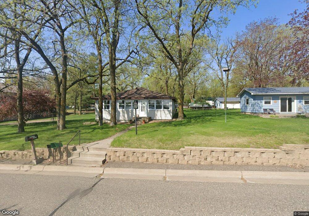
1061 Lakeshore Dr Big Lake, MN 55309
Estimated Value: $326,972 - $396,000
2
Beds
1
Bath
1,320
Sq Ft
$272/Sq Ft
Est. Value
About This Home
This home is located at 1061 Lakeshore Dr, Big Lake, MN 55309 and is currently estimated at $358,493, approximately $271 per square foot. 1061 Lakeshore Dr is a home located in Sherburne County with nearby schools including Liberty Elementary School, Independence Elementary School, and Big Lake Middle School.
Ownership History
Date
Name
Owned For
Owner Type
Purchase Details
Closed on
Aug 16, 2018
Sold by
Norton Annette M
Bought by
Peters Luke David
Current Estimated Value
Home Financials for this Owner
Home Financials are based on the most recent Mortgage that was taken out on this home.
Original Mortgage
$139,500
Outstanding Balance
$121,150
Interest Rate
4.5%
Mortgage Type
New Conventional
Estimated Equity
$237,343
Create a Home Valuation Report for This Property
The Home Valuation Report is an in-depth analysis detailing your home's value as well as a comparison with similar homes in the area
Home Values in the Area
Average Home Value in this Area
Purchase History
| Date | Buyer | Sale Price | Title Company |
|---|---|---|---|
| Peters Luke David | -- | None Available |
Source: Public Records
Mortgage History
| Date | Status | Borrower | Loan Amount |
|---|---|---|---|
| Open | Peters Luke David | $139,500 |
Source: Public Records
Tax History Compared to Growth
Tax History
| Year | Tax Paid | Tax Assessment Tax Assessment Total Assessment is a certain percentage of the fair market value that is determined by local assessors to be the total taxable value of land and additions on the property. | Land | Improvement |
|---|---|---|---|---|
| 2025 | $4,710 | $387,100 | $282,800 | $104,300 |
| 2024 | $4,590 | $387,000 | $282,800 | $104,200 |
| 2023 | $3,894 | $379,300 | $275,900 | $103,400 |
| 2022 | $2,614 | $314,900 | $215,700 | $99,200 |
| 2020 | $2,758 | $185,400 | $104,700 | $80,700 |
| 2019 | $2,500 | $173,900 | $97,900 | $76,000 |
| 2018 | $4,568 | $174,100 | $86,100 | $88,000 |
| 2017 | $4,456 | $162,900 | $81,800 | $81,100 |
| 2016 | $4,438 | $151,900 | $78,100 | $73,800 |
| 2015 | $3,988 | $128,100 | $67,800 | $60,300 |
| 2014 | $4,606 | $108,300 | $53,000 | $55,300 |
| 2013 | -- | $124,300 | $64,700 | $59,600 |
Source: Public Records
Map
Nearby Homes
- TBD Manitou St
- 3300 Lake View Ln
- 679 Lakeshore Dr
- 5008 Bluff Rd
- 491 Highland Ave
- 4637 Pond View Cir
- 3250 Lake Ridge Dr
- 20311 Gordon Ln
- 4265 Lake Ridge Dr
- 241 Leighton Dr
- 1075 Kilbirnie Rd
- 20050 County Road 81 NW
- TBD Highway 10 NW
- 100 Park Ave
- 20172 Truman Dr
- 20189 Esther Pkwy
- 5573 Inverness Way
- 240 Wyoming Ave
- 110 Powell Cir E
- 5578 Aberdeen Way
- 1001 Lakeshore Dr
- 1091 Lakeshore Dr
- 920 Nicollet Ave
- 991 Lakeshore Dr
- 1021 Hennepin Ave
- XXX Nicollet Ave
- 911 Nicollet Ave
- 1101 Lakeshore Dr
- 921 Nicollet Ave
- 1010 Hennepin Ave
- 1121 Lakeshore Dr
- 940 Nicollet Ave
- 1041 Hennepin Ave
- 1041 Hennepin Ave
- 1041 Hennepin Ave
- 931 Nicollet Ave
- 931 Lakeshore Dr
- 1030 Hennepin Ave
- 1061 Hennepin Ave
- 1040 Hennepin Ave