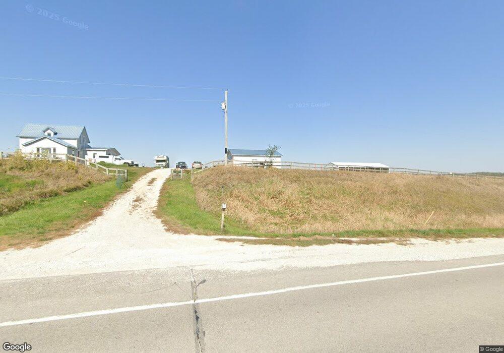
1061 State Highway 92 Winterset, IA 50273
Estimated Value: $287,000 - $359,000
4
Beds
1
Bath
1,948
Sq Ft
$168/Sq Ft
Est. Value
About This Home
This home is located at 1061 State Highway 92, Winterset, IA 50273 and is currently estimated at $327,607, approximately $168 per square foot. 1061 State Highway 92 is a home located in Madison County with nearby schools including Winterset Elementary School, Winterset Middle School, and Winterset Junior High School.
Ownership History
Date
Name
Owned For
Owner Type
Purchase Details
Closed on
May 1, 2019
Sold by
King Daniel J and King Sara R
Bought by
Ngo Jessica R and Rodriguez-Moranchel Lino
Current Estimated Value
Home Financials for this Owner
Home Financials are based on the most recent Mortgage that was taken out on this home.
Original Mortgage
$191,369
Outstanding Balance
$172,080
Interest Rate
5.5%
Mortgage Type
FHA
Estimated Equity
$155,527
Create a Home Valuation Report for This Property
The Home Valuation Report is an in-depth analysis detailing your home's value as well as a comparison with similar homes in the area
Home Values in the Area
Average Home Value in this Area
Purchase History
| Date | Buyer | Sale Price | Title Company |
|---|---|---|---|
| Ngo Jessica R | $194,900 | -- |
Source: Public Records
Mortgage History
| Date | Status | Borrower | Loan Amount |
|---|---|---|---|
| Open | Ngo Jessica R | $191,369 |
Source: Public Records
Tax History Compared to Growth
Tax History
| Year | Tax Paid | Tax Assessment Tax Assessment Total Assessment is a certain percentage of the fair market value that is determined by local assessors to be the total taxable value of land and additions on the property. | Land | Improvement |
|---|---|---|---|---|
| 2025 | $3,030 | $238,200 | $50,500 | $187,700 |
| 2024 | $3,018 | $229,600 | $60,300 | $169,300 |
| 2023 | $2,968 | $229,600 | $60,300 | $169,300 |
| 2022 | $2,892 | $188,100 | $60,300 | $127,800 |
| 2021 | $2,892 | $188,100 | $60,300 | $127,800 |
| 2020 | $2,560 | $155,700 | $39,900 | $115,800 |
| 2019 | $2,500 | $138,700 | $0 | $0 |
| 2018 | $2,450 | $138,700 | $0 | $0 |
| 2017 | $2,342 | $129,700 | $0 | $0 |
| 2016 | $2,224 | $129,700 | $0 | $0 |
| 2015 | $2,092 | $124,100 | $0 | $0 |
| 2014 | $2,102 | $124,100 | $0 | $0 |
Source: Public Records
Map
Nearby Homes
- 2169 Adair-Madison Ave
- 2169 Adair Madison Ave
- 2212 Deer Run Ave
- 000 Vinton Ave
- 3289 260th St
- 3280 260th St
- Vinton Ave
- 00 Roseman Bridge Rd
- 2378 Francesca Ave
- 2040 Stuart Rd
- 1723 Creamery Rd
- 2543 Trenton Ave
- 1103 170th St
- 000 290th St
- 300 W Grant St
- 302 W South St
- 0000 MacKsburg Rd
- 290th Street
- 1634 170th St
- 1101 Creamery Rd