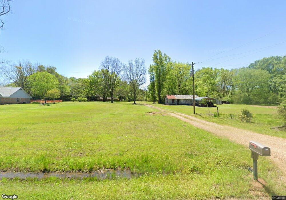
1061 Truman Creek Rd West Point, MS 39773
Estimated Value: $225,784 - $290,000
3
Beds
--
Bath
2,222
Sq Ft
$115/Sq Ft
Est. Value
About This Home
This home is located at 1061 Truman Creek Rd, West Point, MS 39773 and is currently estimated at $256,446, approximately $115 per square foot. 1061 Truman Creek Rd is a home located in Clay County with nearby schools including East Side Elementary School, West Clay Elementary School, and Church Hill Elementary School.
Ownership History
Date
Name
Owned For
Owner Type
Purchase Details
Closed on
Jun 24, 2022
Sold by
Walker Thomas Brandon
Bought by
Walker Caitlyn N
Current Estimated Value
Purchase Details
Closed on
Jul 15, 2009
Sold by
Walker Kennedy Gayle and Walker Donald F
Bought by
Walker Thomas M
Create a Home Valuation Report for This Property
The Home Valuation Report is an in-depth analysis detailing your home's value as well as a comparison with similar homes in the area
Home Values in the Area
Average Home Value in this Area
Purchase History
| Date | Buyer | Sale Price | Title Company |
|---|---|---|---|
| Walker Caitlyn N | -- | -- | |
| Walker Thomas M | -- | -- |
Source: Public Records
Tax History Compared to Growth
Tax History
| Year | Tax Paid | Tax Assessment Tax Assessment Total Assessment is a certain percentage of the fair market value that is determined by local assessors to be the total taxable value of land and additions on the property. | Land | Improvement |
|---|---|---|---|---|
| 2024 | $1,145 | $20,366 | $2,370 | $17,996 |
| 2023 | $1,936 | $17,059 | $2,370 | $14,689 |
| 2022 | $220 | $11,446 | $1,580 | $9,866 |
| 2021 | $219 | $11,446 | $1,580 | $9,866 |
| 2020 | $221 | $11,446 | $1,580 | $9,866 |
| 2019 | $206 | $11,446 | $1,580 | $9,866 |
| 2018 | $198 | $11,446 | $1,580 | $9,866 |
| 2017 | $198 | $11,446 | $1,580 | $9,866 |
| 2016 | $195 | $11,446 | $1,580 | $9,866 |
| 2015 | $149 | $10,427 | $1,580 | $8,847 |
| 2014 | $359 | $10,427 | $1,580 | $8,847 |
| 2013 | $359 | $10,427 | $1,580 | $8,847 |
Source: Public Records
Map
Nearby Homes
- 20 Beverly Dr
- 0 Old Tibbee Rd
- 346 E Brame Ave
- Tibbee Rd
- 159 Washington St
- 206 S Division St
- 229 S Division St
- 402 Cromwell St
- 500 Grove St
- 228 S Division St
- 98 Court St
- 184 Tournament St
- 238 Calhoun St
- 222 Wyman Dr
- 15 David St
- 0 Mississippi 50
- 161 Mapleview Rd
- 219 Mapleview Rd
- 1046 E Brame Ave
- 389 Mapleview Rd
- 261 Truman Creek Rd
- 1126 Truman Creek Rd
- 984 Truman Creek Rd
- 940 Truman Creek Rd
- 912 Truman Creek Rd
- 903 Truman Creek Rd
- 1240 Truman Creek Rd
- 880 Truman Creek Rd
- 342 Truman Creek Rd
- 90 Truman Creek Rd
- 1379 Truman Creek Rd
- 4835 Highway 45 Route S
- 1454 Truman Creek Rd
- 630 Truman Creek Rd
- 1450 Truman Creek Rd
- 584 Truman Creek Rd
- 1553 Truman Creek Rd
- 718 Truman Creek Rd
- 724 Truman Creek Rd
- 1570 Truman Creek Rd