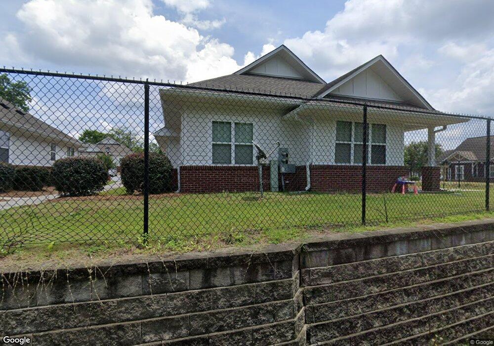
1061 Woolfolk St Macon, GA 31217
Fort Hill Historic District NeighborhoodEstimated Value: $98,000 - $527,352
--
Bed
2
Baths
1,548
Sq Ft
$174/Sq Ft
Est. Value
About This Home
This home is located at 1061 Woolfolk St, Macon, GA 31217 and is currently estimated at $269,117, approximately $173 per square foot. 1061 Woolfolk St is a home with nearby schools including Martin Luther King Jr. Elementary School, Appling Middle School, and Northeast High School.
Ownership History
Date
Name
Owned For
Owner Type
Purchase Details
Closed on
Aug 28, 2013
Sold by
Georgia Behavioral Health Services Inc
Bought by
Third Neighborhood Llc
Current Estimated Value
Purchase Details
Closed on
Jun 20, 2012
Sold by
The Macon Bibb County Land Bank Authorit
Bought by
Georgia Behavioral Health Services Inc
Purchase Details
Closed on
May 25, 2012
Sold by
Burns Derek E and Burns Donnell E
Bought by
The Macon Bibb County Land Bank Authorit
Purchase Details
Closed on
Apr 14, 1997
Bought by
Burns Derek E and Burns Donnell E
Create a Home Valuation Report for This Property
The Home Valuation Report is an in-depth analysis detailing your home's value as well as a comparison with similar homes in the area
Home Values in the Area
Average Home Value in this Area
Purchase History
| Date | Buyer | Sale Price | Title Company |
|---|---|---|---|
| Third Neighborhood Llc | -- | None Available | |
| Georgia Behavioral Health Services Inc | -- | None Available | |
| The Macon Bibb County Land Bank Authorit | $12,000 | None Available | |
| Burns Derek E | $35,000 | -- |
Source: Public Records
Tax History Compared to Growth
Tax History
| Year | Tax Paid | Tax Assessment Tax Assessment Total Assessment is a certain percentage of the fair market value that is determined by local assessors to be the total taxable value of land and additions on the property. | Land | Improvement |
|---|---|---|---|---|
| 2025 | -- | $368,264 | $10,000 | $358,264 |
| 2024 | -- | $368,264 | $10,000 | $358,264 |
| 2023 | $0 | $368,264 | $10,000 | $358,264 |
| 2022 | $10,831 | $285,018 | $10,000 | $275,018 |
| 2021 | $10,831 | $285,018 | $10,000 | $275,018 |
| 2020 | $11,391 | $285,018 | $10,000 | $275,018 |
| 2019 | $11,391 | $285,018 | $10,000 | $275,018 |
| 2018 | $1,200 | $285,018 | $10,000 | $275,018 |
| 2017 | $0 | $278,681 | $10,000 | $268,681 |
| 2016 | $0 | $278,681 | $10,000 | $268,681 |
| 2015 | -- | $278,681 | $10,000 | $268,681 |
| 2014 | -- | $272,681 | $4,000 | $268,681 |
Source: Public Records
Map
Nearby Homes
- 688 Bowman St
- 1093 Woolfolk St
- 672 Bowman St
- 660 Bowman St
- 646 Bowman St
- 685 Bowman St
- 663 Bowman St
- 655 Bowman St
- 643 Society St
- 1090 Woolfolk St
- 634 Bowman St
- 1041 Woolfolk St
- 633 Society St
- 711 Bowman St
- 1058 Woolfolk St
- 626 Bowman St
- 1039 Woolfolk St
- 1141 Woolfolk St
- 736 Bowman St
- 1046 Woolfolk St