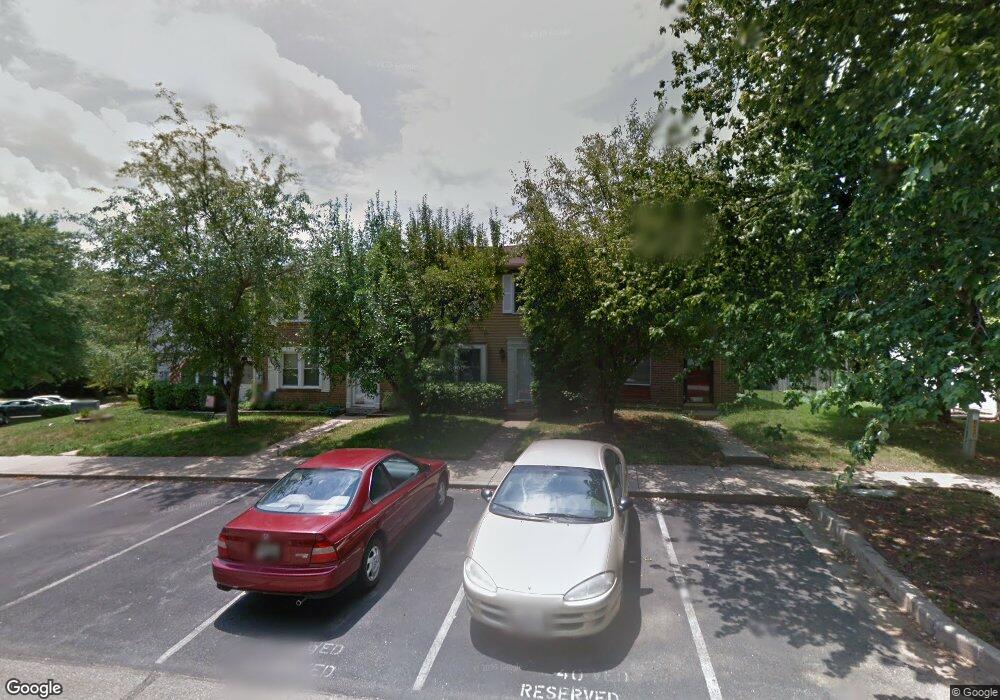
10614 Whiterock Ct Laurel, MD 20723
Estimated Value: $329,016 - $396,000
Studio
2
Baths
1,280
Sq Ft
$289/Sq Ft
Est. Value
About This Home
This home is located at 10614 Whiterock Ct, Laurel, MD 20723 and is currently estimated at $369,754, approximately $288 per square foot. 10614 Whiterock Ct is a home located in Howard County with nearby schools including Hammond Elementary School, Hammond Middle School, and Atholton High School.
Ownership History
Date
Name
Owned For
Owner Type
Purchase Details
Closed on
Dec 9, 1983
Sold by
Ryan Homes Inc
Bought by
Pencak Joseph M
Current Estimated Value
Home Financials for this Owner
Home Financials are based on the most recent Mortgage that was taken out on this home.
Original Mortgage
$51,550
Interest Rate
13.38%
Purchase Details
Closed on
Oct 13, 1983
Sold by
Murray Hill Associates
Bought by
Ryan Homes Inc
Home Financials for this Owner
Home Financials are based on the most recent Mortgage that was taken out on this home.
Original Mortgage
$51,550
Interest Rate
13.38%
Create a Home Valuation Report for This Property
The Home Valuation Report is an in-depth analysis detailing your home's value as well as a comparison with similar homes in the area
Home Values in the Area
Average Home Value in this Area
Purchase History
| Date | Buyer | Sale Price | Title Company |
|---|---|---|---|
| Pencak Joseph M | $65,600 | -- | |
| Ryan Homes Inc | $224,400 | -- |
Source: Public Records
Mortgage History
| Date | Status | Borrower | Loan Amount |
|---|---|---|---|
| Closed | Pencak Joseph M | $51,550 |
Source: Public Records
Tax History
| Year | Tax Paid | Tax Assessment Tax Assessment Total Assessment is a certain percentage of the fair market value that is determined by local assessors to be the total taxable value of land and additions on the property. | Land | Improvement |
|---|---|---|---|---|
| 2025 | $4,307 | $285,200 | $155,000 | $130,200 |
| 2024 | $4,307 | $271,600 | $0 | $0 |
| 2023 | $4,070 | $258,000 | $0 | $0 |
| 2022 | $3,852 | $244,400 | $130,000 | $114,400 |
| 2021 | $3,695 | $238,933 | $0 | $0 |
| 2020 | $3,695 | $233,467 | $0 | $0 |
| 2019 | $3,616 | $228,000 | $80,000 | $148,000 |
| 2018 | $3,257 | $223,367 | $0 | $0 |
| 2017 | $3,115 | $228,000 | $0 | $0 |
| 2016 | -- | $214,100 | $0 | $0 |
| 2015 | -- | $210,467 | $0 | $0 |
| 2014 | -- | $206,833 | $0 | $0 |
Source: Public Records
Map
Nearby Homes
- 10747 Glen Hannah Dr
- 8251 Mary Lee Ln
- 10571 Scaggsville Rd
- 7926 Helmart Dr
- 7920 Helmart Dr
- 8002 Quail Rise Ln
- 10681 Old Bond Mill Rd
- 10725 E Crestview Ln
- 8616 Doves Fly Way
- 10213 Deep Skies Dr
- 8302 Spring Blossom Ct
- 8380 Ice Crystal Dr
- 9843 Snow Bird Ln
- 9046 Gorman Rd
- 9843 Wilderness Ln
- 9756 Knowledge Dr
- 7803 Tuckahoe Ct
- 9926 Cypress Way
- 7524 Sweet Hours Way Unit B
- 7507 Weather Worn Way Unit C
- 10616 Whiterock Ct
- 10612 Whiterock Ct
- 10618 Whiterock Ct
- 10608 Whiterock Ct
- 10622 Whiterock Ct
- 10606 Whiterock Ct
- 10604 Whiterock Ct
- 10626 Whiterock Ct
- 10611 Glen Hannah Dr
- 10602 Whiterock Ct
- 10613 Glen Hannah Dr
- 10615 Glen Hannah Dr
- 10628 Whiterock Ct
- 10617 Glen Hannah Dr
- 10611 Whiterock Ct
- 10607 Whiterock Ct
- 10613 Whiterock Ct
- 10632 Whiterock Ct
- 10615 Whiterock Ct
- 10605 Whiterock Ct
Your Personal Tour Guide
Ask me questions while you tour the home.