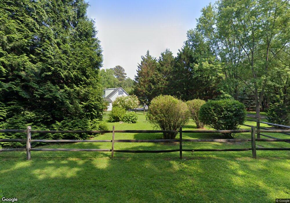
10615 Todds Corner Rd Easton, MD 21601
Estimated Value: $1,200,000 - $1,451,000
--
Bed
4
Baths
3,401
Sq Ft
$385/Sq Ft
Est. Value
About This Home
This home is located at 10615 Todds Corner Rd, Easton, MD 21601 and is currently estimated at $1,310,989, approximately $385 per square foot. 10615 Todds Corner Rd is a home located in Talbot County with nearby schools including St. Michaels Elementary School, St. Michaels Middle/High School, and Easton High School.
Ownership History
Date
Name
Owned For
Owner Type
Purchase Details
Closed on
Jun 16, 2017
Sold by
Smith Smith J and Smith Sally W
Bought by
Smith Smith J and Smith Sally W
Current Estimated Value
Purchase Details
Closed on
Sep 27, 2007
Sold by
St L&Au Norm D & Jay E
Bought by
Smith J. Andrew and Smith Sally W
Purchase Details
Closed on
Sep 14, 2007
Sold by
St L&Au Norm D & Jay E
Bought by
Smith J. Andrew and Smith Sally W
Purchase Details
Closed on
Jan 16, 2001
Sold by
Heil John W and Heil Eileen M
Bought by
St Landau Norm D & Jay E
Purchase Details
Closed on
Nov 20, 1998
Sold by
Amerault Thomas E and Amerault Frances J
Bought by
Heil John W and Heil Eileen M
Create a Home Valuation Report for This Property
The Home Valuation Report is an in-depth analysis detailing your home's value as well as a comparison with similar homes in the area
Home Values in the Area
Average Home Value in this Area
Purchase History
| Date | Buyer | Sale Price | Title Company |
|---|---|---|---|
| Smith Smith J | -- | None Available | |
| Smith J. Andrew | $745,000 | -- | |
| Smith J. Andrew | $745,000 | -- | |
| St Landau Norm D & Jay E | $480,000 | -- | |
| Heil John W | $92,000 | -- |
Source: Public Records
Tax History Compared to Growth
Tax History
| Year | Tax Paid | Tax Assessment Tax Assessment Total Assessment is a certain percentage of the fair market value that is determined by local assessors to be the total taxable value of land and additions on the property. | Land | Improvement |
|---|---|---|---|---|
| 2025 | $5,488 | $743,567 | $0 | $0 |
| 2024 | $5,488 | $702,800 | $223,100 | $479,700 |
| 2023 | $5,203 | $694,433 | $0 | $0 |
| 2022 | $4,838 | $686,067 | $0 | $0 |
| 2021 | $4,546 | $677,700 | $216,100 | $461,600 |
| 2020 | $4,546 | $656,833 | $0 | $0 |
| 2019 | $4,523 | $635,967 | $0 | $0 |
| 2018 | $4,355 | $615,100 | $216,100 | $399,000 |
| 2017 | $4,137 | $605,067 | $0 | $0 |
| 2016 | $3,879 | $595,033 | $0 | $0 |
| 2015 | $4,020 | $585,000 | $0 | $0 |
| 2014 | $4,020 | $585,000 | $0 | $0 |
Source: Public Records
Map
Nearby Homes
- 27772 Sharp Rd
- 9900 Eagle Dr
- 27047 Presquile Rd
- 26972 Tunis Mills Rd
- 9517 Gulleys Cove Ln
- 8629 Unionville Rd
- 0 Unionville Rd Unit MDTA2008824
- 11977 Billys Point Ln
- 9361 Woodstock Ln
- 27413 Ferry Bridge Rd
- 26546 Presquile Dr N
- 11470 Wye Heights Rd
- 11340 Longwoods Rd
- 0 Hunting Creek Ln Unit MDTA2011738
- 10118 Hiners Ln
- 9170 Hunting Creek Ln
- 27460 Rest Cir
- 8534 Northbend Rd
- 3207 Bennett Point Rd
- 27240 Hayward Trail
- 10551 Todds Corner Rd
- 10644 Lake Rd
- 10626 Lake Rd
- 10545 Todds Corner Rd
- 10600 Lake Rd
- 10711 Todds Corner Rd
- 224 Lake Rd
- 222 Lake Rd
- 27334 Little Park Rd
- 10478 Todds Corner Rd
- 10530 Lake Rd
- 27336 Little Park Rd
- 10484 Todds Corner Rd
- 10716 Todds Corner Rd
- 10500 Lake Rd
- 10555 Lake Rd
- 0 Todd's Corner Rd Unit 1000048679
- 10490 Lake Rd
- 10370 Todds Corner Rd
- 10516 Todds Corner Rd