1062 Blue Ridge Ln McComb, MS 39648
Estimated Value: $238,000 - $293,000
4
Beds
2
Baths
2,100
Sq Ft
$125/Sq Ft
Est. Value
About This Home
This home is located at 1062 Blue Ridge Ln, McComb, MS 39648 and is currently estimated at $261,934, approximately $124 per square foot. 1062 Blue Ridge Ln is a home located in Pike County with nearby schools including North Pike Elementary School, North Pike Middle School, and North Pike Senior High School.
Ownership History
Date
Name
Owned For
Owner Type
Purchase Details
Closed on
Aug 11, 2016
Sold by
Delette Courtney Lander and Delette Kevin Paul
Bought by
Delette Courtney Lander
Current Estimated Value
Purchase Details
Closed on
May 26, 2011
Sold by
Lindley Thomas R and Lindley Lauren L
Bought by
Delette Kevin P and Lee Laura L
Home Financials for this Owner
Home Financials are based on the most recent Mortgage that was taken out on this home.
Original Mortgage
$197,464
Outstanding Balance
$135,914
Interest Rate
4.75%
Mortgage Type
FHA
Estimated Equity
$126,021
Create a Home Valuation Report for This Property
The Home Valuation Report is an in-depth analysis detailing your home's value as well as a comparison with similar homes in the area
Home Values in the Area
Average Home Value in this Area
Purchase History
| Date | Buyer | Sale Price | Title Company |
|---|---|---|---|
| Delette Courtney Lander | -- | None Available | |
| Delette Kevin P | -- | None Available |
Source: Public Records
Mortgage History
| Date | Status | Borrower | Loan Amount |
|---|---|---|---|
| Open | Delette Kevin P | $197,464 |
Source: Public Records
Tax History Compared to Growth
Tax History
| Year | Tax Paid | Tax Assessment Tax Assessment Total Assessment is a certain percentage of the fair market value that is determined by local assessors to be the total taxable value of land and additions on the property. | Land | Improvement |
|---|---|---|---|---|
| 2025 | $1,887 | $18,805 | $0 | $0 |
| 2024 | $1,887 | $15,919 | $0 | $0 |
| 2023 | $1,840 | $15,919 | $0 | $0 |
| 2022 | $1,809 | $15,919 | $0 | $0 |
| 2021 | $1,804 | $15,919 | $0 | $0 |
| 2020 | $1,897 | $16,558 | $0 | $0 |
| 2019 | $1,844 | $16,558 | $0 | $0 |
| 2018 | $1,830 | $16,558 | $0 | $0 |
| 2017 | $1,784 | $16,558 | $0 | $0 |
| 2016 | $1,474 | $15,964 | $0 | $0 |
| 2015 | -- | $15,348 | $0 | $0 |
| 2014 | -- | $23,022 | $0 | $0 |
| 2013 | -- | $23,022 | $0 | $0 |
Source: Public Records
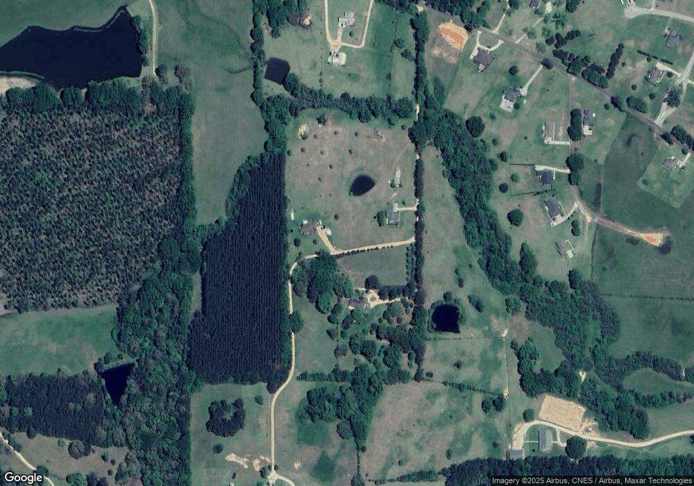
Map
Nearby Homes
- 1011 Rolling Oaks Dr
- 1156 Boone Rd
- 0 Rolling Oaks Dr
- 1037 Boone Rd
- TBD Hwy 44e
- 2147 McComb Holmesville Rd
- No Integrity Rd
- 0 Integrity Rd
- 1011 Eastover Ln
- 1041 Van Norman Curve
- 1148 Morgantown Rd
- 1004 Van Norman Curve
- 0 Morgantown Rd Unit 4125975
- 1022 Friendship Cir
- 1019 Pearl River Avenue Extension
- 1102 Pearl River Ave
- 1031 Pearl River Ave
- 1002 Avenue F None
- 1002 Avenue F
- XXX Brewer Ln
- 1061 Blue Ridge Ln
- 1042 Blue Ridge Ln
- 1043 Blue Ridge Ln
- 1043 Blue Ridge Ln
- 0 Blue Ridge Ln
- TBD Blue Ridge Ln
- 4126 Summit Holmesville Rd
- 1018 Twin Oaks Dr
- 1040 Blue Ridge Ln
- 4156 Summit-Hvil Rd
- 1022 Twin Oaks Dr
- 1028 Twin Oaks Dr
- 4120 Summit Holmesville Rd
- 1012 Twin Oaks Dr
- 4114 Summit-Hville Rd
- 4090 Summit-Hville Rd
- 4131 Summit Holmesville Rd
- 4149 Summit Holmesville Rd
- 4167 Summit Holmesville Rd
- 1007 Clover Ln