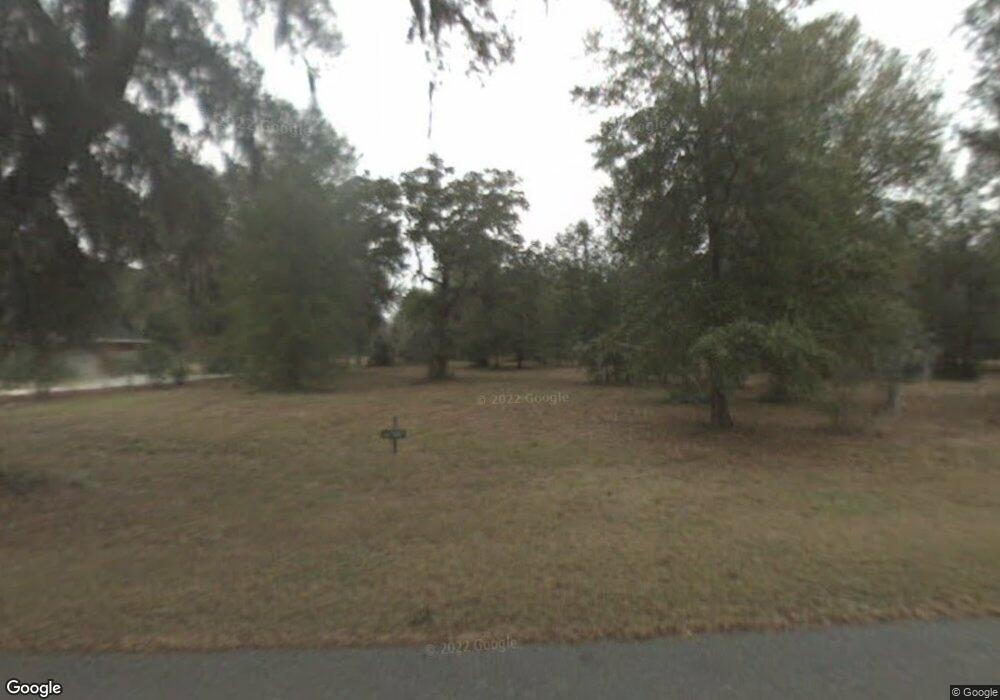
1062 Eagle Way NE Townsend, GA 31331
Estimated Value: $455,000 - $627,000
3
Beds
3
Baths
2,012
Sq Ft
$253/Sq Ft
Est. Value
About This Home
This home is located at 1062 Eagle Way NE, Townsend, GA 31331 and is currently estimated at $508,063, approximately $252 per square foot. 1062 Eagle Way NE is a home with nearby schools including Todd Grant Elementary School, McIntosh County Middle School, and McIntosh County Academy.
Ownership History
Date
Name
Owned For
Owner Type
Purchase Details
Closed on
Sep 24, 2013
Sold by
Andrews Betty V B
Bought by
Reddock V Cristin
Current Estimated Value
Purchase Details
Closed on
Jul 26, 2012
Sold by
The Patterson Bank
Bought by
Andrews Betty V B
Purchase Details
Closed on
Apr 3, 2012
Sold by
Patterson Bank
Bought by
Patterson Bank
Purchase Details
Closed on
Sep 2, 2003
Sold by
Sgap Properties Inc
Bought by
Rocker John L
Create a Home Valuation Report for This Property
The Home Valuation Report is an in-depth analysis detailing your home's value as well as a comparison with similar homes in the area
Home Values in the Area
Average Home Value in this Area
Purchase History
| Date | Buyer | Sale Price | Title Company |
|---|---|---|---|
| Reddock V Cristin | -- | -- | |
| Andrews Betty V B | $12,500 | -- | |
| Patterson Bank | -- | -- | |
| Rocker John L | $49,900 | -- |
Source: Public Records
Tax History Compared to Growth
Tax History
| Year | Tax Paid | Tax Assessment Tax Assessment Total Assessment is a certain percentage of the fair market value that is determined by local assessors to be the total taxable value of land and additions on the property. | Land | Improvement |
|---|---|---|---|---|
| 2024 | $2,668 | $160,960 | $8,000 | $152,960 |
| 2023 | $2,677 | $153,680 | $8,000 | $145,680 |
| 2022 | $2,677 | $123,320 | $3,600 | $119,720 |
| 2021 | $2,463 | $92,680 | $3,600 | $89,080 |
| 2020 | $2,578 | $91,520 | $4,000 | $87,520 |
| 2019 | $2,336 | $87,920 | $5,000 | $82,920 |
| 2018 | $2,363 | $88,920 | $6,000 | $82,920 |
| 2017 | $2,409 | $80,480 | $4,800 | $75,680 |
| 2016 | $2,148 | $80,840 | $10,000 | $70,840 |
| 2015 | $2,200 | $82,616 | $10,000 | $72,616 |
| 2014 | -- | $82,616 | $10,000 | $72,616 |
Source: Public Records
Map
Nearby Homes
- Lot 221 Eagle Way NE
- Lot 220 Eagle Way NE
- Lot 231 Coopers Landing Dr NE
- 423 Coopers Landing Dr
- LOT 309 Cooper's Point Dr NE
- 3217 Coopers Point Dr NE
- 48 Coopers Point Dr NE
- 49 Coopers Point Dr NE
- 51 Coopers Point Dr NE
- lot 405 Blackberry Ln
- 308 Coopers Point Dr NE
- LOT 1A-13 Coopers Point Dr NE
- Lot 263 Coopers Point Dr NE
- Rd 1 Coopers Point Dr NE
- 307 Coopers Point Dr NE
- 0 Coopers Point Dr NE Unit 1650984
- Lot 512 Marsh Hen Rd NE
- Lot 513 N Marsh Hen Rd NE
- LOT 504 N Marsh Hen Rd NE
- Lot 503 N Marsh Hen Rd NE
- 0 Eagle Way
- 1088 Eagle Way NE
- 1105 Eagle Way NE
- Lot 236 Coopers Landing Dr NE
- 1401 Coopers Landing Dr NE
- 2894 Coopers Point Dr NE
- 231 Coopers Point Dr
- Lot 239 Coopers Landing Dr
- 139 Coopers Point Dr NE
- 251 Lot 251 Coopers Point
- 303 Coopers Point Landing Dr
- 249 Coopers Point Dr NE
- 266 Coopers Pt Dr
- 201 Coopers Pt Dr
- 266 Coopers Point Dr NE
- 201 Coopers Pt Dr Unit Lot 201
- 266 Coopers Pt Dr Unit Lot 266
- 316 Coopers Point Dr NE Unit Lot 316
- 316 Coopers Point Dr NE
- 2657 Coopers Point Dr NE
