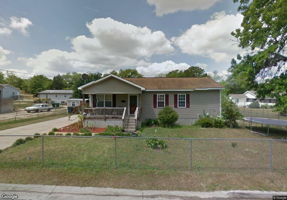
1062 Joe Davis St Macon, GA 31217
Estimated Value: $83,000 - $102,000
3
Beds
1
Bath
1,118
Sq Ft
$83/Sq Ft
Est. Value
About This Home
This home is located at 1062 Joe Davis St, Macon, GA 31217 and is currently estimated at $93,294, approximately $83 per square foot. 1062 Joe Davis St is a home located in Bibb County with nearby schools including Burdell Elementary School, Appling Middle School, and Northeast High School.
Ownership History
Date
Name
Owned For
Owner Type
Purchase Details
Closed on
May 31, 2007
Sold by
Macon Area Habitat For Humanity Inc
Bought by
Jones Debra
Current Estimated Value
Home Financials for this Owner
Home Financials are based on the most recent Mortgage that was taken out on this home.
Original Mortgage
$25,313
Interest Rate
6.12%
Mortgage Type
Purchase Money Mortgage
Create a Home Valuation Report for This Property
The Home Valuation Report is an in-depth analysis detailing your home's value as well as a comparison with similar homes in the area
Home Values in the Area
Average Home Value in this Area
Purchase History
| Date | Buyer | Sale Price | Title Company |
|---|---|---|---|
| Jones Debra | $40,000 | None Available |
Source: Public Records
Mortgage History
| Date | Status | Borrower | Loan Amount |
|---|---|---|---|
| Previous Owner | Jones Debra | $25,313 |
Source: Public Records
Tax History Compared to Growth
Tax History
| Year | Tax Paid | Tax Assessment Tax Assessment Total Assessment is a certain percentage of the fair market value that is determined by local assessors to be the total taxable value of land and additions on the property. | Land | Improvement |
|---|---|---|---|---|
| 2025 | $882 | $35,883 | $3,366 | $32,517 |
| 2024 | $798 | $31,425 | $2,160 | $29,265 |
| 2023 | $789 | $31,065 | $1,800 | $29,265 |
| 2022 | $747 | $21,578 | $2,746 | $18,832 |
| 2021 | $550 | $14,482 | $1,030 | $13,452 |
| 2020 | $510 | $13,137 | $1,030 | $12,107 |
| 2019 | $462 | $11,792 | $1,030 | $10,762 |
| 2018 | $887 | $11,792 | $1,030 | $10,762 |
| 2017 | $442 | $11,792 | $1,030 | $10,762 |
| 2016 | $408 | $11,791 | $1,030 | $10,762 |
| 2015 | $577 | $11,791 | $1,030 | $10,762 |
| 2014 | $819 | $14,550 | $1,098 | $13,452 |
Source: Public Records
Map
Nearby Homes
- 725 Schaeffer Place
- 972 Norris St
- 857 Mitchell St
- 1204 Norris St
- 751 Mitchell St
- 1059 Fort Hill St
- 722 Mitchell St
- 727 Smith St
- 845 Norris St
- 738 Hall St
- 1024 Clarks Ln
- 774 Maynard St
- 760 Cowan St
- 1213 Eastview Ave
- 1209 Eastview Ave
- 768 Maynard St
- 735 Maynard St
- 661 Coleman Ln
- 769 Bowman St
- 747 Bowman St
- 1052 Joe Davis St
- 1065 Norris St
- 935 Taylor St
- 925 Taylor St
- 1021 Norris St
- 915 Taylor St
- 1071 Joe Davis St
- 1052 Kitchens St
- 1032 Joe Davis St
- 914 Mitchell St
- 961 Taylor St
- 991 Taylor St
- 891 Taylor St
- 936 Taylor St
- 924 Taylor St
- 906 Taylor St
- 960 Taylor St
- 0 Norris St
- 886 Mitchell St
- 870 Mitchell St