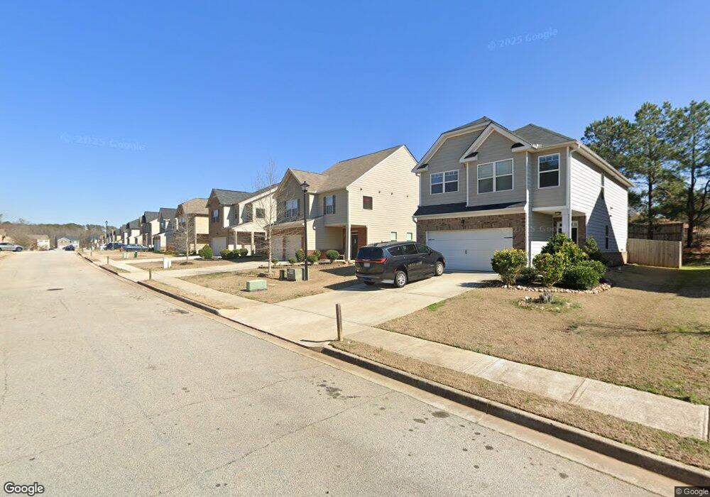
1062 Lear Dr Unit 418 Locust Grove, GA 30248
Estimated Value: $313,000 - $340,000
4
Beds
3
Baths
2,297
Sq Ft
$143/Sq Ft
Est. Value
About This Home
This home is located at 1062 Lear Dr Unit 418, Locust Grove, GA 30248 and is currently estimated at $328,247, approximately $142 per square foot. 1062 Lear Dr Unit 418 is a home located in Henry County with nearby schools including Locust Grove Elementary School, Locust Grove Middle School, and Locust Grove High School.
Ownership History
Date
Name
Owned For
Owner Type
Purchase Details
Closed on
Oct 17, 2018
Sold by
Dr Horton Inc
Bought by
Craig Stanford
Current Estimated Value
Home Financials for this Owner
Home Financials are based on the most recent Mortgage that was taken out on this home.
Original Mortgage
$187,878
Outstanding Balance
$165,945
Interest Rate
5.12%
Mortgage Type
FHA
Estimated Equity
$162,302
Purchase Details
Closed on
May 18, 2018
Sold by
Gdci Ga 5 Lp
Bought by
Dr Horton Inc
Purchase Details
Closed on
May 30, 2014
Sold by
Res Ga Two Llc
Bought by
Gdic Ga 5 Lp
Create a Home Valuation Report for This Property
The Home Valuation Report is an in-depth analysis detailing your home's value as well as a comparison with similar homes in the area
Home Values in the Area
Average Home Value in this Area
Purchase History
| Date | Buyer | Sale Price | Title Company |
|---|---|---|---|
| Craig Stanford | $191,345 | -- | |
| Dr Horton Inc | $147,241 | -- | |
| Gdic Ga 5 Lp | $2,431,000 | -- |
Source: Public Records
Mortgage History
| Date | Status | Borrower | Loan Amount |
|---|---|---|---|
| Open | Craig Stanford | $187,878 |
Source: Public Records
Tax History Compared to Growth
Tax History
| Year | Tax Paid | Tax Assessment Tax Assessment Total Assessment is a certain percentage of the fair market value that is determined by local assessors to be the total taxable value of land and additions on the property. | Land | Improvement |
|---|---|---|---|---|
| 2025 | $4,117 | $127,080 | $16,000 | $111,080 |
| 2024 | $4,117 | $135,120 | $16,000 | $119,120 |
| 2023 | $3,594 | $139,720 | $21,200 | $118,520 |
| 2022 | $3,338 | $106,880 | $21,200 | $85,680 |
| 2021 | $2,912 | $90,040 | $21,200 | $68,840 |
| 2020 | $2,731 | $81,040 | $12,000 | $69,040 |
| 2019 | $2,856 | $76,560 | $11,714 | $64,846 |
| 2018 | $0 | $10,800 | $10,800 | $0 |
| 2016 | $146 | $4,000 | $4,000 | $0 |
| 2015 | $128 | $4,000 | $4,000 | $0 |
| 2014 | $82 | $2,160 | $2,160 | $0 |
Source: Public Records
Map
Nearby Homes
- 1064 Lear Dr
- 565 Carleton Place
- 231 Ferguson Ave
- 239 Ferguson Ave
- 143 Massey Ln
- 0 Locust Rd Unit 10495072
- 0 Locust Rd Unit 19967321
- 0 Jackson St Unit 10554689
- 380 Higgins Rd
- 1537 Jackson St
- 208 Umber Rd
- 212 Umber Rd
- 269 Baumgard Way
- 188 Sophie Cir
- 150 Aster Ave
- Cali Plan at Cedar Ridge - Locust Grove Station
- Belfort Plan at Cedar Ridge - Locust Grove Station
- Galen Plan at Cedar Ridge - Locust Grove Station
- Hayden Plan at Cedar Ridge - Locust Grove Station
- Packard Plan at Cedar Ridge - Locust Grove Station
- 1062 Lear Dr
- 1064 Lear Dr Unit 417
- 1060 Lear Dr
- 1066 Lear Dr
- 1068 Lear Dr
- 1058 Lear Dr
- 1058 Lear Dr Unit 420
- 1056 Lear Dr Unit 421
- 1056 Lear Dr
- 1065 Lear Dr
- 1067 Lear Dr
- 1063 Lear Dr
- 1063 Lear Dr Unit 426
- 1069 Lear Dr
- 1070 Lear Dr
- 1071 Lear Dr
- 1071 Lear Dr Unit 430
- 0 Elmstead Place Unit 8631581
- 1320 Elmstead Place Unit Firefly
- 1320 Elmstead Place Unit Hawking