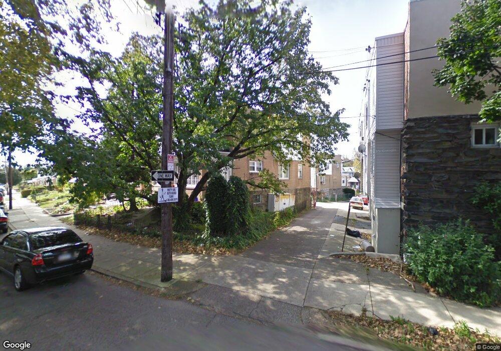
1062 N 67th St Philadelphia, PA 19151
Overbrook NeighborhoodEstimated Value: $210,000 - $235,313
3
Beds
1
Bath
1,402
Sq Ft
$160/Sq Ft
Est. Value
About This Home
This home is located at 1062 N 67th St, Philadelphia, PA 19151 and is currently estimated at $224,828, approximately $160 per square foot. 1062 N 67th St is a home located in Philadelphia County with nearby schools including Overbrook High School, Ad Prima Charter School, and Harambee Institute of Science and Techno.
Ownership History
Date
Name
Owned For
Owner Type
Purchase Details
Closed on
Jul 31, 2012
Sold by
Taylor Joan H
Bought by
Martin Gyasi O
Current Estimated Value
Home Financials for this Owner
Home Financials are based on the most recent Mortgage that was taken out on this home.
Original Mortgage
$83,600
Outstanding Balance
$57,996
Interest Rate
3.7%
Mortgage Type
New Conventional
Estimated Equity
$166,832
Purchase Details
Closed on
Apr 30, 1997
Sold by
Morinelli Anthony C and Morinelli Mena M
Bought by
Taylor Joan H
Create a Home Valuation Report for This Property
The Home Valuation Report is an in-depth analysis detailing your home's value as well as a comparison with similar homes in the area
Home Values in the Area
Average Home Value in this Area
Purchase History
| Date | Buyer | Sale Price | Title Company |
|---|---|---|---|
| Martin Gyasi O | $88,000 | None Available | |
| Taylor Joan H | $57,000 | Penn Title Insurance Co |
Source: Public Records
Mortgage History
| Date | Status | Borrower | Loan Amount |
|---|---|---|---|
| Open | Martin Gyasi O | $83,600 |
Source: Public Records
Tax History Compared to Growth
Tax History
| Year | Tax Paid | Tax Assessment Tax Assessment Total Assessment is a certain percentage of the fair market value that is determined by local assessors to be the total taxable value of land and additions on the property. | Land | Improvement |
|---|---|---|---|---|
| 2025 | $2,592 | $226,000 | $45,200 | $180,800 |
| 2024 | $2,592 | $226,000 | $45,200 | $180,800 |
| 2023 | $2,592 | $185,200 | $37,040 | $148,160 |
| 2022 | $1,307 | $140,200 | $37,040 | $103,160 |
| 2021 | $1,937 | $0 | $0 | $0 |
| 2020 | $1,937 | $0 | $0 | $0 |
| 2019 | $1,866 | $0 | $0 | $0 |
| 2018 | $1,400 | $0 | $0 | $0 |
| 2017 | $1,820 | $0 | $0 | $0 |
| 2016 | $1,400 | $0 | $0 | $0 |
| 2015 | $1,340 | $0 | $0 | $0 |
| 2014 | -- | $130,000 | $16,520 | $113,480 |
| 2012 | -- | $16,640 | $3,400 | $13,240 |
Source: Public Records
Map
Nearby Homes
- 6618 Malvern Ave
- 924 N 66th St
- 1004 N 66th St
- 947 N 66th St
- 1210 Atwood Rd
- 6528 Lebanon Ave
- 838 N 65th St
- 717 N 67th St
- 1200 N 64th St
- 706 Edgemore Rd
- 925 Marlyn Rd
- 1258 N 64th St
- 6451 Woodcrest Ave
- 703 N 66th St
- 657 N 66th St
- 621 N 67th St
- 6452 Lansdowne Ave
- 6647 Haverford Ave
- 6345 Lebanon Ave
- 653 Atwood Rd
- 1060 N 67th St
- 1058 N 67th St
- 1056 N 67th St
- 6706 Malvern Ave
- 6702 Malvern Ave
- 6704 Malvern Ave
- 1054 N 67th St
- 6700 Malvern Ave
- 6710 Malvern Ave
- 6708 Malvern Ave
- 1052 N 67th St
- 1061 Flanders Rd
- 6712 Malvern Ave
- 6714 Malvern Ave
- 1050 N 67th St
- 1059 Flanders Rd
- 1057 Flanders Rd
- 6716 Malvern Ave
- 1055 Flanders Rd
- 1048 N 67th St