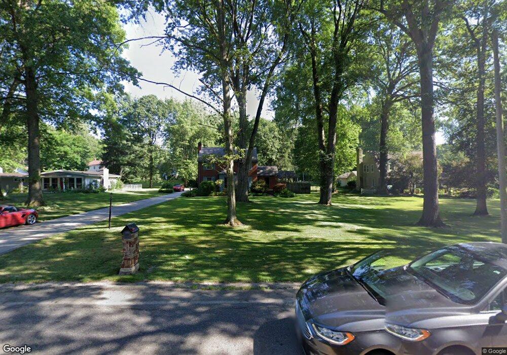
1062 Shields Rd Youngstown, OH 44511
Estimated Value: $222,000 - $257,000
3
Beds
2
Baths
1,712
Sq Ft
$143/Sq Ft
Est. Value
About This Home
This home is located at 1062 Shields Rd, Youngstown, OH 44511 and is currently estimated at $244,714, approximately $142 per square foot. 1062 Shields Rd is a home located in Mahoning County with nearby schools including West Boulevard Elementary School, Boardman Center Middle School, and Boardman High School.
Ownership History
Date
Name
Owned For
Owner Type
Purchase Details
Closed on
Aug 29, 2001
Sold by
Kaminsky David C and Kaminsky Barbara S
Bought by
Brown Richard L and Balsley Catherine
Current Estimated Value
Home Financials for this Owner
Home Financials are based on the most recent Mortgage that was taken out on this home.
Original Mortgage
$77,600
Outstanding Balance
$30,414
Interest Rate
7.06%
Estimated Equity
$214,300
Purchase Details
Closed on
May 8, 1981
Bought by
Kaminsky David C and Kaminsky Barb A
Create a Home Valuation Report for This Property
The Home Valuation Report is an in-depth analysis detailing your home's value as well as a comparison with similar homes in the area
Home Values in the Area
Average Home Value in this Area
Purchase History
| Date | Buyer | Sale Price | Title Company |
|---|---|---|---|
| Brown Richard L | $97,000 | -- | |
| Kaminsky David C | -- | -- |
Source: Public Records
Mortgage History
| Date | Status | Borrower | Loan Amount |
|---|---|---|---|
| Open | Brown Richard L | $77,600 | |
| Closed | Brown Richard L | $22,400 |
Source: Public Records
Tax History Compared to Growth
Tax History
| Year | Tax Paid | Tax Assessment Tax Assessment Total Assessment is a certain percentage of the fair market value that is determined by local assessors to be the total taxable value of land and additions on the property. | Land | Improvement |
|---|---|---|---|---|
| 2024 | $3,897 | $77,170 | $9,510 | $67,660 |
| 2023 | $3,844 | $77,170 | $9,510 | $67,660 |
| 2022 | $3,417 | $49,900 | $9,500 | $40,400 |
| 2021 | $3,256 | $49,900 | $9,500 | $40,400 |
| 2020 | $3,273 | $49,900 | $9,500 | $40,400 |
| 2019 | $2,932 | $39,920 | $7,600 | $32,320 |
| 2018 | $2,530 | $39,920 | $7,600 | $32,320 |
| 2017 | $2,527 | $39,920 | $7,600 | $32,320 |
| 2016 | $2,784 | $43,550 | $7,600 | $35,950 |
| 2015 | $2,728 | $43,550 | $7,600 | $35,950 |
| 2014 | $2,736 | $43,550 | $7,600 | $35,950 |
| 2013 | $2,701 | $43,550 | $7,600 | $35,950 |
Source: Public Records
Map
Nearby Homes
- 990 Westport Dr
- 1272 Valley View Dr
- 5670 Tracy Dr
- 1342 Shields Rd
- 29 Gillian Ln
- 138 Robinhood Way
- 5097 Tippwood Ct
- 4042 Baymar Dr
- 4506 Green Glen Dr
- 950 Donmar Ln
- 537 W Glen Dr
- 4543 Tippecanoe Rd
- 4096 Bob o Link Dr
- 4615 Beech Ct
- 0 Linden Place
- 1422 Turnberry Dr
- 3927 Hopkins Rd
- 5200 West Blvd Unit 505
- 3682 Sperone Dr
- 2981 Louise Rita Ct
- 1052 Shields Rd
- 1082 Shields Rd
- 1042 Shields Rd
- 5073 Lockwood Blvd
- 959 Augusta Dr
- 957 Augusta Dr
- 1098 Shields Rd
- 5067 Lockwood Blvd
- 5313 Shadow Creek Dr
- 1022 Westport Cir
- 1020 Westport Cir
- 5323 Shadow Creek Dr
- 955 Augusta Dr
- 961 Augusta Dr
- 5025 Lockwood Blvd
- 1018 Westport Cir
- 5303 Shadow Creek Dr
- 1024 Westport Cir
- 1016 Westport Cir
- 5333 Shadow Creek Dr