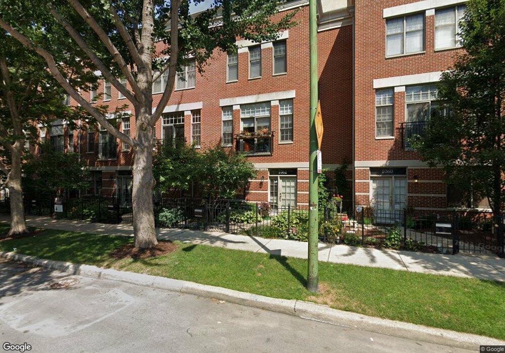
1062 W Fry St Chicago, IL 60642
West Town NeighborhoodEstimated Value: $640,000 - $903,000
2
Beds
3
Baths
1,838
Sq Ft
$422/Sq Ft
Est. Value
About This Home
This home is located at 1062 W Fry St, Chicago, IL 60642 and is currently estimated at $775,987, approximately $422 per square foot. 1062 W Fry St is a home located in Cook County with nearby schools including Ogden Elementary School, Wells Community Academy High School, and Noble St Chtr-Noble Campus.
Ownership History
Date
Name
Owned For
Owner Type
Purchase Details
Closed on
Dec 27, 2011
Sold by
Joyce Timothy J and Joyce Staci B
Bought by
Joyce Timothy J and Joyce Staci B
Current Estimated Value
Purchase Details
Closed on
Jun 12, 2003
Sold by
Dry Steven E and Dry Allison Rothschild
Bought by
Joyce Timothy J and Moskovitz Staci B
Home Financials for this Owner
Home Financials are based on the most recent Mortgage that was taken out on this home.
Original Mortgage
$360,000
Outstanding Balance
$144,632
Interest Rate
4.87%
Mortgage Type
Unknown
Estimated Equity
$631,355
Purchase Details
Closed on
Sep 29, 2000
Sold by
850 North Ogden Llc
Bought by
Dry Steven E and Rothschild Allison
Create a Home Valuation Report for This Property
The Home Valuation Report is an in-depth analysis detailing your home's value as well as a comparison with similar homes in the area
Home Values in the Area
Average Home Value in this Area
Purchase History
| Date | Buyer | Sale Price | Title Company |
|---|---|---|---|
| Joyce Timothy J | -- | None Available | |
| Joyce Timothy J | $450,000 | Git | |
| Dry Steven E | $353,000 | -- |
Source: Public Records
Mortgage History
| Date | Status | Borrower | Loan Amount |
|---|---|---|---|
| Open | Joyce Timothy J | $360,000 |
Source: Public Records
Tax History Compared to Growth
Tax History
| Year | Tax Paid | Tax Assessment Tax Assessment Total Assessment is a certain percentage of the fair market value that is determined by local assessors to be the total taxable value of land and additions on the property. | Land | Improvement |
|---|---|---|---|---|
| 2024 | $12,842 | $66,000 | $9,111 | $56,889 |
| 2023 | $12,460 | $64,000 | $7,338 | $56,662 |
| 2022 | $12,460 | $64,000 | $7,338 | $56,662 |
| 2021 | $12,200 | $64,000 | $7,338 | $56,662 |
| 2020 | $11,238 | $53,551 | $4,158 | $49,393 |
| 2019 | $11,134 | $58,848 | $4,158 | $54,690 |
| 2018 | $10,946 | $58,848 | $4,158 | $54,690 |
| 2017 | $8,815 | $44,326 | $3,669 | $40,657 |
| 2016 | $8,378 | $44,326 | $3,669 | $40,657 |
| 2015 | $7,642 | $44,326 | $3,669 | $40,657 |
| 2014 | $7,763 | $44,411 | $3,057 | $41,354 |
| 2013 | $7,599 | $44,411 | $3,057 | $41,354 |
Source: Public Records
Map
Nearby Homes
- 950 W Huron St Unit 302
- 711 N Milwaukee Ave Unit 2
- 919 N Willard Ct Unit 1N
- 650 N Morgan St Unit 504
- 1203 W Superior St Unit 3C
- 685 N Peoria St Unit 1N
- 838 W Ancona St
- 658 N Green St
- 636 N Racine Ave Unit 4S
- 602 N May St Unit 3
- 613 N Ogden Ave Unit 2E
- 612 N Ogden Ave
- 1322 W Huron St Unit 4N
- 1356 W Walton St Unit 1E
- 1009 N Riverwalk St
- 1363 W Walton St
- 1340 W Chestnut St Unit 301
- 849 W Ohio St Unit 8
- 900 N Kingsbury St Unit 777
- 900 N Kingsbury St Unit 1019