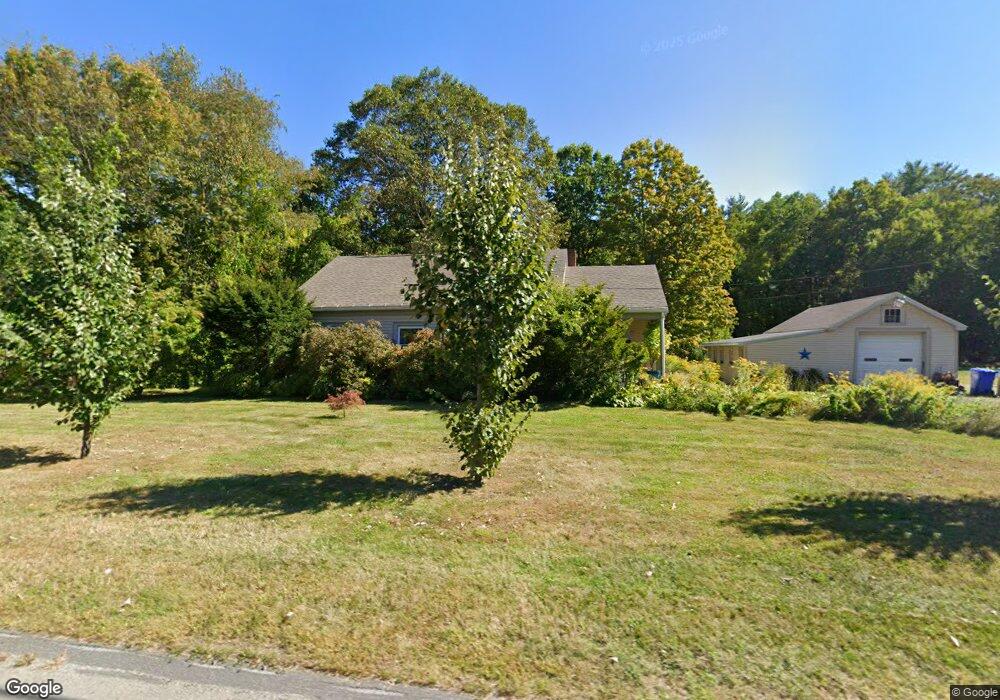
1062 Westhampton Rd Florence, MA 01062
Florence NeighborhoodEstimated Value: $366,000 - $454,000
2
Beds
1
Bath
1,224
Sq Ft
$331/Sq Ft
Est. Value
About This Home
This home is located at 1062 Westhampton Rd, Florence, MA 01062 and is currently estimated at $405,294, approximately $331 per square foot. 1062 Westhampton Rd is a home located in Hampshire County with nearby schools including Northampton High School, Calvary Baptist Christian School, and The Williston Northampton School.
Ownership History
Date
Name
Owned For
Owner Type
Purchase Details
Closed on
Mar 2, 2017
Sold by
Simeon-Reif Walter and Ealum-Rief Pernecia
Bought by
Ealum-Rief Pernecia
Current Estimated Value
Purchase Details
Closed on
Oct 30, 1992
Sold by
Adams Barbara J and Adams Morris F
Bought by
Ealum Pernecia Inez and Reif Walter Simeon
Purchase Details
Closed on
Jun 17, 1988
Sold by
Adams Morris F
Bought by
Adams Morris F
Create a Home Valuation Report for This Property
The Home Valuation Report is an in-depth analysis detailing your home's value as well as a comparison with similar homes in the area
Home Values in the Area
Average Home Value in this Area
Purchase History
| Date | Buyer | Sale Price | Title Company |
|---|---|---|---|
| Ealum-Rief Pernecia | -- | -- | |
| Ealum Pernecia Inez | $100,000 | -- | |
| Adams Morris F | $55,000 | -- |
Source: Public Records
Mortgage History
| Date | Status | Borrower | Loan Amount |
|---|---|---|---|
| Previous Owner | Adams Morris F | $45,000 | |
| Previous Owner | Adams Morris F | $104,000 | |
| Previous Owner | Adams Morris F | $20,000 |
Source: Public Records
Tax History
| Year | Tax Paid | Tax Assessment Tax Assessment Total Assessment is a certain percentage of the fair market value that is determined by local assessors to be the total taxable value of land and additions on the property. | Land | Improvement |
|---|---|---|---|---|
| 2025 | $4,952 | $355,500 | $102,700 | $252,800 |
| 2024 | $5,426 | $357,200 | $98,500 | $258,700 |
| 2023 | $4,380 | $276,500 | $89,100 | $187,400 |
| 2022 | $4,487 | $250,800 | $84,000 | $166,800 |
| 2021 | $3,835 | $220,800 | $80,500 | $140,300 |
| 2020 | $3,709 | $220,800 | $80,500 | $140,300 |
| 2019 | $3,747 | $215,700 | $83,100 | $132,600 |
| 2018 | $3,495 | $205,100 | $83,100 | $122,000 |
| 2017 | $3,423 | $205,100 | $83,100 | $122,000 |
| 2016 | $3,314 | $205,100 | $83,100 | $122,000 |
| 2015 | $3,498 | $221,400 | $98,300 | $123,100 |
| 2014 | $3,407 | $221,400 | $98,300 | $123,100 |
Source: Public Records
Map
Nearby Homes
- 892 Westhampton Rd
- 832 Westhampton Rd
- 0 W Farms Rd
- 1260 Westhampton Rd
- 1 Ashley Cir
- 36 Torrey St
- 18 Nicols Way Unit 18
- 98 Park Hill Rd
- 75 Lead Mine Rd
- 404 Sylvester Rd
- 20-11 Sylvester Rd
- 723 Lot B Ryan Rd
- 815 Burts Pit Rd
- 87 Southampton Rd
- 131 West St Unit 131
- 296 Ryan Rd Unit A
- 296 Ryan Rd
- 296 Ryan Rd Unit B
- 72 Emerson Way
- 967 Florence Rd
- 1060 Westhampton Rd
- 1036 Westhampton Rd
- 1095 Westhampton Rd
- 29 Brisson Dr
- 38 Brisson Dr
- 1024 Westhampton Rd
- 1023 Westhampton Rd
- 1075 Westhampton Rd
- 21 Brisson Dr
- 30 Brisson Dr
- 1015 Westhampton Rd
- 103 Glendale Rd
- 22 Brisson Dr
- 11 Brisson Dr
- 109 Glendale Rd
- 1008 Westhampton Rd
- 67 Glendale Rd
- 61 Glendale Rd
- 45 Glendale Rd
- 35 Glendale Rd
Your Personal Tour Guide
Ask me questions while you tour the home.