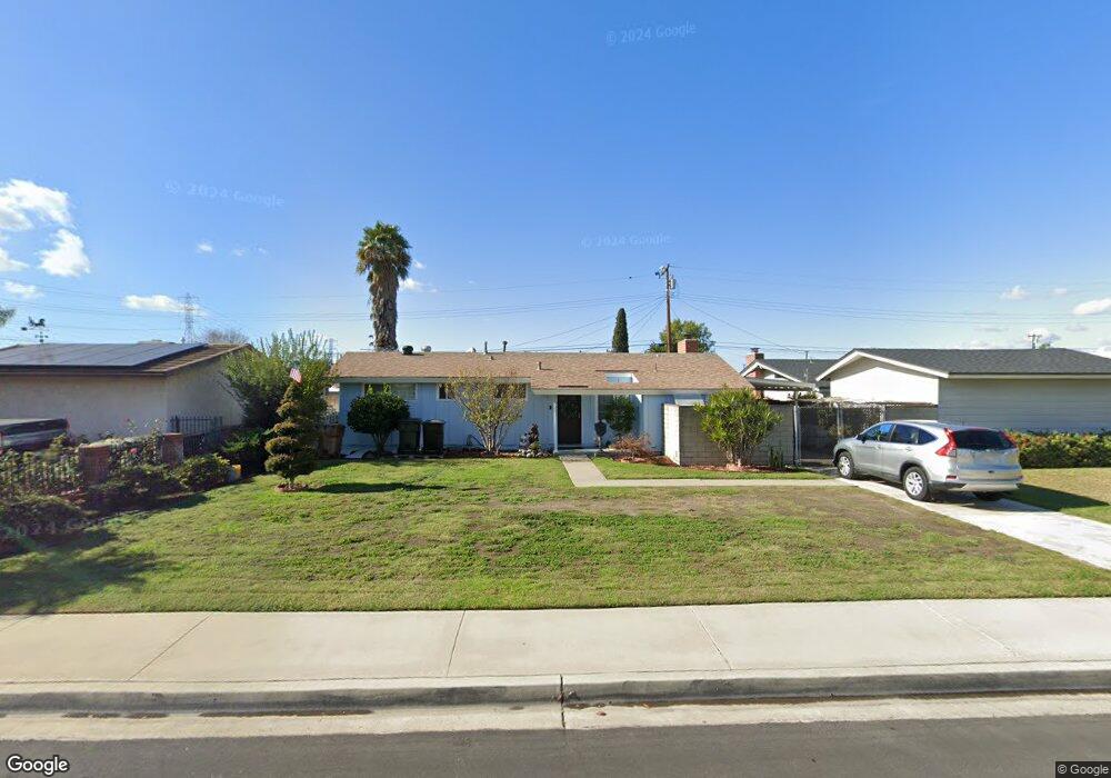
10621 Hedlund Dr Anaheim, CA 92804
West Anaheim NeighborhoodEstimated Value: $899,296 - $1,106,000
4
Beds
2
Baths
1,492
Sq Ft
$657/Sq Ft
Est. Value
About This Home
This home is located at 10621 Hedlund Dr, Anaheim, CA 92804 and is currently estimated at $980,324, approximately $657 per square foot. 10621 Hedlund Dr is a home located in Orange County with nearby schools including Jonas E. Salk Elementary School, Dale Jr High School, and Magnolia High.
Ownership History
Date
Name
Owned For
Owner Type
Purchase Details
Closed on
Mar 23, 2013
Sold by
Mauck William F
Bought by
Mauck William Farley and Mauck Kim Tran
Current Estimated Value
Purchase Details
Closed on
Aug 23, 2012
Sold by
Mauck William F
Bought by
Mauck William F
Purchase Details
Closed on
Dec 26, 1998
Sold by
Mauck William F
Bought by
Mauck William F and Mauck Family Revocable Living Trust
Create a Home Valuation Report for This Property
The Home Valuation Report is an in-depth analysis detailing your home's value as well as a comparison with similar homes in the area
Home Values in the Area
Average Home Value in this Area
Purchase History
| Date | Buyer | Sale Price | Title Company |
|---|---|---|---|
| Mauck William Farley | -- | None Available | |
| Mauck William F | -- | None Available | |
| Mauck William F | -- | -- |
Source: Public Records
Tax History Compared to Growth
Tax History
| Year | Tax Paid | Tax Assessment Tax Assessment Total Assessment is a certain percentage of the fair market value that is determined by local assessors to be the total taxable value of land and additions on the property. | Land | Improvement |
|---|---|---|---|---|
| 2025 | $1,156 | $66,190 | $29,896 | $36,294 |
| 2024 | $1,156 | $64,893 | $29,310 | $35,583 |
| 2023 | $1,130 | $63,621 | $28,735 | $34,886 |
| 2022 | $1,119 | $62,374 | $28,172 | $34,202 |
| 2021 | $1,192 | $61,151 | $27,619 | $33,532 |
| 2020 | $1,099 | $60,524 | $27,335 | $33,189 |
| 2019 | $1,081 | $59,338 | $26,799 | $32,539 |
| 2018 | $1,074 | $58,175 | $26,274 | $31,901 |
| 2017 | $1,040 | $57,035 | $25,759 | $31,276 |
| 2016 | $1,034 | $55,917 | $25,254 | $30,663 |
| 2015 | $1,024 | $55,078 | $24,875 | $30,203 |
| 2014 | $971 | $54,000 | $24,388 | $29,612 |
Source: Public Records
Map
Nearby Homes
- 1765 S Biscayne Ct
- 9592 Katella Ave
- 10301 Rhiems Rd
- 10301 Antigua St
- 9272 Cerritos Ave
- 1737 S Garden Dr
- 9881 Aldgate Ave
- 9762 Gamble Ave
- 9155 Pacific Ave Unit 265
- 90093 Stacie Ln
- 10112 Becca Dr
- 9552 Dewey Dr
- 1350 S Ashington Ln
- 9041 Stacie Ln Unit 12
- 2011 W Katella Ave Unit 61
- 1944 W Lullaby Ln
- 9751 Oma Place
- 1250 S Brookhurst St Unit 1059
- 1250 S Brookhurst St Unit 2028
- 1250 S Brookhurst St Unit 2080
- 10611 Hedlund Dr
- 10631 Hedlund Dr
- 10622 Thomas Dr
- 10601 Hedlund Dr
- 10651 Hedlund Dr
- 10612 Thomas Dr
- 10632 Thomas Dr
- 10602 Thomas Dr
- 10652 Thomas Dr
- 10622 Hedlund Dr
- 10591 Hedlund Dr
- 9691 Pacific Ave
- 10632 Hedlund Dr
- 10612 Hedlund Dr
- 10652 Hedlund Dr
- 10602 Hedlund Dr
- 10662 Thomas Dr
- 10592 Thomas Dr
- 10581 Hedlund Dr
- 9721 Pacific Ave