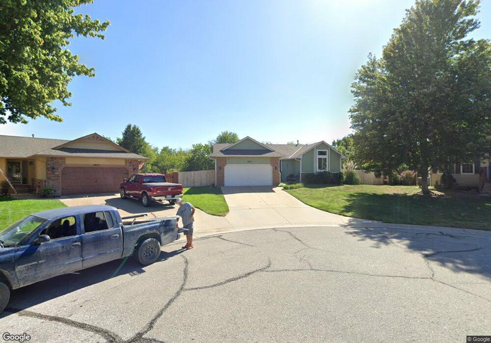
10627 W Harvest Ct Wichita, KS 67212
Far West Wichita NeighborhoodEstimated Value: $270,000 - $281,338
4
Beds
3
Baths
2,119
Sq Ft
$130/Sq Ft
Est. Value
About This Home
This home is located at 10627 W Harvest Ct, Wichita, KS 67212 and is currently estimated at $275,669, approximately $130 per square foot. 10627 W Harvest Ct is a home located in Sedgwick County with nearby schools including McCollom Elementary School, Wilbur Middle School, and Wichita Northwest High School.
Ownership History
Date
Name
Owned For
Owner Type
Purchase Details
Closed on
Nov 24, 2009
Sold by
Osborn Kevin D and Osborn Michelle J
Bought by
Norris Duke D and Norris Angela R
Current Estimated Value
Home Financials for this Owner
Home Financials are based on the most recent Mortgage that was taken out on this home.
Original Mortgage
$152,093
Outstanding Balance
$99,661
Interest Rate
4.99%
Mortgage Type
FHA
Estimated Equity
$176,008
Purchase Details
Closed on
Feb 28, 2007
Sold by
The First United Methodist Church Of Wic
Bought by
Osborn Kevin D and Osborn Michelle J
Home Financials for this Owner
Home Financials are based on the most recent Mortgage that was taken out on this home.
Original Mortgage
$104,000
Interest Rate
6.21%
Mortgage Type
New Conventional
Create a Home Valuation Report for This Property
The Home Valuation Report is an in-depth analysis detailing your home's value as well as a comparison with similar homes in the area
Home Values in the Area
Average Home Value in this Area
Purchase History
| Date | Buyer | Sale Price | Title Company |
|---|---|---|---|
| Norris Duke D | -- | Sec 1St | |
| Osborn Kevin D | -- | None Available |
Source: Public Records
Mortgage History
| Date | Status | Borrower | Loan Amount |
|---|---|---|---|
| Open | Norris Duke D | $152,093 | |
| Previous Owner | Osborn Kevin D | $104,000 |
Source: Public Records
Tax History Compared to Growth
Tax History
| Year | Tax Paid | Tax Assessment Tax Assessment Total Assessment is a certain percentage of the fair market value that is determined by local assessors to be the total taxable value of land and additions on the property. | Land | Improvement |
|---|---|---|---|---|
| 2025 | $2,709 | $27,152 | $6,107 | $21,045 |
| 2024 | $2,709 | $25,140 | $4,681 | $20,459 |
| 2023 | $2,709 | $25,140 | $4,681 | $20,459 |
| 2022 | $2,605 | $23,357 | $4,416 | $18,941 |
| 2021 | $2,545 | $22,242 | $2,910 | $19,332 |
| 2020 | $2,385 | $20,781 | $2,910 | $17,871 |
| 2019 | $2,295 | $19,976 | $2,910 | $17,066 |
| 2018 | $2,211 | $19,206 | $2,749 | $16,457 |
| 2017 | $2,066 | $0 | $0 | $0 |
| 2016 | $2,001 | $0 | $0 | $0 |
| 2015 | $1,986 | $0 | $0 | $0 |
| 2014 | $1,946 | $0 | $0 | $0 |
Source: Public Records
Map
Nearby Homes
- 10701 W Harvest Ct
- 1106 N Lark Ln
- 1109 N Lark Ln
- 10726 W Ponderosa Cir
- 1102 N Prescott Cir
- 1138 N Chipper Ln
- 860 N Valleyview St
- 11110 W Central Ave
- 9801 W 12th St N
- 9804 W 12th St N
- 11005 W Taylor Cir
- 11710 W Lost Creek Ct
- 1544 N Westgate St
- 810 N Parkridge St
- 1350 N Cardington St
- 11218 W Taylor St
- 827 N Westlink Ave
- 11725 W Alderny Ct
- 1534 N Valleyview Ct
- 11841 W Alderny Ct
- 10623 W Harvest Ct
- 10629 W Harvest Ct
- 10635 W Harvest Ct
- 10619 W Harvest Ct
- 10615 W Harvest Ct
- 10639 W Harvest Ct
- 10717 W Harvest Ct
- 10713 W Harvest Ct
- 10709 W Harvest Ct
- 10611 W Harvest Ct
- 10643 W Harvest Ct
- 10529 W Harvest Ct
- 10705 W Harvest Ct
- 10533 W Harvest Ct
- 10721 W Harvest Ct
- 10607 W Harvest Ct
- 10647 W Harvest Ct
- 10537 W Harvest Ct
- 10525 W Harvest Ct
- 10725 W Harvest Ct