Estimated Value: $417,000 - $712,000
3
Beds
1
Bath
1,387
Sq Ft
$400/Sq Ft
Est. Value
About This Home
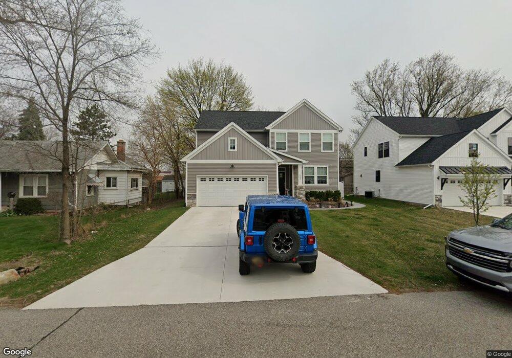
This home is located at 1063 Boyd St Unit Bldg-Unit, Troy, MI 48083 and is currently estimated at $554,345, approximately $399 per square foot. 1063 Boyd St Unit Bldg-Unit is a home located in Oakland County with nearby schools including Wattles Elementary School, Baker Middle School, and Athens High School.
Ownership History
Date
Name
Owned For
Owner Type
Purchase Details
Closed on
Aug 31, 2023
Sold by
Karagatsoulis Panageotes
Bought by
Haso Waleed
Current Estimated Value
Home Financials for this Owner
Home Financials are based on the most recent Mortgage that was taken out on this home.
Original Mortgage
$402,500
Outstanding Balance
$392,826
Interest Rate
7.18%
Estimated Equity
$161,519
Purchase Details
Closed on
Jun 15, 2021
Sold by
Sheriff Of Oakland County
Bought by
Karagatsoulis Panageotes
Purchase Details
Closed on
Jan 31, 2018
Sold by
Serafin Carol and Corey David
Bought by
Troy Market Homes Llc
Purchase Details
Closed on
Sep 14, 2017
Sold by
Corey John Robin
Bought by
Corey John Robin
Purchase Details
Closed on
Mar 30, 1998
Sold by
Corey David Brent
Bought by
Corey John Robin
Purchase Details
Closed on
Jan 23, 1998
Sold by
Corey Floyd Gilbert
Bought by
Serafin Carol Ann
Create a Home Valuation Report for This Property
The Home Valuation Report is an in-depth analysis detailing your home's value as well as a comparison with similar homes in the area
Home Values in the Area
Average Home Value in this Area
Purchase History
| Date | Buyer | Sale Price | Title Company |
|---|---|---|---|
| Haso Waleed | $575,000 | Interstate Title | |
| Karagatsoulis Panageotes | $128,058 | None Listed On Document | |
| Troy Market Homes Llc | $180,000 | Partners Title Agency Llc | |
| Corey John Robin | -- | None Available | |
| Corey John Robin | -- | -- | |
| Serafin Carol Ann | -- | -- |
Source: Public Records
Mortgage History
| Date | Status | Borrower | Loan Amount |
|---|---|---|---|
| Open | Haso Waleed | $402,500 |
Source: Public Records
Tax History
| Year | Tax Paid | Tax Assessment Tax Assessment Total Assessment is a certain percentage of the fair market value that is determined by local assessors to be the total taxable value of land and additions on the property. | Land | Improvement |
|---|---|---|---|---|
| 2022 | $11,131 | $94,040 | $0 | $0 |
| 2015 | $4,546 | $61,710 | $0 | $0 |
| 2014 | -- | $56,140 | $0 | $0 |
| 2011 | -- | $54,060 | $0 | $0 |
Source: Public Records
Map
Nearby Homes
- 1125 Hartland Dr
- 1152 Faulkner
- 1095 Beaver Run
- 871 Vanderpool Dr
- 968 Trombley Dr
- 3649 Wakefield Dr
- 3438 Harmony Dr
- 1580 Crimson Dr
- 556 Trombley Dr
- 3443 Ellenboro Dr
- 3076 Kilmer Dr
- 1711 Crestline Dr
- 365 Hartland Dr
- 2099 Mary Ann Dr
- 3941 Capstan Ct
- 3929 Capstan Ct
- 3930 Capstan Ct
- 3989 Capstan Ct
- 1831 N Lake Dr
- 3122 Frankton Ave
Your Personal Tour Guide
Ask me questions while you tour the home.