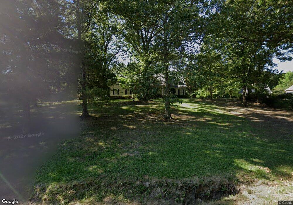
1063 Morrow Crest Dr Hernando, MS 38632
Estimated Value: $416,233 - $464,000
3
Beds
--
Bath
3,178
Sq Ft
$140/Sq Ft
Est. Value
About This Home
This home is located at 1063 Morrow Crest Dr, Hernando, MS 38632 and is currently estimated at $444,558, approximately $139 per square foot. 1063 Morrow Crest Dr is a home located in DeSoto County with nearby schools including Oak Grove Central Elementary School, Hernando Elementary School, and Hernando Hills Elementary.
Ownership History
Date
Name
Owned For
Owner Type
Purchase Details
Closed on
Nov 5, 2013
Sold by
Fondren Dennis W and Fondren Martha H
Bought by
Fondren Martha H
Current Estimated Value
Create a Home Valuation Report for This Property
The Home Valuation Report is an in-depth analysis detailing your home's value as well as a comparison with similar homes in the area
Home Values in the Area
Average Home Value in this Area
Purchase History
| Date | Buyer | Sale Price | Title Company |
|---|---|---|---|
| Fondren Martha H | -- | None Available |
Source: Public Records
Tax History
| Year | Tax Paid | Tax Assessment Tax Assessment Total Assessment is a certain percentage of the fair market value that is determined by local assessors to be the total taxable value of land and additions on the property. | Land | Improvement |
|---|---|---|---|---|
| 2025 | $1,233 | $22,271 | $3,500 | $18,771 |
| 2024 | $1,927 | $22,271 | $3,500 | $18,771 |
| 2023 | $1,927 | $22,271 | $0 | $0 |
| 2022 | $1,927 | $22,271 | $3,500 | $18,771 |
| 2021 | $1,927 | $22,271 | $3,500 | $18,771 |
| 2020 | $1,776 | $20,768 | $0 | $0 |
| 2019 | $1,776 | $20,768 | $3,500 | $17,268 |
| 2017 | $1,796 | $38,122 | $20,811 | $17,311 |
| 2016 | $1,796 | $20,811 | $3,500 | $17,311 |
| 2015 | $2,096 | $38,122 | $20,811 | $17,311 |
| 2014 | $1,796 | $20,811 | $0 | $0 |
| 2013 | $1,992 | $20,811 | $0 | $0 |
Source: Public Records
Map
Nearby Homes
- 732 Shadow View Dr
- 1123 Peggy Cove
- 1107 Sabrina Dr
- 0 S Old Hwy 51 Unit 4105246
- 193 Crockett Loop E
- 1207 Howell Way
- 470 Beacon Hill Dr
- 521 Abey Ln
- 509 Howell Way
- 1767 Robertson Place Dr
- 5157 U S 51
- 5153 U S 51
- 5163 U S 51
- 5135 U S 51
- 5147 U S 51
- 5167 U S 51
- 5093 U S 51
- 1770 Robertson Place Dr
- 148 Forked Creek Pkwy
- 270 Gaslight Cove
- 1091 Morrow Crest Dr
- 1045 Morrow Crest Dr
- 7 Morrow Crest Dr
- 22 Morrow Crest Dr
- 1113 Morrow Crest Dr
- 1007 Morrow Crest Dr
- 1070 Morrow Crest Dr
- 1094 Morrow Crest Dr
- 1120 Morrow Crest Dr
- 1050 Morrow Crest Dr
- 985 Morrow Crest Dr
- 988 Morrow Crest Dr
- 1141 Morrow Crest Dr
- 1098 Robertson Rd
- 1151 Morrow Crest Dr
- 1150 Morrow Crest Dr
- 942 Morrow Crest Dr
- 902 Robertson Rd
- 1163 Morrow Crest Dr
Your Personal Tour Guide
Ask me questions while you tour the home.