1063 Regent St Braham, MN 55006
Estimated Value: $89,000 - $234,632
--
Bed
--
Bath
--
Sq Ft
23.75
Acres
About This Home
This home is located at 1063 Regent St, Braham, MN 55006 and is currently estimated at $177,158. 1063 Regent St is a home with nearby schools including Braham Elementary School, Braham Area High School, and Grace Christian School.
Ownership History
Date
Name
Owned For
Owner Type
Purchase Details
Closed on
Mar 18, 2022
Sold by
Lucht and Lisa
Bought by
Cegla Tony B and Cegla Tracy
Current Estimated Value
Purchase Details
Closed on
Sep 14, 2018
Sold by
Schusted David and Schusted Sharalyn
Bought by
Cegla Tony B and Cegla Tracy
Home Financials for this Owner
Home Financials are based on the most recent Mortgage that was taken out on this home.
Original Mortgage
$60,000
Interest Rate
4.5%
Create a Home Valuation Report for This Property
The Home Valuation Report is an in-depth analysis detailing your home's value as well as a comparison with similar homes in the area
Home Values in the Area
Average Home Value in this Area
Purchase History
| Date | Buyer | Sale Price | Title Company |
|---|---|---|---|
| Cegla Tony B | -- | None Listed On Document | |
| Cegla Tony B | $12,500 | None Available |
Source: Public Records
Mortgage History
| Date | Status | Borrower | Loan Amount |
|---|---|---|---|
| Previous Owner | Cegla Tony B | $60,000 |
Source: Public Records
Tax History Compared to Growth
Tax History
| Year | Tax Paid | Tax Assessment Tax Assessment Total Assessment is a certain percentage of the fair market value that is determined by local assessors to be the total taxable value of land and additions on the property. | Land | Improvement |
|---|---|---|---|---|
| 2025 | $1,600 | $146,400 | $84,500 | $61,900 |
| 2024 | $1,398 | $133,900 | $82,200 | $51,700 |
| 2023 | $1,398 | $124,100 | $82,200 | $41,900 |
| 2022 | $992 | $69,200 | $27,300 | $41,900 |
| 2021 | $1,006 | $55,800 | $23,800 | $32,000 |
| 2020 | $390 | $54,700 | $22,500 | $32,200 |
| 2018 | $284 | $21,300 | $21,300 | $0 |
| 2017 | $294 | $21,800 | $21,800 | $0 |
| 2016 | $244 | $19,900 | $19,900 | $0 |
| 2015 | $312 | $17,300 | $17,300 | $0 |
| 2013 | $312 | $18,800 | $18,800 | $0 |
Source: Public Records
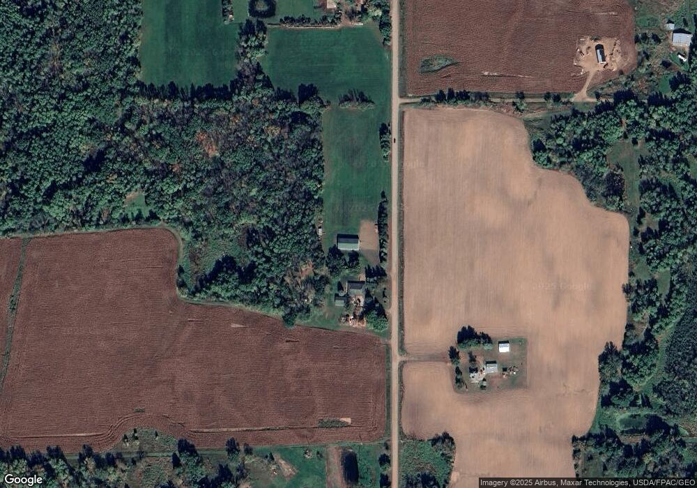
Map
Nearby Homes
- XXX Hawthorne Ave N
- 1xx Central Dr E
- 316 Cherry Ave N
- 307 4th St NW
- 315 4th St NW
- 203 Appaloosa Ct
- 209 Appaloosa Ct
- 217 Appaloosa Ct
- 215 Appaloosa Ct
- 219 Appaloosa Ct
- 213 Appaloosa Ct
- 211 Appaloosa Ct
- 1001 Lincoln Cir
- 1005 Lincoln Cir
- 1108 N Lake Dr W
- 40525 Highway 65 NE
- 51452 Basswood Rd W
- TBD Nightingale St
- Nightingale St
- TBD Minnesota 65
- 1059 Regent St
- 1056 Regent St
- 1079 Regent St
- XXX Regent St
- 1033 Regent St
- 1032 Regent St
- 1067 Highway 107
- 1102 Regent St
- 1102 Quarter St
- 2734 112th Ave
- 0 Xxx Hupp St NE
- XXX Hupp St NE
- 1074 Quarter St
- 1086 Quarter St
- 528 Eastgate Ave N
- 2762 112th Ave
- 1139 Regent St
- XXX3 Highway 107
- X Hupp
- 1081 Quarter St