1063 Route 120 Meriden, NH 03770
Estimated Value: $744,000 - $873,597
3
Beds
3
Baths
3,689
Sq Ft
$219/Sq Ft
Est. Value
About This Home
This home is located at 1063 Route 120, Meriden, NH 03770 and is currently estimated at $809,149, approximately $219 per square foot. 1063 Route 120 is a home located in Sullivan County with nearby schools including Plainfield Elementary School, Lebanon High School, and Kimball Union Academy.
Ownership History
Date
Name
Owned For
Owner Type
Purchase Details
Closed on
Nov 17, 2022
Sold by
Burnham Christopher J and Russo Melinda S
Bought by
Burnham Russo T
Current Estimated Value
Purchase Details
Closed on
Sep 6, 2022
Sold by
Russo David P and Russo Susan B
Bought by
Burnham Christopher J and Russo Melinda S
Home Financials for this Owner
Home Financials are based on the most recent Mortgage that was taken out on this home.
Original Mortgage
$487,500
Interest Rate
5.3%
Mortgage Type
Purchase Money Mortgage
Purchase Details
Closed on
Jan 10, 2020
Sold by
Odonnell John M and Vargo Kathryn M
Bought by
Russo David P and Russo Susan
Create a Home Valuation Report for This Property
The Home Valuation Report is an in-depth analysis detailing your home's value as well as a comparison with similar homes in the area
Home Values in the Area
Average Home Value in this Area
Purchase History
| Date | Buyer | Sale Price | Title Company |
|---|---|---|---|
| Burnham Russo T | -- | None Available | |
| Burnham Christopher J | $650,000 | None Available | |
| Russo David P | -- | None Available |
Source: Public Records
Mortgage History
| Date | Status | Borrower | Loan Amount |
|---|---|---|---|
| Previous Owner | Burnham Christopher J | $487,500 |
Source: Public Records
Tax History Compared to Growth
Tax History
| Year | Tax Paid | Tax Assessment Tax Assessment Total Assessment is a certain percentage of the fair market value that is determined by local assessors to be the total taxable value of land and additions on the property. | Land | Improvement |
|---|---|---|---|---|
| 2023 | $11,573 | $734,781 | $153,881 | $580,900 |
| 2022 | $11,343 | $455,553 | $87,153 | $368,400 |
| 2021 | $12,021 | $452,787 | $87,387 | $365,400 |
| 2020 | $11,508 | $453,077 | $87,677 | $365,400 |
| 2019 | $11,745 | $451,715 | $86,315 | $365,400 |
| 2018 | $12,151 | $451,715 | $86,315 | $365,400 |
| 2017 | $10,721 | $379,490 | $80,590 | $298,900 |
| 2016 | $10,758 | $379,460 | $80,560 | $298,900 |
| 2015 | $10,341 | $379,488 | $80,588 | $298,900 |
| 2014 | $10,436 | $379,497 | $80,597 | $298,900 |
| 2013 | $10,436 | $379,508 | $90,100 | $289,408 |
Source: Public Records
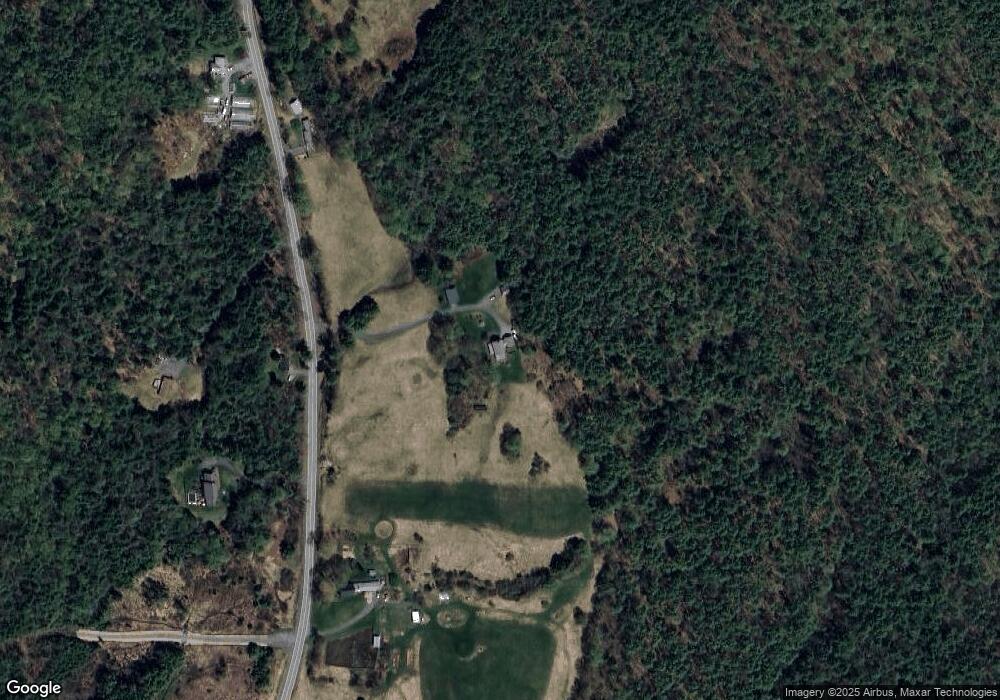
Map
Nearby Homes
- 992 Route 120
- 0 Camp Rd Unit 7
- 22 King Dr
- 282 Penniman Rd
- 1041 Stage Rd
- 45 East Rd
- 286 Ladieu Rd
- 00 Willow Brook Rd
- Lot 73A & 74A East Rd
- 672 New Hampshire 120
- 0 Route 120 Route Unit 5045664
- 846 New Hampshire 12a
- 1118 New Hampshire 12a
- 149 Old County Rd
- 00 Nh Route 12a Unit 7
- 161 Saint Gaudens Rd
- 729 Olde Farm Rd
- 442 Olde Farms Rd
- 1507 Route 12a
- 466 Parsonage Rd
- 0 Route 120
- 0 Route 120
- 0 Route 120
- 0 Route 120
- 0 Route 120
- 0 Route 120
- 0 Route 120
- 1068 Us 120 Route
- 1068 New Hampshire 120
- 1068 Route 120
- 00 Route 120 Unit LOT B
- 00 Route 120 Unit LOT A
- 00 Route 120
- 1059 Route 120
- 1059 New Hampshire 120
- 1151 Route 120
- 1059 Route 120
- 1100 Route 120
- 1046 Route 120
- 1 Cross Rd