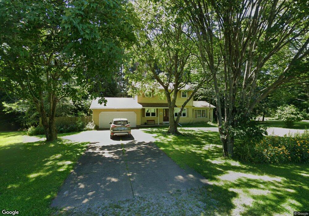
10630 Old Route 99 Mc Kean, PA 16426
Estimated Value: $218,000 - $291,000
4
Beds
2
Baths
1,760
Sq Ft
$149/Sq Ft
Est. Value
About This Home
This home is located at 10630 Old Route 99, Mc Kean, PA 16426 and is currently estimated at $262,018, approximately $148 per square foot. 10630 Old Route 99 is a home located in Erie County with nearby schools including McKean Elementary School, James W. Parker Middle School, and General McLane High School.
Ownership History
Date
Name
Owned For
Owner Type
Purchase Details
Closed on
Aug 5, 2014
Sold by
Marcinko Stevan N and Marcinko Debbe
Bought by
Marcinko Stevan N
Current Estimated Value
Home Financials for this Owner
Home Financials are based on the most recent Mortgage that was taken out on this home.
Original Mortgage
$88,500
Interest Rate
4.12%
Mortgage Type
New Conventional
Create a Home Valuation Report for This Property
The Home Valuation Report is an in-depth analysis detailing your home's value as well as a comparison with similar homes in the area
Home Values in the Area
Average Home Value in this Area
Purchase History
| Date | Buyer | Sale Price | Title Company |
|---|---|---|---|
| Marcinko Stevan N | -- | None Available |
Source: Public Records
Mortgage History
| Date | Status | Borrower | Loan Amount |
|---|---|---|---|
| Closed | Marcinko Stevan N | $88,500 |
Source: Public Records
Tax History Compared to Growth
Tax History
| Year | Tax Paid | Tax Assessment Tax Assessment Total Assessment is a certain percentage of the fair market value that is determined by local assessors to be the total taxable value of land and additions on the property. | Land | Improvement |
|---|---|---|---|---|
| 2025 | $3,558 | $155,910 | $36,700 | $119,210 |
| 2024 | $3,446 | $155,910 | $36,700 | $119,210 |
| 2023 | $3,243 | $155,910 | $36,700 | $119,210 |
| 2022 | $3,149 | $155,910 | $36,700 | $119,210 |
| 2021 | $3,109 | $155,910 | $36,700 | $119,210 |
| 2020 | $3,070 | $155,910 | $36,700 | $119,210 |
| 2019 | $3,050 | $155,910 | $36,700 | $119,210 |
| 2018 | $2,984 | $155,910 | $36,700 | $119,210 |
| 2017 | $2,984 | $155,910 | $36,700 | $119,210 |
| 2016 | $3,544 | $155,910 | $36,700 | $119,210 |
| 2015 | $3,505 | $155,910 | $36,700 | $119,210 |
| 2014 | $1,693 | $155,910 | $36,700 | $119,210 |
Source: Public Records
Map
Nearby Homes
- 11060 Edinboro Rd
- 4919 Old State Rd
- 11261 Lay Rd
- 9731 Silverthorn Rd
- 702 Skyline Dr
- 0 Leacock Rd
- 209 Timberlake Dr
- 5115 West Rd
- 11897 Silverthorn (Tr 86 Rt T438) Rd
- TBD1 Silverthorn Rd
- 4954 East Ave
- 00 Silverthorn Rd
- 0 Edinboro Rd Unit 182375
- 0 Shenango Dr Unit 1
- 0 Shenango Dr
- 4055 Ponderosa Dr
- 4854 N Main St
- 12191 Skyview Dr
- 0 Sharp Rd Unit 185719
- 5489 Harold Dr
- 10640 Old Route 99
- 10620 Old Route 99
- 10621 Old Route 99
- 5030 Zessinger Rd
- 10601 Old Route 99
- 10711 Old Route 99
- 5091 Zessinger Rd
- 10721 Old Route 99
- 10741 Edinboro Rd
- 10710 Edinboro Rd
- 10751 Old Route 99
- 10721 Edinboro Rd
- 10621 Old Edinboro Rd
- 10771 Old Route 99
- 3950 Woodbriar Way
- 10475 Old Route 99
- 10475 Edinboro Rd
- 10539 Edinboro Rd
- 10459 Edinboro Rd
- 10459 Old Route 99