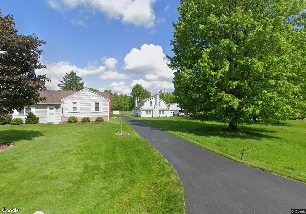
10631 Unity Rd New Middletown, OH 44442
Estimated Value: $184,553 - $362,000
3
Beds
1
Bath
1,661
Sq Ft
$152/Sq Ft
Est. Value
About This Home
This home is located at 10631 Unity Rd, New Middletown, OH 44442 and is currently estimated at $252,138, approximately $151 per square foot. 10631 Unity Rd is a home located in Mahoning County with nearby schools including Springfield Elementary School, Springfield Intermediate Middle School, and Springfield High School.
Ownership History
Date
Name
Owned For
Owner Type
Purchase Details
Closed on
Aug 30, 2023
Sold by
Palmer Richard J
Bought by
Annichenni Jeannie
Current Estimated Value
Purchase Details
Closed on
Apr 5, 2006
Sold by
Palmer Olive
Bought by
Palmer Richard John
Purchase Details
Closed on
Feb 28, 2003
Sold by
Olive Palmer
Bought by
Palmer Richard John
Purchase Details
Closed on
Dec 17, 1993
Bought by
Palmer Olive
Create a Home Valuation Report for This Property
The Home Valuation Report is an in-depth analysis detailing your home's value as well as a comparison with similar homes in the area
Purchase History
| Date | Buyer | Sale Price | Title Company |
|---|---|---|---|
| Annichenni Jeannie | -- | -- | |
| Palmer Richard John | -- | None Available | |
| Palmer Richard John | -- | -- | |
| Palmer Olive | -- | -- |
Source: Public Records
Tax History
| Year | Tax Paid | Tax Assessment Tax Assessment Total Assessment is a certain percentage of the fair market value that is determined by local assessors to be the total taxable value of land and additions on the property. | Land | Improvement |
|---|---|---|---|---|
| 2025 | $1,868 | $42,590 | $6,480 | $36,110 |
| 2024 | $1,719 | $42,590 | $6,480 | $36,110 |
| 2023 | $1,690 | $42,590 | $6,480 | $36,110 |
| 2022 | $1,591 | $35,970 | $6,480 | $29,490 |
| 2021 | $1,603 | $35,970 | $6,480 | $29,490 |
| 2020 | $1,612 | $35,970 | $6,480 | $29,490 |
| 2019 | $1,503 | $32,350 | $6,480 | $25,870 |
| 2018 | $1,485 | $32,350 | $6,480 | $25,870 |
| 2017 | $1,482 | $32,350 | $6,480 | $25,870 |
| 2016 | $1,534 | $33,110 | $5,080 | $28,030 |
| 2015 | $1,492 | $33,110 | $5,080 | $28,030 |
| 2014 | $1,499 | $33,110 | $5,080 | $28,030 |
| 2013 | $1,485 | $33,110 | $5,080 | $28,030 |
Source: Public Records
Map
Nearby Homes
- 4035 Shelly Lynn Dr
- 4025 Shelly Lynn Dr
- 170 Sandy Ct Unit 11
- 170 Sandy Ct Unit 7
- 10105 Carrie Ct
- 10115 Carrie Ct
- 12 Sandy Dr
- 9868 Unity Rd
- 46 Ohlin Dr
- 9663 Youngstown - Pittsburgh Rd
- 76 Stacy Dr
- 10725 Struthers Rd
- 4957 E Calla Rd
- 9825 Struthers Rd
- 9812 Deltona Dr
- 2621 Calla Rd E
- 5589 Middletown Rd E
- 5581 E Calla Rd
- 29 Shores Dr
- 31 Shores Dr
- 10613 Unity Rd
- 10505 Unity Rd
- 10677 Unity Rd
- 10681 Unity Rd
- 10642 Unity Rd
- 10674 Unity Rd
- 10574 Unity Rd
- 10710 Unity Rd
- 10556 Unity Rd
- 10739 Unity Rd
- 10540 Unity Rd
- 10513 Unity Rd
- 10570 Carrousel Woods Dr
- 10560 Carrousel Woods Dr
- 10550 Carrousel Woods Dr
- 10540 Carrousel Woods Dr
- 10530 Carrousel Woods Dr
- 10815 Unity Rd
- 10450 Unity Rd
- 10580 Carrousel Woods Dr
Your Personal Tour Guide
Ask me questions while you tour the home.