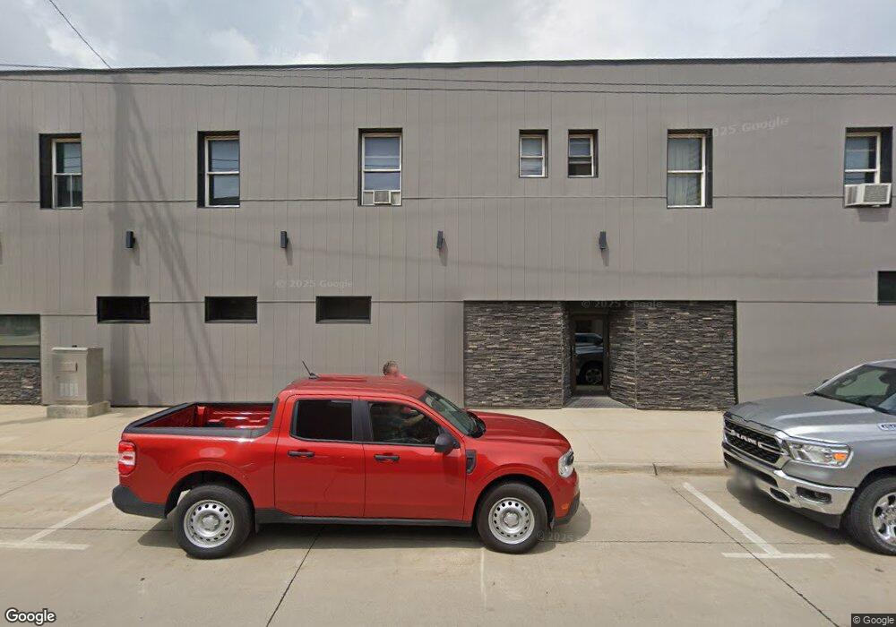
10637 Highway S45 Unit CO Iowa Falls, IA 50126
Estimated Value: $154,000 - $208,000
4
Beds
1
Bath
2,062
Sq Ft
$86/Sq Ft
Est. Value
About This Home
This home is located at 10637 Highway S45 Unit CO, Iowa Falls, IA 50126 and is currently estimated at $176,492, approximately $85 per square foot. 10637 Highway S45 Unit CO is a home located in Hardin County with nearby schools including Pineview Elementary School, Rock Run Elementary School, and Riverbend Middle School.
Ownership History
Date
Name
Owned For
Owner Type
Purchase Details
Closed on
Apr 19, 2024
Sold by
Lyman Kirk P and Lyman Wendy L
Bought by
Mitchell Robeoltman L and Robeoltman Sabrina S
Current Estimated Value
Home Financials for this Owner
Home Financials are based on the most recent Mortgage that was taken out on this home.
Original Mortgage
$128,000
Outstanding Balance
$125,871
Interest Rate
6.31%
Mortgage Type
New Conventional
Estimated Equity
$50,621
Create a Home Valuation Report for This Property
The Home Valuation Report is an in-depth analysis detailing your home's value as well as a comparison with similar homes in the area
Home Values in the Area
Average Home Value in this Area
Purchase History
| Date | Buyer | Sale Price | Title Company |
|---|---|---|---|
| Mitchell Robeoltman L | $160,000 | -- |
Source: Public Records
Mortgage History
| Date | Status | Borrower | Loan Amount |
|---|---|---|---|
| Open | Mitchell Robeoltman L | $128,000 |
Source: Public Records
Tax History Compared to Growth
Tax History
| Year | Tax Paid | Tax Assessment Tax Assessment Total Assessment is a certain percentage of the fair market value that is determined by local assessors to be the total taxable value of land and additions on the property. | Land | Improvement |
|---|---|---|---|---|
| 2025 | $1,148 | $109,570 | $25,200 | $84,370 |
| 2024 | $1,148 | $99,920 | $25,200 | $74,720 |
| 2023 | $1,098 | $99,920 | $25,200 | $74,720 |
| 2022 | $1,026 | $86,880 | $25,200 | $61,680 |
| 2021 | $1,026 | $85,980 | $25,200 | $60,780 |
| 2020 | $872 | $71,150 | $14,540 | $56,610 |
| 2019 | $772 | $71,150 | $0 | $0 |
| 2018 | $74 | $64,680 | $0 | $0 |
| 2017 | $1,100 | $58,800 | $0 | $0 |
| 2016 | $752 | $58,800 | $0 | $0 |
| 2015 | $774 | $58,800 | $0 | $0 |
| 2014 | $766 | $58,800 | $0 | $0 |
Source: Public Records
Map
Nearby Homes
- 718 Sherman St
- 116 W 2nd St
- 204 & 206 Elm St
- 1707 Crescent Dr
- 627 Depot St
- 26785 135th St
- 110 Rocksylvania Unit B01 Ave Unit B01
- 110 Rocksylvania Ave Unit 102
- 110 Rocksylvania Ave Unit multiple
- 110 Rocksylvania Ave Unit 101
- 110 Rocksylvania Ave Unit 202
- 110 Rocksylvania Ave
- 1620 River St
- 803 Oak St
- 715 N Oak St
- 1406 River St
- 1806 Custer St
- 516 Hickory St
- 1108 Willow Ln
- 605 Stevens St