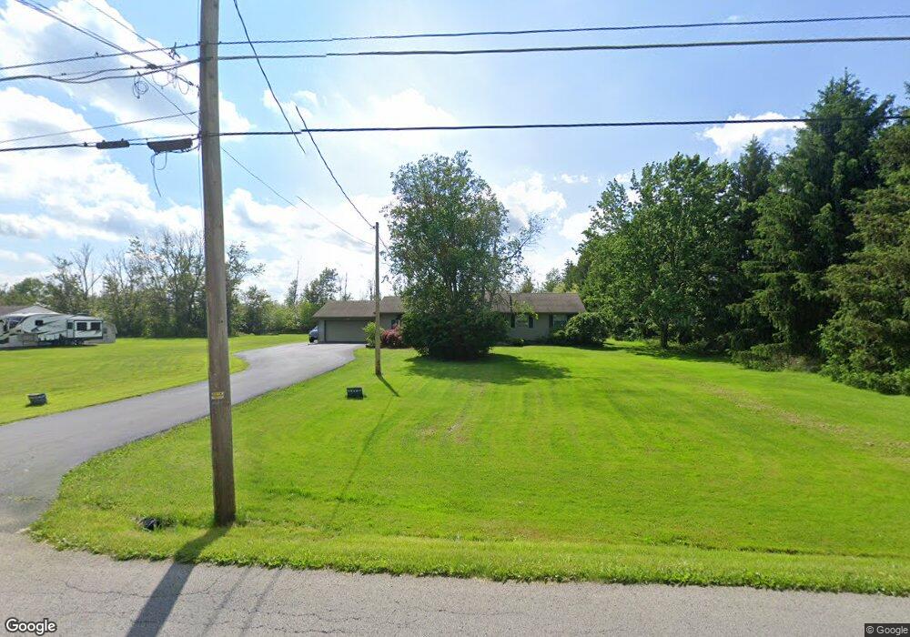
10642 Unity Rd New Middletown, OH 44442
Estimated Value: $218,000 - $260,000
3
Beds
2
Baths
1,428
Sq Ft
$172/Sq Ft
Est. Value
About This Home
This home is located at 10642 Unity Rd, New Middletown, OH 44442 and is currently estimated at $245,081, approximately $171 per square foot. 10642 Unity Rd is a home located in Mahoning County with nearby schools including Springfield Elementary School, Springfield Intermediate Middle School, and Springfield High School.
Ownership History
Date
Name
Owned For
Owner Type
Purchase Details
Closed on
May 22, 2017
Sold by
Bruner Land Company Inc
Bought by
Kimble Jessica R and Moddy Nathan M
Current Estimated Value
Home Financials for this Owner
Home Financials are based on the most recent Mortgage that was taken out on this home.
Original Mortgage
$44,400
Outstanding Balance
$36,485
Interest Rate
4.02%
Mortgage Type
Purchase Money Mortgage
Estimated Equity
$208,596
Purchase Details
Closed on
May 15, 1975
Bought by
Cannon Russell J and Cannon Jane A
Create a Home Valuation Report for This Property
The Home Valuation Report is an in-depth analysis detailing your home's value as well as a comparison with similar homes in the area
Purchase History
| Date | Buyer | Sale Price | Title Company |
|---|---|---|---|
| Kimble Jessica R | $48,900 | None Available | |
| Cannon Russell J | -- | -- |
Source: Public Records
Mortgage History
| Date | Status | Borrower | Loan Amount |
|---|---|---|---|
| Open | Kimble Jessica R | $44,400 |
Source: Public Records
Tax History
| Year | Tax Paid | Tax Assessment Tax Assessment Total Assessment is a certain percentage of the fair market value that is determined by local assessors to be the total taxable value of land and additions on the property. | Land | Improvement |
|---|---|---|---|---|
| 2025 | $2,811 | $64,030 | $9,780 | $54,250 |
| 2024 | $2,586 | $64,030 | $9,780 | $54,250 |
| 2023 | $2,543 | $64,030 | $9,780 | $54,250 |
| 2022 | $2,152 | $48,590 | $9,780 | $38,810 |
| 2021 | $2,168 | $48,590 | $9,780 | $38,810 |
| 2020 | $2,180 | $48,590 | $9,780 | $38,810 |
| 2019 | $2,038 | $43,820 | $9,780 | $34,040 |
| 2018 | $2,013 | $43,820 | $9,780 | $34,040 |
| 2017 | $2,010 | $43,820 | $9,780 | $34,040 |
| 2016 | $1,893 | $40,760 | $9,390 | $31,370 |
| 2015 | $1,842 | $40,760 | $9,390 | $31,370 |
| 2014 | $1,850 | $40,760 | $9,390 | $31,370 |
| 2013 | $1,833 | $40,760 | $9,390 | $31,370 |
Source: Public Records
Map
Nearby Homes
- 4035 Shelly Lynn Dr
- 4025 Shelly Lynn Dr
- 170 Sandy Ct Unit 11
- 170 Sandy Ct Unit 7
- 10105 Carrie Ct
- 10115 Carrie Ct
- 12 Sandy Dr
- 9868 Unity Rd
- 46 Ohlin Dr
- 9663 Youngstown - Pittsburgh Rd
- 76 Stacy Dr
- 10725 Struthers Rd
- 4957 E Calla Rd
- 9825 Struthers Rd
- 2621 Calla Rd E
- 9812 Deltona Dr
- 5589 Middletown Rd E
- 5581 E Calla Rd
- 29 Shores Dr
- 31 Shores Dr
- 10674 Unity Rd
- 10613 Unity Rd
- 10677 Unity Rd
- 10574 Unity Rd
- 10631 Unity Rd
- 10681 Unity Rd
- 10710 Unity Rd
- 10556 Unity Rd
- 10505 Unity Rd
- 10540 Unity Rd
- 10739 Unity Rd
- 10450 Unity Rd
- 10513 Unity Rd
- 10815 Unity Rd
- 10430 Unity Rd
- 10857 Unity Rd
- 10407 Unity Rd
- 10570 Carrousel Woods Dr
- 10465 Unity Rd
- 10874 Unity Rd
Your Personal Tour Guide
Ask me questions while you tour the home.