Estimated Value: $437,000 - $633,691
8
Beds
4
Baths
4,368
Sq Ft
$122/Sq Ft
Est. Value
About This Home
This home is located at 10644 Buboltz Rd, Cook, MN 55723 and is currently estimated at $533,173, approximately $122 per square foot. 10644 Buboltz Rd is a home with nearby schools including North Woods Elementary School.
Ownership History
Date
Name
Owned For
Owner Type
Purchase Details
Closed on
Mar 13, 2021
Sold by
Miller Harvey D and Miller Ida M
Bought by
Miller Harvey D and Miller Ida M
Current Estimated Value
Home Financials for this Owner
Home Financials are based on the most recent Mortgage that was taken out on this home.
Original Mortgage
$173,500
Outstanding Balance
$126,388
Interest Rate
2.19%
Mortgage Type
New Conventional
Estimated Equity
$406,785
Purchase Details
Closed on
Aug 10, 2004
Sold by
Zufall Retta
Bought by
Freyholtz Gene Edward and Freyholtz Paula R
Create a Home Valuation Report for This Property
The Home Valuation Report is an in-depth analysis detailing your home's value as well as a comparison with similar homes in the area
Home Values in the Area
Average Home Value in this Area
Purchase History
| Date | Buyer | Sale Price | Title Company |
|---|---|---|---|
| Miller Harvey D | -- | Avenue 365 Lender Svcs Llc | |
| Freyholtz Gene Edward | $108,400 | Consolidated Title & Abstrac |
Source: Public Records
Mortgage History
| Date | Status | Borrower | Loan Amount |
|---|---|---|---|
| Open | Miller Harvey D | $173,500 |
Source: Public Records
Tax History Compared to Growth
Tax History
| Year | Tax Paid | Tax Assessment Tax Assessment Total Assessment is a certain percentage of the fair market value that is determined by local assessors to be the total taxable value of land and additions on the property. | Land | Improvement |
|---|---|---|---|---|
| 2024 | $5,360 | $547,300 | $62,500 | $484,800 |
| 2023 | $5,360 | $513,400 | $52,800 | $460,600 |
| 2022 | $5,224 | $469,700 | $52,800 | $416,900 |
| 2021 | $3,954 | $421,800 | $48,700 | $373,100 |
| 2020 | $4,408 | $320,900 | $40,600 | $280,300 |
| 2019 | $4,122 | $345,100 | $39,300 | $305,800 |
| 2018 | $4,160 | $345,100 | $39,300 | $305,800 |
| 2017 | $3,808 | $345,000 | $39,200 | $305,800 |
| 2016 | $3,182 | $312,600 | $39,200 | $273,400 |
| 2015 | $3,361 | $275,400 | $38,600 | $236,800 |
| 2014 | $3,361 | $279,800 | $43,000 | $236,800 |
Source: Public Records
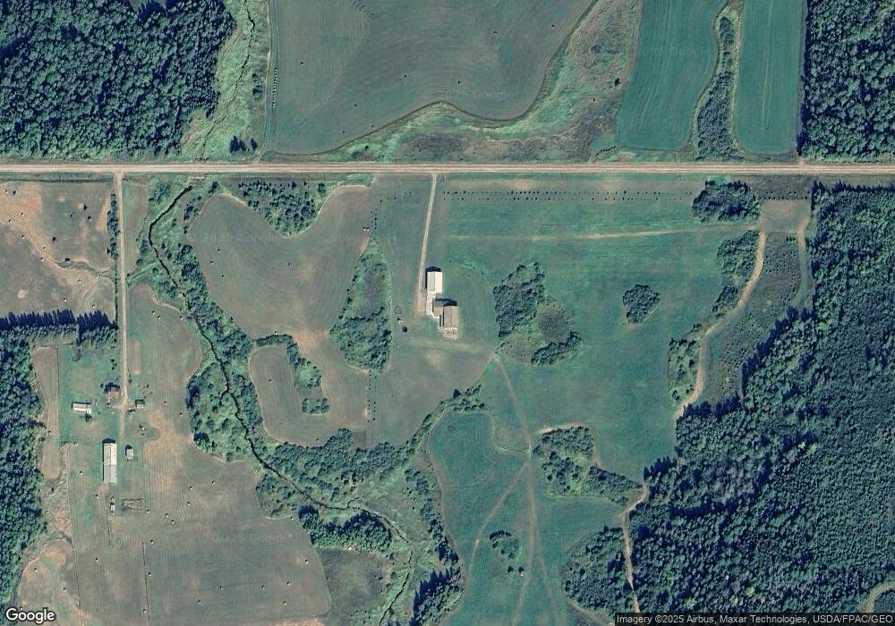
Map
Nearby Homes
- TBD LOT 2 W Riek Rd
- TBD LOT 1 W Riek Rd
- Fire#10899 Hwy 22
- Sec: 2 TWP: 61.0 RG:
- 9774 Wien Rd
- 8874 Highway 25
- 9401 Samuelson Rd
- 8800 Minnesota 73
- TBD Samuelson Road-Sec22
- TBD Leander Rd
- TBD Heino Rd
- TBD Samuelson Rd
- 411 S River St
- 9240 Murray Rd
- 322 S River St
- TBD- Parcel B Vermilion Dr
- TBD-Parcel A Vermilion Dr
- TBD Black Bay
- TBD Highway 53
- TBD Hwy 53