Estimated Value: $414,000
3
Beds
2
Baths
1,950
Sq Ft
$212/Sq Ft
Est. Value
About This Home
This home is located at 10645 Co Rd Kk-404, Ava, MO 65608 and is currently estimated at $414,000, approximately $212 per square foot. 10645 Co Rd Kk-404 is a home located in Douglas County with nearby schools including Ava Elementary School, Ava Middle School, and Ava High School.
Ownership History
Date
Name
Owned For
Owner Type
Purchase Details
Closed on
Jun 27, 2025
Sold by
Johnson John W
Bought by
Jeys Michael P and Jeys Lisa M
Current Estimated Value
Purchase Details
Closed on
Feb 6, 2024
Sold by
Peters Michael and Peters Kayla
Bought by
Mulford Douglas Todd and Mulford Juanita Irene
Home Financials for this Owner
Home Financials are based on the most recent Mortgage that was taken out on this home.
Original Mortgage
$432,923
Interest Rate
6.61%
Mortgage Type
VA
Purchase Details
Closed on
Feb 23, 2021
Sold by
Schmitt Kathy and Schmitt Kathryn A
Bought by
Peters Michael Allen and Peters Kayla Marie
Home Financials for this Owner
Home Financials are based on the most recent Mortgage that was taken out on this home.
Original Mortgage
$74,000
Interest Rate
2.73%
Mortgage Type
Future Advance Clause Open End Mortgage
Create a Home Valuation Report for This Property
The Home Valuation Report is an in-depth analysis detailing your home's value as well as a comparison with similar homes in the area
Home Values in the Area
Average Home Value in this Area
Purchase History
| Date | Buyer | Sale Price | Title Company |
|---|---|---|---|
| Jeys Michael P | -- | None Listed On Document | |
| Mulford Douglas Todd | -- | None Listed On Document | |
| Peters Michael Allen | -- | None Available |
Source: Public Records
Mortgage History
| Date | Status | Borrower | Loan Amount |
|---|---|---|---|
| Previous Owner | Mulford Douglas Todd | $432,923 | |
| Previous Owner | Peters Michael Allen | $74,000 |
Source: Public Records
Tax History Compared to Growth
Tax History
| Year | Tax Paid | Tax Assessment Tax Assessment Total Assessment is a certain percentage of the fair market value that is determined by local assessors to be the total taxable value of land and additions on the property. | Land | Improvement |
|---|---|---|---|---|
| 2025 | $1,005 | $31,810 | $3,100 | $28,710 |
| 2024 | $1,005 | $29,040 | $2,720 | $26,320 |
| 2023 | $1,001 | $29,040 | $2,720 | $26,320 |
| 2022 | $916 | $26,650 | $2,720 | $23,930 |
| 2021 | $846 | $26,650 | $2,720 | $23,930 |
| 2020 | $846 | $24,250 | $2,720 | $21,530 |
| 2019 | $848 | $24,250 | $2,720 | $21,530 |
| 2018 | $846 | $24,260 | $2,730 | $21,530 |
| 2017 | $845 | $24,260 | $2,730 | $21,530 |
| 2016 | $768 | $21,860 | $1,780 | $20,080 |
| 2012 | -- | $17,180 | $0 | $0 |
Source: Public Records
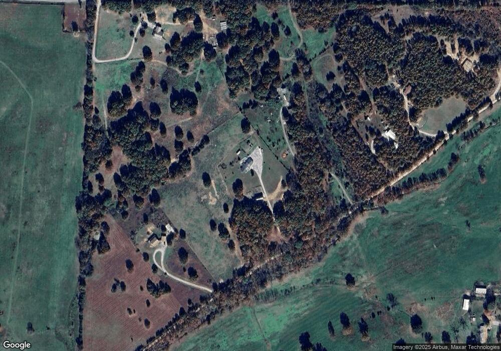
Map
Nearby Homes
- 17665 State Highway 76
- 6179 County Road Kk-420
- 8348 S State Highway 5 (Land & Busns)
- 000 County Rd O-532 Unit 13
- 000 County Road 400-A
- 6413 County Road 5-403
- 13047 Co Rd Unit 76-505
- RR 1 Box 438K County Rd O-532
- County Rd O-532
- 1913 Wayside Ln
- 000 County Road 422
- 14442 State Highway Af
- 15576 State Highway 76
- 1007 Collins Ave Unit 4
- 0 County Road 422
- 1307 Route Af
- 1612 S Jefferson St
- Tbd 000 Lower Ford Rd
- 16086 State Highway 76
- 20093 State Highway 76
- 10889 County Road K K-404
- 9669 Co Unit Kk
- 9669 Co Unit 404 Kk
- 9669 Co Unit Kk-404
- 9485 County Rd Kk-404 Rd
- 16408 W State Highway 76
- 10537 County Rd Kk-404 Rd
- 10645 County Road K K-404
- 16535 W State Highway 76
- 3554 Hcr Unit 71-County 404
- 15937 W State Highway 76
- 7697 County Rd W 76-522
- Lot 6 Woodland Height Hwy Pp
- 17242 W State Highway 76
- 7511 State Highway Pp
- 17059 W State Highway 76
- 6768 County Rd W 76-522
- 17189 W State Highway 76
- 16697 W State Highway 76
- Rt3 Box251-M