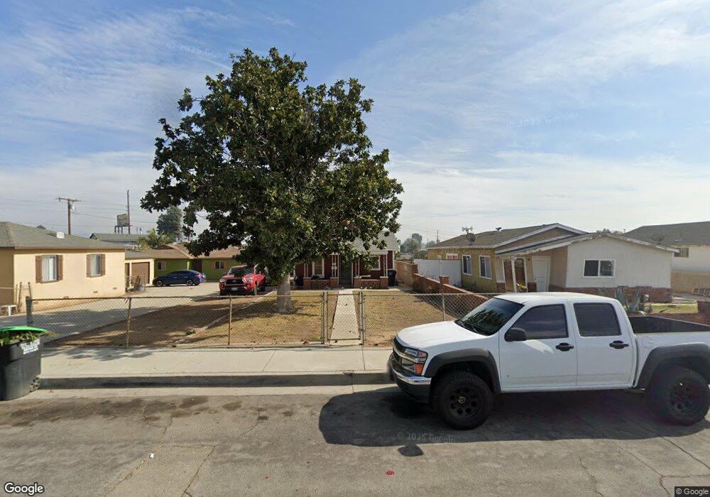
10648 Mina St Whittier, CA 90605
South Whittier NeighborhoodEstimated Value: $559,868 - $707,000
1
Bed
1
Bath
616
Sq Ft
$1,039/Sq Ft
Est. Value
About This Home
This home is located at 10648 Mina St, Whittier, CA 90605 and is currently estimated at $639,967, approximately $1,038 per square foot. 10648 Mina St is a home located in Los Angeles County with nearby schools including Pioneer High School, Carden Academy of Whittier, and St. Gregory The Great.
Ownership History
Date
Name
Owned For
Owner Type
Purchase Details
Closed on
Dec 5, 2012
Sold by
Jasso Denise and The Pescosolido Family Trust
Bought by
Pescosolido Victor and Victor Pescosolido Trust
Current Estimated Value
Create a Home Valuation Report for This Property
The Home Valuation Report is an in-depth analysis detailing your home's value as well as a comparison with similar homes in the area
Home Values in the Area
Average Home Value in this Area
Purchase History
| Date | Buyer | Sale Price | Title Company |
|---|---|---|---|
| Pescosolido Victor | -- | None Available |
Source: Public Records
Tax History Compared to Growth
Tax History
| Year | Tax Paid | Tax Assessment Tax Assessment Total Assessment is a certain percentage of the fair market value that is determined by local assessors to be the total taxable value of land and additions on the property. | Land | Improvement |
|---|---|---|---|---|
| 2025 | $1,392 | $75,881 | $40,826 | $35,055 |
| 2024 | $1,392 | $74,394 | $40,026 | $34,368 |
| 2023 | $1,359 | $72,937 | $39,242 | $33,695 |
| 2022 | $1,357 | $71,508 | $38,473 | $33,035 |
| 2021 | $1,331 | $70,107 | $37,719 | $32,388 |
| 2019 | $1,308 | $68,029 | $36,601 | $31,428 |
| 2018 | $1,203 | $66,696 | $35,884 | $30,812 |
| 2016 | $1,141 | $64,108 | $34,492 | $29,616 |
| 2015 | $1,116 | $63,146 | $33,974 | $29,172 |
| 2014 | $1,112 | $61,910 | $33,309 | $28,601 |
Source: Public Records
Map
Nearby Homes
- 13752 Bentongrove Dr
- 10246 Parkinson Ave
- 10849 Inez St
- 10123 Lanett Ave
- 13649 Reis St
- 13414 Reis St
- 10745 Victoria Ave Unit 4
- 10745 Victoria Ave Unit 6
- 10745 Victoria Ave
- 11116 Leland Ave
- 14076 Cornishcrest Rd
- 9551 Barkerville Ave
- 11102 Eagle Ln
- 11118 Bunker Ln
- 14037 Mystic St
- 13538 Lukay St
- 11518 Fidel Ave
- 11428 Painter Ave
- 9534 Painter Ave
- 13856 Mulberry Dr