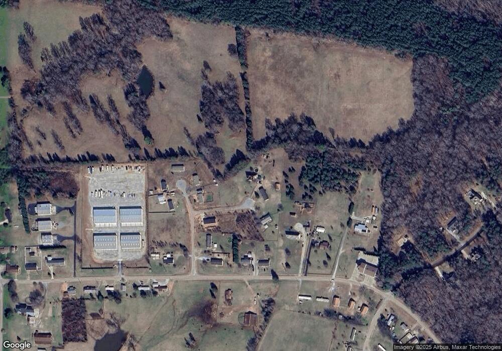
1065 Birdshot Ln Salisbury, NC 28146
Estimated Value: $225,773 - $321,000
Studio
3
Baths
2,610
Sq Ft
$109/Sq Ft
Est. Value
About This Home
This home is located at 1065 Birdshot Ln, Salisbury, NC 28146 and is currently estimated at $283,443, approximately $108 per square foot. 1065 Birdshot Ln is a home located in Rowan County with nearby schools including E Hanford Dole Elementary School, North Rowan Middle School, and North Rowan High School.
Ownership History
Date
Name
Owned For
Owner Type
Purchase Details
Closed on
May 27, 2022
Sold by
Billy Hill Jr and Billy Avery M
Bought by
Gulledge Christopher David and Schaefer Pruellar Lee
Current Estimated Value
Home Financials for this Owner
Home Financials are based on the most recent Mortgage that was taken out on this home.
Original Mortgage
$193,431
Outstanding Balance
$183,775
Interest Rate
5.1%
Mortgage Type
New Conventional
Estimated Equity
$99,668
Purchase Details
Closed on
Jul 18, 2008
Sold by
Arey Sidney Drew and Arey Terri B
Bought by
Hill Billy J and Johnson Avery M
Home Financials for this Owner
Home Financials are based on the most recent Mortgage that was taken out on this home.
Original Mortgage
$165,601
Interest Rate
6.03%
Mortgage Type
FHA
Create a Home Valuation Report for This Property
The Home Valuation Report is an in-depth analysis detailing your home's value as well as a comparison with similar homes in the area
Purchase History
| Date | Buyer | Sale Price | Title Company |
|---|---|---|---|
| Gulledge Christopher David | $197,000 | Brady & Kosofsky Pa | |
| Hill Billy J | $168,500 | None Available |
Source: Public Records
Mortgage History
| Date | Status | Borrower | Loan Amount |
|---|---|---|---|
| Open | Gulledge Christopher David | $193,431 | |
| Previous Owner | Hill Billy J | $165,601 |
Source: Public Records
Tax History
| Year | Tax Paid | Tax Assessment Tax Assessment Total Assessment is a certain percentage of the fair market value that is determined by local assessors to be the total taxable value of land and additions on the property. | Land | Improvement |
|---|---|---|---|---|
| 2025 | $1,590 | $238,186 | $34,500 | $203,686 |
| 2024 | $1,590 | $238,186 | $34,500 | $203,686 |
| 2023 | $1,590 | $238,186 | $34,500 | $203,686 |
| 2022 | $1,582 | $212,384 | $31,050 | $181,334 |
| 2021 | $1,566 | $212,384 | $31,050 | $181,334 |
| 2020 | $1,566 | $212,384 | $31,050 | $181,334 |
| 2019 | $1,566 | $212,384 | $31,050 | $181,334 |
| 2018 | $1,332 | $182,084 | $31,050 | $151,034 |
| 2017 | $1,332 | $182,084 | $31,050 | $151,034 |
| 2016 | $1,332 | $182,084 | $31,050 | $151,034 |
| 2015 | $1,352 | $182,084 | $31,050 | $151,034 |
| 2014 | $1,110 | $154,164 | $31,050 | $123,114 |
Source: Public Records
Map
Nearby Homes
- 1020 Pebble Point
- 3420 Long Ferry Rd
- 3425 Long Ferry Rd
- 215 Village Ln
- 1135 Rudder Cir
- 1105 Rudder Cir
- 1283 Sunset Pointe Dr
- 1261 Sunset Pointe Dr Unit 60
- 1175 McCoy Farm Rd
- 453 Sunset Pointe Dr
- 589 Sunset Pointe Dr
- 1925 Marina Pointe Rd
- 1995 Marina Pointe Rd
- 2005 Marina Pointe Rd
- 1975 Marina Pointe Rd
- 1020 Tidewater Rd
- 1059 Tidewater Rd
- 1053 Inlet Point Rd
- 238 Bluff Ln
- 5555 Long Ferry Rd
- 0 Birdshot Ln
- 1068 Birdshot Ln
- 4540 Long Ferry Rd
- 250 Buckshot Trail Unit 6
- 0 Buckshot Trail
- 0 Buckshot Trail
- 4458 Long Ferry Rd
- 235 Buckshot Trail
- 114 Buckshot Trail
- 4560 Long Ferry Rd
- 4580 Long Ferry Rd
- 4555 Long Ferry Rd
- 4565 Long Ferry Rd
- 4385 Long Ferry Rd
- 4575 Long Ferry Rd
- 4355 Long Ferry Rd
- 102 Bayridge Dr
- 4585 Long Ferry Rd
- 4325 Long Ferry Rd
- 6 Bayridge Dr
