1065 Brooks Rd Hastings, MI 49058
Estimated Value: $70,000 - $157,000
3
Beds
2
Baths
1,056
Sq Ft
$109/Sq Ft
Est. Value
About This Home
This home is located at 1065 Brooks Rd, Hastings, MI 49058 and is currently estimated at $114,667, approximately $108 per square foot. 1065 Brooks Rd is a home located in Barry County with nearby schools including Hastings High School.
Ownership History
Date
Name
Owned For
Owner Type
Purchase Details
Closed on
Oct 12, 2011
Sold by
Down Evan
Bought by
Ulrich Nancy L
Current Estimated Value
Purchase Details
Closed on
Feb 7, 2011
Sold by
Reo Nationwide Llc
Bought by
Down Evan J
Purchase Details
Closed on
Jul 1, 2008
Sold by
Deutsche Bank National Trust Co
Bought by
Reo Nationwide Llc
Purchase Details
Closed on
Nov 1, 2007
Sold by
Hannan Michael H
Bought by
Deutsche Bank National Trust Co and Ameriquest Mortgage Securities Inc
Purchase Details
Closed on
Mar 19, 2004
Sold by
Hannan Charles P and Hannan Jane E
Bought by
Hannan Michael H
Home Financials for this Owner
Home Financials are based on the most recent Mortgage that was taken out on this home.
Original Mortgage
$68,625
Interest Rate
8.75%
Mortgage Type
New Conventional
Create a Home Valuation Report for This Property
The Home Valuation Report is an in-depth analysis detailing your home's value as well as a comparison with similar homes in the area
Home Values in the Area
Average Home Value in this Area
Purchase History
| Date | Buyer | Sale Price | Title Company |
|---|---|---|---|
| Ulrich Nancy L | $19,900 | None Available | |
| Down Evan J | $5,657 | None Available | |
| Reo Nationwide Llc | $4,200 | None Available | |
| Deutsche Bank National Trust Co | $76,473 | None Available | |
| Hannan Michael H | -- | Devon Title |
Source: Public Records
Mortgage History
| Date | Status | Borrower | Loan Amount |
|---|---|---|---|
| Previous Owner | Hannan Michael H | $68,625 |
Source: Public Records
Tax History Compared to Growth
Tax History
| Year | Tax Paid | Tax Assessment Tax Assessment Total Assessment is a certain percentage of the fair market value that is determined by local assessors to be the total taxable value of land and additions on the property. | Land | Improvement |
|---|---|---|---|---|
| 2025 | $969 | $49,700 | $0 | $0 |
| 2024 | $969 | $50,500 | $0 | $0 |
| 2023 | $883 | $39,300 | $0 | $0 |
| 2022 | $883 | $39,300 | $0 | $0 |
| 2021 | $883 | $33,900 | $0 | $0 |
| 2020 | -- | $33,200 | $0 | $0 |
| 2019 | $883 | $25,800 | $0 | $0 |
| 2018 | -- | $21,100 | $4,900 | $16,200 |
| 2017 | $883 | $20,500 | $0 | $0 |
| 2016 | -- | $19,700 | $0 | $0 |
| 2015 | -- | $18,100 | $0 | $0 |
| 2014 | -- | $18,100 | $0 | $0 |
Source: Public Records
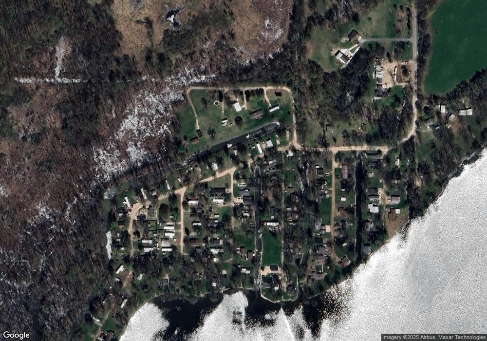
Map
Nearby Homes
- 5633 Thornapple Lake Rd
- 65 Sundago Park St
- 5697 Thornapple Lake Rd
- VL Center Rd Lot Unit WP001
- Vl Center Rd Lot Unit WP001
- 4602 E State Rd
- 3261 River Ln
- Parc C Pokey Dr
- Parc D Sager Rd
- 2255 River Rd
- 7814 Michigan 79
- 1673 Nashville Rd
- 1625 Secluded Acres Dr
- 1301 E Mill St
- 1859 Jester Dr
- 3150 Worgess Rd
- 1634 Lavender Dr
- V/L Michigan 79
- 0 Michigan 79 Unit 25022518
- 700 E Woodlawn Ave
- 1067 Brooks Rd
- 946 Charlton Dr
- 0 Charlton Dr
- 1061 Valentine Rd
- 1069 Brooks Rd
- 1069 Brooks Rd
- 1063 Valentine Rd
- 1024 Charlton Dr
- 1150 Charlton Dr
- V/L Charlton Dr
- 1157 Valentine Rd
- 1105 Brooks Rd
- 1032 Charlton Dr
- 1022 Charlton Dr
- 1073 Brooks Rd
- 1103 Brooks Rd
- 1077 Brooks Rd
- Lots 20-21 Valentine Rd
- 1101 Brooks Rd
- 1101 Brooks Rd