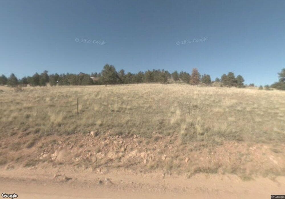
1065 County Road 12 Florissant, CO 80816
Estimated Value: $95,961
--
Bed
--
Bath
192
Sq Ft
$500/Sq Ft
Est. Value
About This Home
This home is located at 1065 County Road 12, Florissant, CO 80816 and is currently estimated at $95,961, approximately $499 per square foot. 1065 County Road 12 is a home located in Teller County with nearby schools including Cresson Elementary School and Cripple Creek-Victor Junior/Senior High School.
Ownership History
Date
Name
Owned For
Owner Type
Purchase Details
Closed on
Oct 27, 2021
Sold by
Wilson Jr John E
Bought by
Graham Ronald Edward and Damerst Lisa Yvonne
Current Estimated Value
Purchase Details
Closed on
Jun 8, 2015
Sold by
Kohler Calvin and Kohler Terry M
Bought by
Wilson John E and Wilson Jessica S
Home Financials for this Owner
Home Financials are based on the most recent Mortgage that was taken out on this home.
Original Mortgage
$36,400
Interest Rate
3.7%
Mortgage Type
New Conventional
Purchase Details
Closed on
Mar 10, 2000
Bought by
Wilson John E and Wilson Jessica S
Purchase Details
Closed on
Jul 29, 1997
Bought by
Wilson John E and Wilson Jessica S
Purchase Details
Closed on
Aug 14, 1996
Bought by
Wilson John E and Wilson Jessica S
Create a Home Valuation Report for This Property
The Home Valuation Report is an in-depth analysis detailing your home's value as well as a comparison with similar homes in the area
Home Values in the Area
Average Home Value in this Area
Purchase History
| Date | Buyer | Sale Price | Title Company |
|---|---|---|---|
| Graham Ronald Edward | $85,000 | None Listed On Document | |
| Wilson John E | $45,500 | Fidelity National Title Insu | |
| Wilson John E | $34,900 | -- | |
| Wilson John E | $22,000 | -- | |
| Wilson John E | $22,000 | -- |
Source: Public Records
Mortgage History
| Date | Status | Borrower | Loan Amount |
|---|---|---|---|
| Previous Owner | Wilson John E | $36,400 |
Source: Public Records
Tax History Compared to Growth
Tax History
| Year | Tax Paid | Tax Assessment Tax Assessment Total Assessment is a certain percentage of the fair market value that is determined by local assessors to be the total taxable value of land and additions on the property. | Land | Improvement |
|---|---|---|---|---|
| 2024 | $1,426 | $33,680 | $33,489 | $191 |
| 2023 | $1,426 | $33,878 | $33,680 | $198 |
| 2022 | $919 | $21,246 | $21,100 | $146 |
| 2021 | $923 | $21,100 | $21,100 | $0 |
| 2020 | $991 | $25,710 | $25,710 | $0 |
| 2019 | $985 | $25,710 | $0 | $0 |
| 2018 | $608 | $14,710 | $0 | $0 |
| 2017 | $606 | $14,710 | $0 | $0 |
| 2016 | $609 | $14,440 | $0 | $0 |
| 2015 | $622 | $14,440 | $0 | $0 |
| 2014 | -- | $12,480 | $0 | $0 |
Source: Public Records
Map
Nearby Homes
- 3032 County Road 12
- 3032-4 County Road 12
- 144 Chapparal Trail
- 224 Chapparal Trail
- 308 Chapparal Trail
- 0 Tbd County Road 12
- 187 Thunder Ridge Rd
- 315 Thunder Ridge Rd
- 936 Matterhorn Dr
- 490 Elkhorn Rd
- 76 Crocus Cir
- 16 Rainier Dr
- 56 Fir Ln
- 680 Crescent Dr
- 382 Arrowhead Dr
- 571 Ponderosa Dr
- 208 Eaglecrest Dr
- 696 Calle de La Nieva
- 3032-3 County Road 12
- 2 County Road 12
- #2 County Road 12
- 1709 County Road 12
- 1709 County 12
- 1583 County Road 12 Rd
- 1583 County 12 Rd
- 1457 County 12 Rd
- 1457 County Road 12 Rd
- 1401 County Rd 12
- 1417 County Road 12 Rd
- 1401 County Road 12
- 1347 County Rd 12
- 52 Panorama Dr
- 130 Panorama Dr
- 26 Panorama Dr
- 156 Panorama Dr
- 182 Panorama Dr
- 107 Panorama Dr
- 26 Panorama