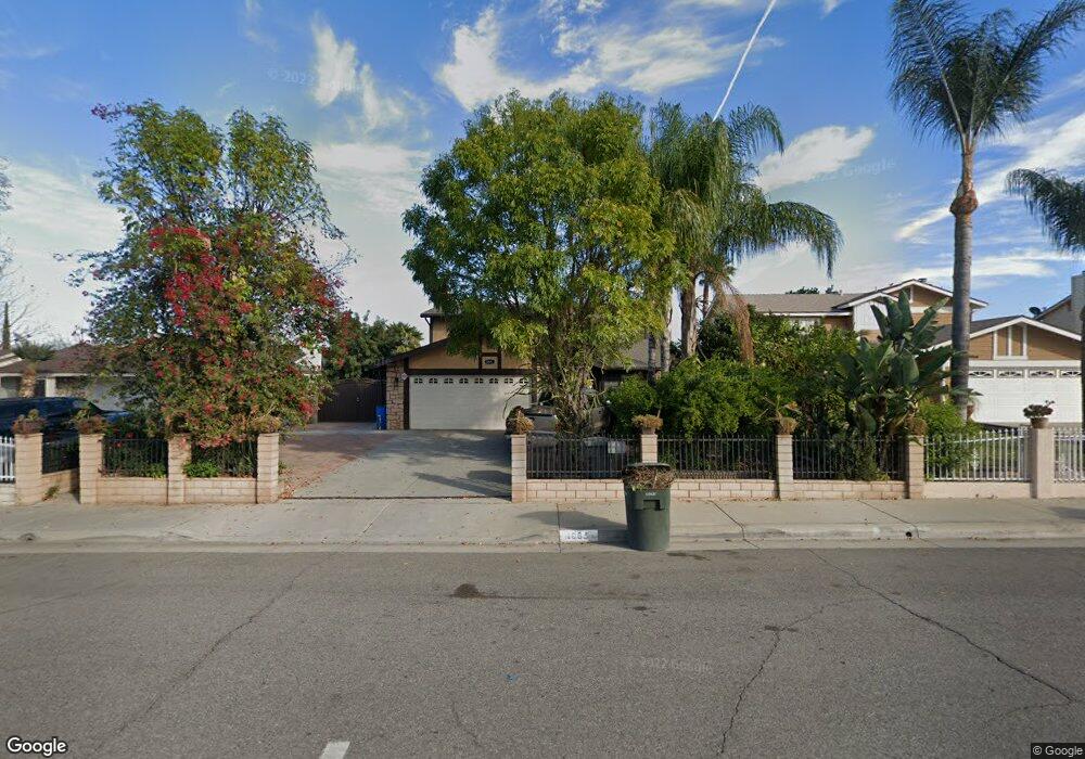
1065 Delines Dr Perris, CA 92570
Westside Perris NeighborhoodEstimated Value: $479,292 - $522,000
3
Beds
3
Baths
1,546
Sq Ft
$321/Sq Ft
Est. Value
About This Home
This home is located at 1065 Delines Dr, Perris, CA 92570 and is currently estimated at $496,323, approximately $321 per square foot. 1065 Delines Dr is a home located in Riverside County with nearby schools including Enchanted Hills Elementary School, Pinacate Middle School, and Perris High School.
Ownership History
Date
Name
Owned For
Owner Type
Purchase Details
Closed on
Dec 2, 1997
Sold by
Hud
Bought by
Rondan Arcelia
Current Estimated Value
Home Financials for this Owner
Home Financials are based on the most recent Mortgage that was taken out on this home.
Original Mortgage
$80,337
Interest Rate
7.05%
Mortgage Type
FHA
Purchase Details
Closed on
Jul 10, 1997
Sold by
North American Mtg Company
Bought by
Hud
Create a Home Valuation Report for This Property
The Home Valuation Report is an in-depth analysis detailing your home's value as well as a comparison with similar homes in the area
Home Values in the Area
Average Home Value in this Area
Purchase History
| Date | Buyer | Sale Price | Title Company |
|---|---|---|---|
| Rondan Arcelia | $81,000 | American Title | |
| Hud | -- | American Title Ins Co | |
| North American Mtg Company | $93,136 | American Title Ins Co |
Source: Public Records
Mortgage History
| Date | Status | Borrower | Loan Amount |
|---|---|---|---|
| Previous Owner | Rondan Arcelia | $80,337 |
Source: Public Records
Tax History
| Year | Tax Paid | Tax Assessment Tax Assessment Total Assessment is a certain percentage of the fair market value that is determined by local assessors to be the total taxable value of land and additions on the property. | Land | Improvement |
|---|---|---|---|---|
| 2025 | $1,512 | $129,297 | $39,903 | $89,394 |
| 2023 | $1,512 | $124,278 | $38,354 | $85,924 |
| 2022 | $1,495 | $121,842 | $37,602 | $84,240 |
| 2021 | $1,467 | $119,454 | $36,865 | $82,589 |
| 2020 | $1,457 | $118,230 | $36,487 | $81,743 |
| 2019 | $1,425 | $115,913 | $35,772 | $80,141 |
| 2018 | $1,363 | $113,641 | $35,071 | $78,570 |
| 2017 | $1,346 | $111,414 | $34,384 | $77,030 |
| 2016 | $1,320 | $109,230 | $33,710 | $75,520 |
| 2015 | $1,295 | $107,591 | $33,204 | $74,387 |
| 2014 | $1,267 | $105,485 | $32,554 | $72,931 |
Source: Public Records
Map
Nearby Homes
- 805 Florablanca Ct
- 505 Fair Park Way
- 815 Georgiana Ct
- 1520 Delines Dr
- 802 Roadrunner Way
- 24001 Nuevo Rd
- 24001 -24002 Nuevo Rd
- 24003 Nuevo Rd
- 24002 Nuevo Rd
- 347 Columbine Ct
- 1025 Davids Rd
- 1255 Comiskey Ct
- 1098 Richards Rd
- 509 N D St
- 548 Bond Dr
- 591 W 3rd St
- 122 E Bowen Rd
- 0 Highway 74 Hwy Unit IG25175334
- 0 Tepee Unit SW26072745
- 1358 W Metz Rd
- 1083 Delines Dr
- 1047 Delines Dr
- 1127 de Lines Dr
- 1171 de Lines Dr
- 1149 de Lines Dr
- 1193 Delines Dr
- 1029 Delines Dr
- 1101 Delines Dr
- 1062 Symeron Ct
- 1080 Symeron Ct
- 1044 Symeron Ct
- 1098 Symeron Ct
- 1011 Delines Dr
- 617 Santa fe Ct
- 1026 Symeron Ct
- 593 Serrana Rd
- 585 Serrana Rd
- 1116 Symeron Ct
- 618 Santa fe Ct
- 1134 Symeron Ct
Your Personal Tour Guide
Ask me questions while you tour the home.