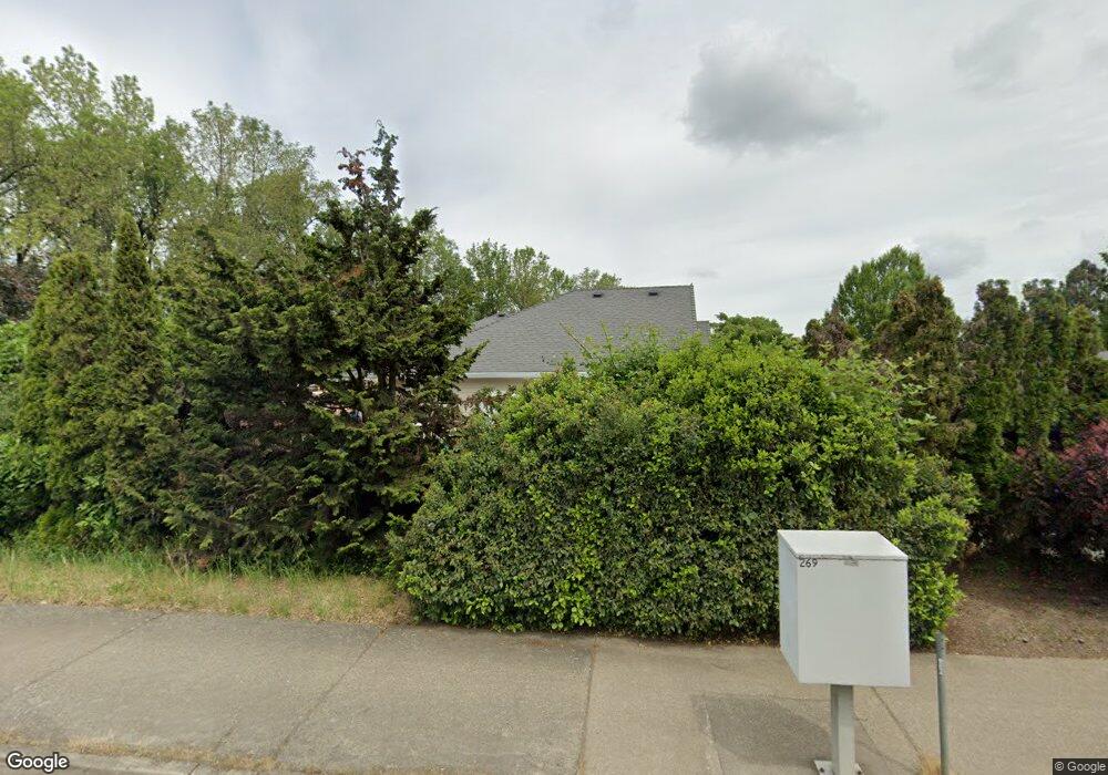
1065 Irving Rd Eugene, OR 97404
Santa Clara NeighborhoodEstimated Value: $510,000 - $533,492
3
Beds
2
Baths
1,715
Sq Ft
$305/Sq Ft
Est. Value
About This Home
This home is located at 1065 Irving Rd, Eugene, OR 97404 and is currently estimated at $522,373, approximately $304 per square foot. 1065 Irving Rd is a home located in Lane County with nearby schools including Irving Elementary School, Shasta Middle School, and Willamette High School.
Ownership History
Date
Name
Owned For
Owner Type
Purchase Details
Closed on
Jan 6, 2004
Sold by
Russell William H and Russell Barbara C
Bought by
Khalifeh Esam
Current Estimated Value
Home Financials for this Owner
Home Financials are based on the most recent Mortgage that was taken out on this home.
Original Mortgage
$168,000
Interest Rate
5.21%
Mortgage Type
Purchase Money Mortgage
Purchase Details
Closed on
Dec 28, 1998
Sold by
Weston John C
Bought by
Russell William H and Russell Barbara C
Home Financials for this Owner
Home Financials are based on the most recent Mortgage that was taken out on this home.
Original Mortgage
$55,000
Interest Rate
6.45%
Create a Home Valuation Report for This Property
The Home Valuation Report is an in-depth analysis detailing your home's value as well as a comparison with similar homes in the area
Home Values in the Area
Average Home Value in this Area
Purchase History
| Date | Buyer | Sale Price | Title Company |
|---|---|---|---|
| Khalifeh Esam | $210,000 | American Title Group | |
| Russell William H | $184,500 | Evergreen Land Title Co |
Source: Public Records
Mortgage History
| Date | Status | Borrower | Loan Amount |
|---|---|---|---|
| Closed | Khalifeh Esam | $168,000 | |
| Previous Owner | Russell William H | $55,000 |
Source: Public Records
Tax History
| Year | Tax Paid | Tax Assessment Tax Assessment Total Assessment is a certain percentage of the fair market value that is determined by local assessors to be the total taxable value of land and additions on the property. | Land | Improvement |
|---|---|---|---|---|
| 2025 | $5,448 | $313,187 | -- | -- |
| 2024 | $5,310 | $304,066 | -- | -- |
| 2023 | $5,310 | $295,210 | $0 | $0 |
| 2022 | $4,943 | $286,612 | $0 | $0 |
| 2021 | $4,839 | $278,265 | $0 | $0 |
| 2020 | $4,698 | $270,161 | $0 | $0 |
| 2019 | $4,467 | $262,293 | $0 | $0 |
| 2018 | $4,342 | $247,237 | $0 | $0 |
| 2017 | $4,150 | $247,237 | $0 | $0 |
| 2016 | $4,044 | $240,036 | $0 | $0 |
| 2015 | $3,964 | $233,045 | $0 | $0 |
| 2014 | $3,904 | $226,257 | $0 | $0 |
Source: Public Records
Map
Nearby Homes
- 2987 Dry Creek Rd
- 2965 Teal Place
- 2931 Shelby Way
- 805 Impala Ave
- 2488 Northampton
- 2610 Crowther Dr
- 2580 Crowther Dr
- 1256 Frogs Leap Ln
- 1265 Napa Creek Dr
- 2418 Kalmia St
- 2721 La Darrah St
- 2563 York St
- 541 Durham Ave
- 3365 Goose Cross Ln
- 3256 Marvin Dr
- 349 Irving Rd
- 3470 Cabernet Ln
- 1307 Bramblewood Ln
- 374 Blackfoot Ave
- 303 Lenore Loop
- 1059 Irving Rd
- 1035 Irving Rd
- 1053 Irving Rd
- 2811 Dry Creek Rd
- 2693 Lansdown Rd
- 1050 Irving Rd
- 2821 Dry Creek Rd
- 1025 Irving Rd
- 2688 Lansdown Rd
- 2720 Arrowhead St
- 1047 Irving Rd
- 977 Impala Ave
- 2750 Arrowhead St
- 985 Impala Ave
- 2841 Dry Creek Rd
- 2770 Arrowhead St
- 959 Impala Ave
- 2851 Dry Creek Rd
- 2595 Northampton
Your Personal Tour Guide
Ask me questions while you tour the home.