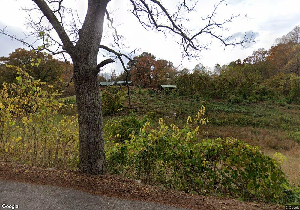
1065 Ryan Rd Fall Branch, TN 37656
Estimated Value: $122,906 - $249,000
Studio
2
Baths
1,512
Sq Ft
$137/Sq Ft
Est. Value
About This Home
This home is located at 1065 Ryan Rd, Fall Branch, TN 37656 and is currently estimated at $207,477, approximately $137 per square foot. 1065 Ryan Rd is a home located in Greene County with nearby schools including Baileyton Elementary School, North Greene Middle School, and North Greene High School.
Ownership History
Date
Name
Owned For
Owner Type
Purchase Details
Closed on
Mar 5, 2019
Sold by
Quillen Mark and Quillen Ann
Bought by
Baker Donald R and Baker Sandra
Current Estimated Value
Home Financials for this Owner
Home Financials are based on the most recent Mortgage that was taken out on this home.
Original Mortgage
$108,000
Outstanding Balance
$94,370
Interest Rate
4.4%
Mortgage Type
Seller Take Back
Estimated Equity
$113,107
Purchase Details
Closed on
Dec 14, 2018
Sold by
Quillen Jeff
Bought by
Quillen Mark
Purchase Details
Closed on
Sep 25, 2017
Sold by
Mullins Jackie P and Mullins P J
Bought by
Quillen Steven R
Purchase Details
Closed on
Jul 17, 2000
Sold by
Fleenor Paul S
Bought by
Quillen Stevan R
Purchase Details
Closed on
Jul 10, 2000
Sold by
Fleenor Paul S
Bought by
Fleenor Paul S
Purchase Details
Closed on
Jun 1, 2000
Sold by
Fleenor Paul S
Bought by
Moody Troy L
Create a Home Valuation Report for This Property
The Home Valuation Report is an in-depth analysis detailing your home's value as well as a comparison with similar homes in the area
Purchase History
| Date | Buyer | Sale Price | Title Company |
|---|---|---|---|
| Baker Donald R | -- | None Available | |
| Quillen Mark | -- | None Available | |
| Quillen Steven R | $3,243 | None Available | |
| Quillen Stevan R | $12,500 | -- | |
| Fleenor Paul S | $6,400 | -- | |
| Moody Troy L | $33,000 | -- |
Source: Public Records
Mortgage History
| Date | Status | Borrower | Loan Amount |
|---|---|---|---|
| Open | Baker Donald R | $108,000 |
Source: Public Records
Tax History
| Year | Tax Paid | Tax Assessment Tax Assessment Total Assessment is a certain percentage of the fair market value that is determined by local assessors to be the total taxable value of land and additions on the property. | Land | Improvement |
|---|---|---|---|---|
| 2025 | $637 | $38,600 | $3,675 | $34,925 |
| 2024 | $637 | $38,600 | $3,675 | $34,925 |
| 2023 | $637 | $38,600 | $0 | $0 |
| 2022 | $400 | $19,850 | $2,500 | $17,350 |
| 2021 | $400 | $19,850 | $2,500 | $17,350 |
| 2020 | $400 | $19,850 | $2,500 | $17,350 |
| 2019 | $400 | $19,850 | $2,500 | $17,350 |
| 2018 | $400 | $19,850 | $2,500 | $17,350 |
| 2017 | $108 | $5,475 | $2,500 | $2,975 |
| 2016 | $103 | $5,475 | $2,500 | $2,975 |
| 2015 | $103 | $5,475 | $2,500 | $2,975 |
| 2014 | $103 | $5,475 | $2,500 | $2,975 |
Source: Public Records
Map
Nearby Homes
- 1340 Ryan Rd
- Tbd Pitt Loop
- 176 Moulton Rd
- 211 Sunny Hill Ct
- 255 Bank Dr
- 520 Highway 93
- Lot 6 Tbd Tennessee 93
- Lot 4 Tbd Tennessee 93
- Lot 5 Tbd Tennessee 93
- Lot 2 Tbd Tennessee 93
- Lot 3 Tbd Tennessee 93
- Lot 1 Tbd Tennessee 93
- TBD Tennessee 93
- 238 Cherry Ln
- 2710 Jearoldstown Rd
- 185 Milk Thistle Way
- 2145 Tennessee 93
- 143 Fordtown Rd
- 17505 Kingsport Hwy
- Lots 3-4 Double Springs Rd
Your Personal Tour Guide
Ask me questions while you tour the home.