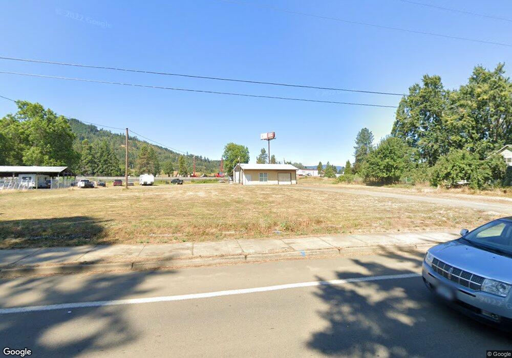
1065 S Comstock Rd Sutherlin, OR 97479
Estimated Value: $594,112
--
Bed
--
Bath
672
Sq Ft
$884/Sq Ft
Est. Value
About This Home
This home is located at 1065 S Comstock Rd, Sutherlin, OR 97479 and is currently estimated at $594,112, approximately $884 per square foot. 1065 S Comstock Rd is a home located in Douglas County with nearby schools including East Sutherlin Primary School, West Sutherlin Intermediate School, and Sutherlin Middle School.
Ownership History
Date
Name
Owned For
Owner Type
Purchase Details
Closed on
Jun 3, 2005
Sold by
Backen Donald E and Backen Marilyn Fay
Bought by
Morgan Matthew
Current Estimated Value
Home Financials for this Owner
Home Financials are based on the most recent Mortgage that was taken out on this home.
Original Mortgage
$349,906
Interest Rate
5.74%
Mortgage Type
Seller Take Back
Purchase Details
Closed on
Nov 2, 2004
Sold by
Morgan Matthew and Backen Donald E
Bought by
Morgan Matthew and Backen Donald E
Create a Home Valuation Report for This Property
The Home Valuation Report is an in-depth analysis detailing your home's value as well as a comparison with similar homes in the area
Home Values in the Area
Average Home Value in this Area
Purchase History
| Date | Buyer | Sale Price | Title Company |
|---|---|---|---|
| Morgan Matthew | $349,906 | First American Title Ins Co | |
| Morgan Matthew | -- | -- |
Source: Public Records
Mortgage History
| Date | Status | Borrower | Loan Amount |
|---|---|---|---|
| Closed | Morgan Matthew | $349,906 |
Source: Public Records
Tax History Compared to Growth
Tax History
| Year | Tax Paid | Tax Assessment Tax Assessment Total Assessment is a certain percentage of the fair market value that is determined by local assessors to be the total taxable value of land and additions on the property. | Land | Improvement |
|---|---|---|---|---|
| 2025 | $1,407 | $118,508 | -- | -- |
| 2024 | $1,376 | $115,057 | -- | -- |
| 2023 | $1,337 | $111,706 | $0 | $0 |
| 2022 | $1,299 | $108,453 | $0 | $0 |
| 2021 | $1,261 | $105,295 | $0 | $0 |
| 2020 | $1,224 | $102,229 | $0 | $0 |
| 2019 | $1,189 | $99,252 | $0 | $0 |
| 2018 | $1,154 | $96,362 | $0 | $0 |
| 2017 | $1,182 | $93,556 | $0 | $0 |
| 2016 | $1,148 | $90,832 | $0 | $0 |
| 2015 | $1,115 | $88,187 | $0 | $0 |
| 2014 | $1,082 | $85,619 | $0 | $0 |
Source: Public Records
Map
Nearby Homes
- 1878 Trails End Ln
- 142 S Comstock Ave
- 181 SW Hutchins St
- 1688 W Central Ave
- 1907 W Duke Rd
- 165 Robinson St
- 226 Miller St
- 220 Miller St
- 135 Elkton St
- 154 Coles Valley St
- 126 Coles Valley St
- 324 Dakota St
- 149 Coles Valley St
- 401 N Comstock Ave
- 351 Ashwood St
- 1660 Scardi Blvd
- 788 Schoon Mountain Rd
- 1716 Scardi Blvd Unit 174
- 427 S State St
- 702 Divot Loop
- 1049 S Comstock Ave
- 1101 S Comstock Rd
- 1027 S Comstock Ave
- 1064 S Comstock Rd
- 1076 S Comstock Ave
- 1052 S Comstock Ave
- 1064 S Comstock Ave
- 1009 S Comstock Ave
- 1038 S Comstock Ave
- 1038 S Comstock Rd
- 1247 Park Hill Ln
- 1005 S Comstock Ave
- 1359 Koleno Ave
- 1359 Koleno St
- 1026 S Comstock Ave
- 1102 Lester St
- 1049 Lester St
- 993 S Comstock Ave
- 1124 S Comstock Ave
- 1097 Park Hill Ln