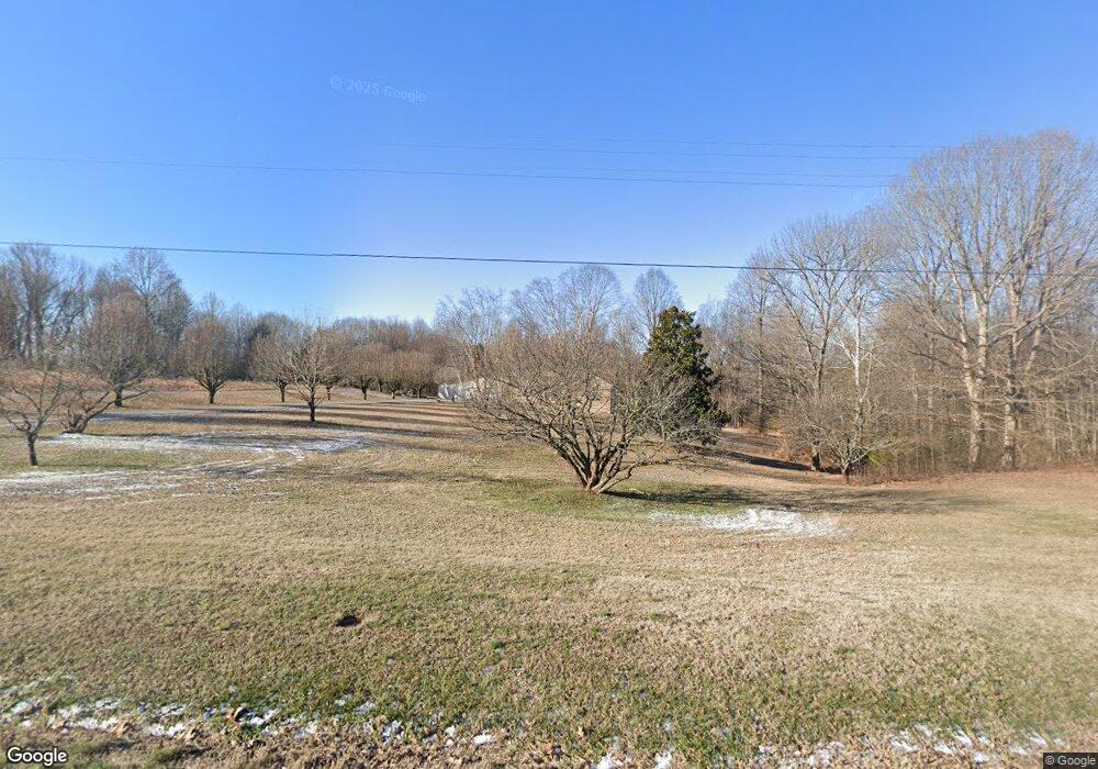
1065 Wixtown Rd Westmoreland, TN 37186
Estimated Value: $279,858 - $364,000
--
Bed
2
Baths
1,619
Sq Ft
$196/Sq Ft
Est. Value
About This Home
This home is located at 1065 Wixtown Rd, Westmoreland, TN 37186 and is currently estimated at $317,965, approximately $196 per square foot. 1065 Wixtown Rd is a home located in Macon County.
Ownership History
Date
Name
Owned For
Owner Type
Purchase Details
Closed on
Apr 22, 2004
Sold by
Harper Joseph S
Bought by
Jones Joel
Current Estimated Value
Purchase Details
Closed on
Aug 25, 1998
Sold by
Harper Joseph
Bought by
Wix Murl and Wix Norma
Purchase Details
Closed on
Aug 17, 1998
Sold by
Harper Joseph
Bought by
Harper Joseph
Purchase Details
Closed on
Apr 14, 1998
Purchase Details
Closed on
Mar 31, 1996
Bought by
Whittemore Terry R and Whittemore Heather D
Create a Home Valuation Report for This Property
The Home Valuation Report is an in-depth analysis detailing your home's value as well as a comparison with similar homes in the area
Home Values in the Area
Average Home Value in this Area
Purchase History
| Date | Buyer | Sale Price | Title Company |
|---|---|---|---|
| Jones Joel | $150,000 | -- | |
| Wix Murl | $5,000 | -- | |
| Millers Chapel Gen Bapt Ch | $7,560 | -- | |
| Fuqua Will | $7,644 | -- | |
| Harper Joseph | $88,500 | -- | |
| -- | $15,000 | -- | |
| Whittemore Terry R | $3,000 | -- |
Source: Public Records
Tax History Compared to Growth
Tax History
| Year | Tax Paid | Tax Assessment Tax Assessment Total Assessment is a certain percentage of the fair market value that is determined by local assessors to be the total taxable value of land and additions on the property. | Land | Improvement |
|---|---|---|---|---|
| 2024 | $861 | $60,950 | $8,750 | $52,200 |
| 2023 | $861 | $60,950 | $0 | $0 |
| 2022 | $781 | $32,525 | $3,475 | $29,050 |
| 2021 | $781 | $32,525 | $3,475 | $29,050 |
| 2020 | $781 | $32,525 | $3,475 | $29,050 |
| 2019 | $781 | $32,525 | $3,475 | $29,050 |
| 2018 | $720 | $32,525 | $3,475 | $29,050 |
| 2017 | $774 | $30,700 | $3,600 | $27,100 |
| 2016 | $737 | $30,700 | $3,600 | $27,100 |
| 2015 | $737 | $30,700 | $3,600 | $27,100 |
| 2014 | $737 | $30,705 | $0 | $0 |
Source: Public Records
Map
Nearby Homes
- 1701 Wixtown Rd
- 1733 Wixtown Rd
- 2486 Oakdale Rd
- 2134 Oakdale Rd
- 2134 Shrum Cemetery Rd
- 2590 Oakdale Rd
- 2166 Shrum Cemetery Rd
- 2192 Shrum Cemetery Rd
- 779 Oakdale Rd
- 98 Andrea Ln
- 2838 Wixtown Rd
- 0 Carter Rd
- 397 Lauren Ln
- 221 Creekside Ln
- 6704 Highway 52 W
- 177 Lauren Ln
- 8141 Old Highway 52
- 0 Highway 52 W Unit RTC2944821
- 0 Highway 52 W Unit RTC2515576
- 0 Johnson Rd
- 1139 Wixtown Rd
- 155 Jones Hollow Rd
- 1197 Wixtown Rd
- 928 Wixtown Rd
- 84 Jones Hollow Rd
- 914 Wixtown Rd
- 185 Jones Hollow Rd
- 1241 Wixtown Rd
- 148 Annie Hollow
- 861 Wixtown Rd
- 1259 Wixtown Rd
- 1310 Wixtown Rd
- 1333 Wixtown Rd
- 760 Wixtown Rd
- 1344 Wixtown Rd
- 1343 Wixtown Rd
- 1371 Wixtown Rd
- 0 Jones Hollow Rd
- 1368 Wixtown Rd
- 0 Carlene Jones Rd
