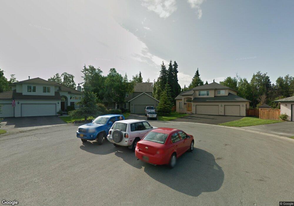
10653 Brigantine Cir Anchorage, AK 99515
Bayshore-Klatt NeighborhoodEstimated Value: $441,000 - $615,000
3
Beds
3
Baths
2,079
Sq Ft
$249/Sq Ft
Est. Value
About This Home
This home is located at 10653 Brigantine Cir, Anchorage, AK 99515 and is currently estimated at $516,858, approximately $248 per square foot. 10653 Brigantine Cir is a home located in Anchorage Municipality with nearby schools including Bayshore Elementary School, Mears Middle School, and Dimond High School.
Ownership History
Date
Name
Owned For
Owner Type
Purchase Details
Closed on
Apr 24, 2008
Sold by
Rose Nathan P and Rose Trena M
Bought by
Baty Barney and Baty Patricia
Current Estimated Value
Home Financials for this Owner
Home Financials are based on the most recent Mortgage that was taken out on this home.
Original Mortgage
$398,385
Outstanding Balance
$253,075
Interest Rate
6.11%
Mortgage Type
VA
Estimated Equity
$263,783
Purchase Details
Closed on
Sep 5, 1997
Sold by
Petersen Group Inc
Bought by
Rose Nathan P and Rose Trena M
Home Financials for this Owner
Home Financials are based on the most recent Mortgage that was taken out on this home.
Original Mortgage
$211,150
Interest Rate
7.42%
Mortgage Type
New Conventional
Create a Home Valuation Report for This Property
The Home Valuation Report is an in-depth analysis detailing your home's value as well as a comparison with similar homes in the area
Home Values in the Area
Average Home Value in this Area
Purchase History
| Date | Buyer | Sale Price | Title Company |
|---|---|---|---|
| Baty Barney | -- | First American Title Ins Co | |
| Rose Nathan P | -- | -- |
Source: Public Records
Mortgage History
| Date | Status | Borrower | Loan Amount |
|---|---|---|---|
| Open | Baty Barney | $398,385 | |
| Previous Owner | Rose Nathan P | $211,150 |
Source: Public Records
Tax History Compared to Growth
Tax History
| Year | Tax Paid | Tax Assessment Tax Assessment Total Assessment is a certain percentage of the fair market value that is determined by local assessors to be the total taxable value of land and additions on the property. | Land | Improvement |
|---|---|---|---|---|
| 2025 | $4,840 | $566,800 | $152,900 | $413,900 |
| 2024 | $4,840 | $524,800 | $135,300 | $389,500 |
| 2023 | $8,074 | $474,100 | $128,800 | $345,300 |
| 2022 | $4,468 | $465,300 | $128,800 | $336,500 |
| 2021 | $7,723 | $428,600 | $128,800 | $299,800 |
| 2020 | $3,717 | $419,800 | $128,800 | $291,000 |
| 2019 | $3,616 | $421,000 | $128,800 | $292,200 |
| 2018 | $3,447 | $410,200 | $128,800 | $281,400 |
| 2017 | $3,691 | $405,700 | $128,800 | $276,900 |
| 2016 | $3,147 | $406,600 | $128,800 | $277,800 |
| 2015 | $3,147 | $404,400 | $128,800 | $275,600 |
| 2014 | $3,147 | $390,400 | $128,800 | $261,600 |
Source: Public Records
Map
Nearby Homes
- 3008 Eaglek Bay Cir
- 2877 Seclusion Bay Dr
- 10967 Retreat Cir
- 2356 Leander Cir
- 11038 Northfleet Dr
- 11050 Retreat Cir
- 2350 Ariel Cir
- 2459 Harbor Landing Cir
- 2909 Seclusion Cove Dr Unit 63
- 3211 Amber Bay Loop
- 2301 Harbor Landing Cir
- 11383 Discovery View Dr Unit 28
- 2823 Discovery Bay Dr Unit 19B
- 10637 Washington Cir
- 2101 Revere Cir
- 3101 Bettles Bay Loop
- L6 B8 Spartan Dr
- 10205 Goodnews Cir
- L5 B8 Spartan Dr
- 11351 Discovery View Dr Unit 107A
- 10643 Brigantine Cir
- 10663 Brigantine Cir
- 10650 Cutter Cir
- 10640 Cutter Cir
- 10633 Brigantine Cir
- 10662 Brigantine Cir
- 10630 Cutter Cir
- 10660 Cutter Cir
- 10623 Brigantine Cir
- 10620 Cutter Cir
- 10652 Brigantine Cir
- 10642 Brigantine Cir
- 10613 Brigantine Cir
- 10632 Brigantine Cir
- 10610 Cutter Cir
- 10622 Brigantine Cir
- 10603 Brigantine Cir
- 10661 Cutter Cir
- 10641 Cutter Cir
- 10651 Cutter Cir