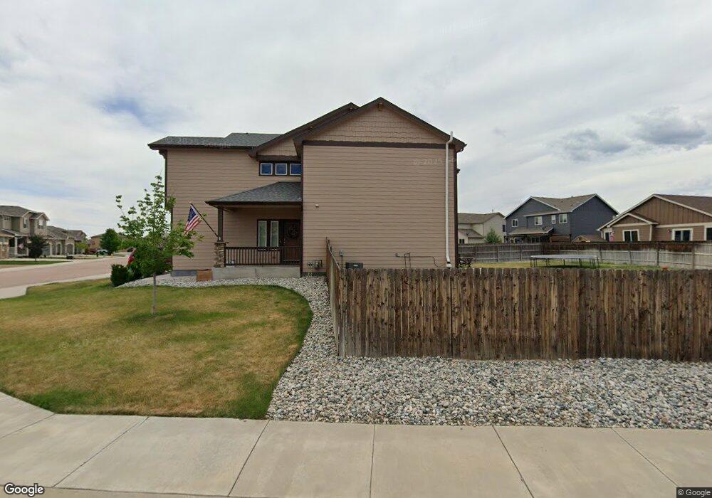
10657 Abrams Dr Colorado Springs, CO 80925
Widefield NeighborhoodEstimated Value: $520,451 - $566,000
5
Beds
4
Baths
2,450
Sq Ft
$222/Sq Ft
Est. Value
About This Home
This home is located at 10657 Abrams Dr, Colorado Springs, CO 80925 and is currently estimated at $543,613, approximately $221 per square foot. 10657 Abrams Dr is a home with nearby schools including Grand Mountain School, Mesa Ridge High School, and Valley Christian Academy.
Ownership History
Date
Name
Owned For
Owner Type
Purchase Details
Closed on
Mar 30, 2017
Sold by
Church Charles and Church Crystal
Bought by
Kline Jeremiah and Kline Mary Anne
Current Estimated Value
Home Financials for this Owner
Home Financials are based on the most recent Mortgage that was taken out on this home.
Original Mortgage
$301,636
Outstanding Balance
$250,593
Interest Rate
4.15%
Mortgage Type
VA
Estimated Equity
$293,020
Purchase Details
Closed on
Jun 30, 2014
Sold by
Saint Aubyn Homes Llc
Bought by
Church Charles and Church Crystal
Home Financials for this Owner
Home Financials are based on the most recent Mortgage that was taken out on this home.
Original Mortgage
$334,066
Interest Rate
4.19%
Mortgage Type
VA
Create a Home Valuation Report for This Property
The Home Valuation Report is an in-depth analysis detailing your home's value as well as a comparison with similar homes in the area
Home Values in the Area
Average Home Value in this Area
Purchase History
| Date | Buyer | Sale Price | Title Company |
|---|---|---|---|
| Kline Jeremiah | $292,000 | Heritage Title Co | |
| Church Charles | $334,100 | Heritage Title |
Source: Public Records
Mortgage History
| Date | Status | Borrower | Loan Amount |
|---|---|---|---|
| Open | Kline Jeremiah | $301,636 | |
| Previous Owner | Church Charles | $334,066 |
Source: Public Records
Tax History Compared to Growth
Tax History
| Year | Tax Paid | Tax Assessment Tax Assessment Total Assessment is a certain percentage of the fair market value that is determined by local assessors to be the total taxable value of land and additions on the property. | Land | Improvement |
|---|---|---|---|---|
| 2025 | $5,104 | $36,280 | -- | -- |
| 2024 | $5,068 | $37,590 | $6,040 | $31,550 |
| 2022 | $3,691 | $26,660 | $4,810 | $21,850 |
| 2021 | $3,843 | $27,430 | $4,950 | $22,480 |
| 2020 | $3,792 | $26,780 | $4,330 | $22,450 |
| 2019 | $3,779 | $26,780 | $4,330 | $22,450 |
| 2018 | $3,689 | $25,740 | $4,360 | $21,380 |
| 2017 | $3,767 | $25,740 | $4,360 | $21,380 |
| 2016 | $3,349 | $25,880 | $4,380 | $21,500 |
| 2015 | $3,528 | $25,880 | $4,380 | $21,500 |
| 2014 | $1,474 | $10,860 | $10,860 | $0 |
Source: Public Records
Map
Nearby Homes
- 10634 Abrams Dr
- 6572 Justice Way
- 10670 Abrams Dr
- 10405 Abrams Dr
- 10525 Abrams Dr
- 10442 Abrams Dr
- 10394 Abrams Dr
- 10568 Kalama Dr
- 10604 Deer Meadow Cir
- 6579 Lamine Dr
- 10721 Yuba Dr
- 10648 Desert Bloom Way
- 6716 Volga Dr
- 6484 Chaplin Dr
- 10202 Abrams Dr
- 10732 Deer Meadow Cir
- 10179 Seawolf Dr
- 10208 Abrams Dr
- 10250 Intrepid Way
- 6868 Alsea Dr
- 10663 Abrams Dr
- 6615 Stingray Ln
- 6603 Stingray Ln
- 10669 Abrams Dr
- 6639 Stingray Ln
- 6631 Justice Way
- 10658 Abrams Dr
- 6621 Justice Way
- 6611 Justice Way
- 10652 Abrams Dr
- 6651 Stingray Ln
- 10664 Abrams Dr
- 10675 Abrams Dr
- 6601 Justice Way
- 6663 Stingray Ln
- 10681 Abrams Dr
- 10646 Abrams Dr
- 6675 Stingray Ln
- 6579 Stingray Ln
- 6614 Stingray Ln