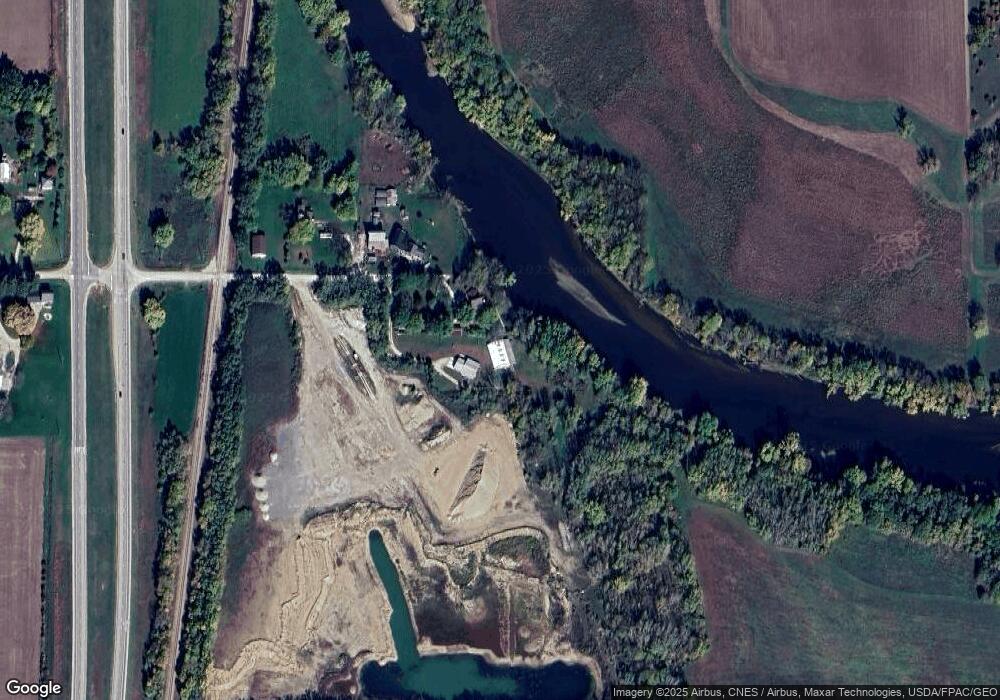
1066 305th St Nashua, IA 50658
Estimated Value: $263,000 - $462,110
2
Beds
2
Baths
1,550
Sq Ft
$238/Sq Ft
Est. Value
About This Home
This home is located at 1066 305th St, Nashua, IA 50658 and is currently estimated at $368,370, approximately $237 per square foot. 1066 305th St is a home located in Chickasaw County with nearby schools including Nashua-Plainfield Elementary School and Nashua-Plainfield Jr./Sr. High School.
Ownership History
Date
Name
Owned For
Owner Type
Purchase Details
Closed on
Apr 15, 2013
Sold by
Sutton Roger L and Schroeder Sutton Tamara
Bought by
Harms Preston R
Current Estimated Value
Home Financials for this Owner
Home Financials are based on the most recent Mortgage that was taken out on this home.
Original Mortgage
$116,250
Outstanding Balance
$82,538
Interest Rate
3.6%
Mortgage Type
Future Advance Clause Open End Mortgage
Estimated Equity
$285,832
Create a Home Valuation Report for This Property
The Home Valuation Report is an in-depth analysis detailing your home's value as well as a comparison with similar homes in the area
Home Values in the Area
Average Home Value in this Area
Purchase History
| Date | Buyer | Sale Price | Title Company |
|---|---|---|---|
| Harms Preston R | $10,000 | None Available |
Source: Public Records
Mortgage History
| Date | Status | Borrower | Loan Amount |
|---|---|---|---|
| Open | Harms Preston R | $116,250 |
Source: Public Records
Tax History Compared to Growth
Tax History
| Year | Tax Paid | Tax Assessment Tax Assessment Total Assessment is a certain percentage of the fair market value that is determined by local assessors to be the total taxable value of land and additions on the property. | Land | Improvement |
|---|---|---|---|---|
| 2025 | $2,930 | $347,100 | $17,500 | $329,600 |
| 2024 | $2,930 | $273,900 | $13,100 | $260,800 |
| 2023 | $704 | $266,700 | $13,100 | $253,600 |
| 2022 | $254 | $61,700 | $10,000 | $51,700 |
| 2021 | $254 | $25,200 | $10,600 | $14,600 |
| 2020 | $252 | $25,200 | $9,800 | $15,400 |
| 2019 | $266 | $30,500 | $0 | $0 |
| 2018 | $266 | $30,500 | $0 | $0 |
| 2017 | $254 | $33,100 | $0 | $0 |
| 2016 | $258 | $33,100 | $0 | $0 |
| 2015 | $250 | $34,400 | $0 | $0 |
| 2014 | $262 | $18,300 | $0 | $0 |
Source: Public Records
Map
Nearby Homes
- 225 Aspinwall St
- 802 Andrews St
- 516 Brasher St
- 511 Brasher St
- 417 Madison St
- 314 Andrews St
- 302 Andrews St
- 302 Douglas St
- 302 Woodbridge St
- 110 Wabash Ave
- 101 Andrews St
- 0 Amherst Blvd
- 2660 Akron Way
- 1461 110th St
- 1290 270 Th St
- 2636 Scenic Ln
- Lot 2 Harbor Ridge Third Addition
- Lot 18 Harbor Ridge
- Lot 17 Harbor Ridge
- Lot 19 Harbor Ridge
