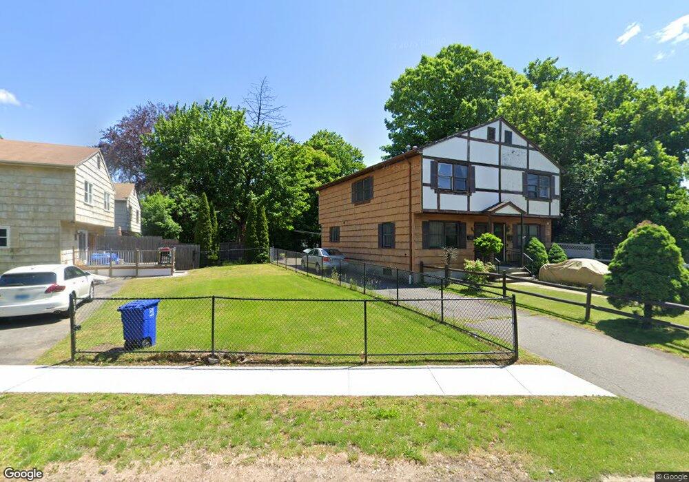
1066 Brooklawn Ave Bridgeport, CT 06604
Brooklawn-Saint Vincent NeighborhoodEstimated Value: $319,000 - $411,000
3
Beds
2
Baths
1,280
Sq Ft
$289/Sq Ft
Est. Value
About This Home
This home is located at 1066 Brooklawn Ave, Bridgeport, CT 06604 and is currently estimated at $369,550, approximately $288 per square foot. 1066 Brooklawn Ave is a home located in Fairfield County with nearby schools including Blackham School, Central High School, and Assumption Catholic School.
Ownership History
Date
Name
Owned For
Owner Type
Purchase Details
Closed on
Jul 30, 1999
Sold by
Lasky Connie D
Bought by
Wolak Therese Z
Current Estimated Value
Home Financials for this Owner
Home Financials are based on the most recent Mortgage that was taken out on this home.
Original Mortgage
$50,000
Outstanding Balance
$14,323
Interest Rate
7.61%
Estimated Equity
$355,227
Create a Home Valuation Report for This Property
The Home Valuation Report is an in-depth analysis detailing your home's value as well as a comparison with similar homes in the area
Home Values in the Area
Average Home Value in this Area
Purchase History
| Date | Buyer | Sale Price | Title Company |
|---|---|---|---|
| Wolak Therese Z | $80,000 | -- | |
| Wolak Therese Z | $80,000 | -- |
Source: Public Records
Mortgage History
| Date | Status | Borrower | Loan Amount |
|---|---|---|---|
| Open | Wolak Therese Z | $50,000 | |
| Closed | Wolak Therese Z | $50,000 | |
| Previous Owner | Wolak Therese Z | $43,500 |
Source: Public Records
Tax History Compared to Growth
Tax History
| Year | Tax Paid | Tax Assessment Tax Assessment Total Assessment is a certain percentage of the fair market value that is determined by local assessors to be the total taxable value of land and additions on the property. | Land | Improvement |
|---|---|---|---|---|
| 2025 | $6,101 | $140,404 | $44,494 | $95,910 |
| 2024 | $6,101 | $140,404 | $44,494 | $95,910 |
| 2023 | $6,101 | $140,404 | $44,494 | $95,910 |
| 2022 | $6,101 | $140,404 | $44,494 | $95,910 |
| 2021 | $6,101 | $140,404 | $44,494 | $95,910 |
| 2020 | $4,631 | $85,770 | $26,960 | $58,810 |
| 2019 | $4,631 | $85,770 | $26,960 | $58,810 |
| 2018 | $4,663 | $85,770 | $26,960 | $58,810 |
| 2017 | $4,663 | $85,770 | $26,960 | $58,810 |
| 2016 | $4,663 | $85,770 | $26,960 | $58,810 |
| 2015 | $4,773 | $113,110 | $29,890 | $83,220 |
| 2014 | $4,773 | $113,110 | $29,890 | $83,220 |
Source: Public Records
Map
Nearby Homes
- 2675 Park Ave Unit 3
- 2675 Park Ave Unit 22
- 1473 Wood Ave
- 2625 Park Ave Unit 12L
- 2625 Park Ave Unit 12H
- 2625 Park Ave Unit 5S
- 2625 Park Ave Unit 6M
- 2625 Park Ave Unit 5N
- 2445 Park Ave Unit 23
- 1480 Capitol Ave Unit 811
- 125 Alexander Dr
- 1213 Wood Ave
- 150 Alexander Dr
- 2345 Park Ave
- 1275 Capitol Ave
- 605 Brooklawn Ave
- 11 Myron Ave
- 241 Sampson St
- 665 W Taft Ave
- 125 Garden Dr
- 1064 Brooklawn Ave
- 217 Lawrence St
- 215 Lawrence St
- 207 Lawrence St
- 205 Lawrence St
- 195 Lawrence St
- 18 Alyssa Ln
- 1050 Brooklawn Ave
- 24 Alyssa Ln
- 1079 Brooklawn Ave
- 216 Suburban Ave
- 185 Lawrence St
- 183 Lawrence St
- 16 Alyssa Ln
- 194 Suburban Ave
- 1095 Brooklawn Ave
- 1112 Brooklawn Ave
- 171 Lawrence St
- 235 Hillside Ave
- 186 Suburban Ave