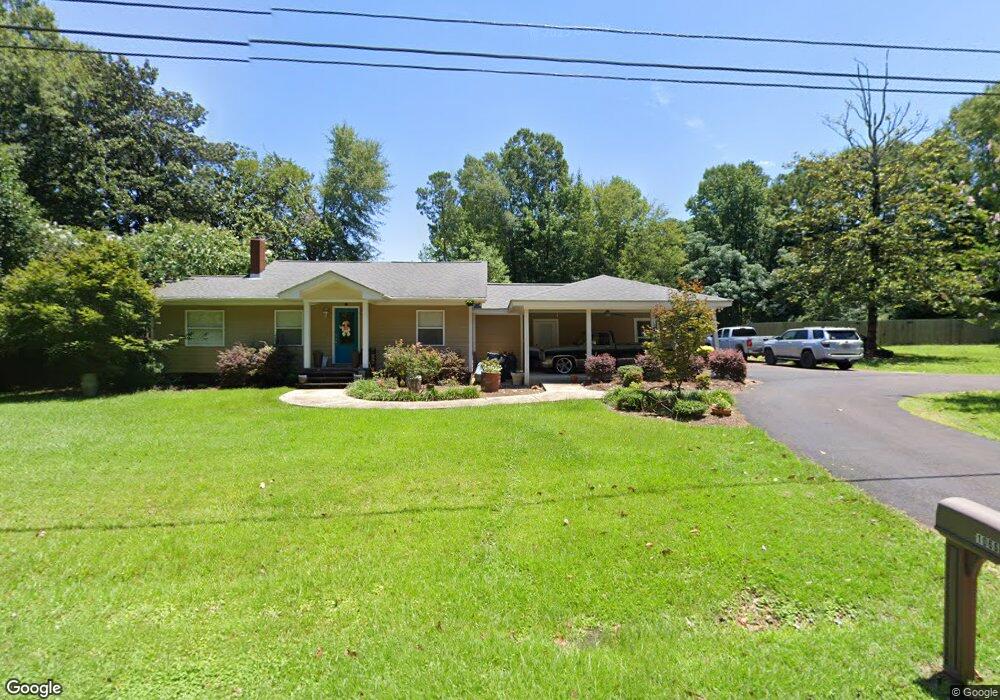
1066 Hardie St Wesson, MS 39191
Estimated Value: $168,497 - $234,000
3
Beds
2
Baths
1,500
Sq Ft
$137/Sq Ft
Est. Value
About This Home
This home is located at 1066 Hardie St, Wesson, MS 39191 and is currently estimated at $205,624, approximately $137 per square foot. 1066 Hardie St is a home located in Copiah County.
Ownership History
Date
Name
Owned For
Owner Type
Purchase Details
Closed on
Aug 6, 2018
Sold by
Dowd Karl A and Dowd Jessica K
Bought by
Watts Joshua M and Watts Kristi K
Current Estimated Value
Home Financials for this Owner
Home Financials are based on the most recent Mortgage that was taken out on this home.
Original Mortgage
$143,920
Outstanding Balance
$83,443
Interest Rate
4.5%
Mortgage Type
New Conventional
Estimated Equity
$122,181
Purchase Details
Closed on
Mar 7, 2008
Sold by
Cowen Sonya W
Bought by
Dowd Karl Andrew and Dowd Jessica Kay
Home Financials for this Owner
Home Financials are based on the most recent Mortgage that was taken out on this home.
Original Mortgage
$53,000
Interest Rate
5.62%
Mortgage Type
Purchase Money Mortgage
Create a Home Valuation Report for This Property
The Home Valuation Report is an in-depth analysis detailing your home's value as well as a comparison with similar homes in the area
Home Values in the Area
Average Home Value in this Area
Purchase History
| Date | Buyer | Sale Price | Title Company |
|---|---|---|---|
| Watts Joshua M | -- | -- | |
| Dowd Karl Andrew | -- | -- | |
| Dowd Karl Andrew | -- | -- |
Source: Public Records
Mortgage History
| Date | Status | Borrower | Loan Amount |
|---|---|---|---|
| Open | Watts Joshua M | $143,920 | |
| Previous Owner | Dowd Karl Andrew | $53,000 |
Source: Public Records
Tax History Compared to Growth
Tax History
| Year | Tax Paid | Tax Assessment Tax Assessment Total Assessment is a certain percentage of the fair market value that is determined by local assessors to be the total taxable value of land and additions on the property. | Land | Improvement |
|---|---|---|---|---|
| 2025 | $1,074 | $14,890 | $0 | $0 |
| 2024 | $1,074 | $11,110 | $0 | $0 |
| 2023 | $1,089 | $11,110 | $0 | $0 |
| 2022 | $1,104 | $11,110 | $0 | $0 |
| 2021 | $1,065 | $11,110 | $0 | $0 |
| 2020 | $1,951 | $15,500 | $0 | $0 |
| 2019 | $1,318 | $15,526 | $0 | $0 |
| 2018 | $1,806 | $14,347 | $0 | $0 |
| 2017 | $1,687 | $14,347 | $0 | $0 |
| 2016 | $1,687 | $13,639 | $0 | $0 |
| 2015 | $1,259 | $10,285 | $0 | $0 |
| 2014 | $1,259 | $10,018 | $0 | $0 |
Source: Public Records
Map
Nearby Homes
- 1061 3rd St
- 1029 Loom St
- 0 Lee Beall Cir Unit 4126382
- 0 Wooden St
- 1119 Milltowne Dr
- 1025 West St
- 0 00 Milltowne Dr
- 0 Milltownte Dr
- 1005 Tarver Ln
- 1015 Tarver Ln
- 4001 Stegall Rd
- #1 Anderson Rd
- #4 Anderson Rd
- 1000 Old Sylvarena Rd
- 2548 Furrs Mill Dr NE
- 3066 New Sight Dr NE
- 2769 Beard Rd NE
- 4174 Anderson Rd
- 4069 Dixie Garden Rd
- 4069 Dixie Rd
- 1074 Hardie St
- 1143 Russell Cir
- 1050 Hardie St
- 1146 Russell Cr
- 1146 Russell Cir
- 1003 A D Whitt Dr
- 1098 Hardie St
- 1114 Loom St
- 1120a Hardie St
- 00 Hardie St
- 1014 A D Whitt Dr
- 1017 Hardie St
- 0 A D Whitt Dr Unit 120166
- 0 A D Whitt Dr Unit 122378
- 1006 South St
- 1063 Russell Cir
- 1027 A D Whitt Dr
- 1120 Hardie St
- 1012 South St
- 1003 Hardie St