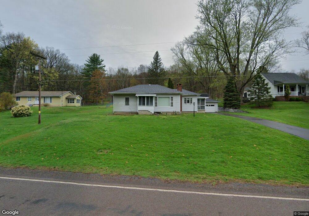
1066 Mount Zion Rd Harding, PA 18643
Estimated Value: $224,199 - $252,000
2
Beds
1
Bath
1,204
Sq Ft
$202/Sq Ft
Est. Value
About This Home
This home is located at 1066 Mount Zion Rd, Harding, PA 18643 and is currently estimated at $243,050, approximately $201 per square foot. 1066 Mount Zion Rd is a home located in Luzerne County with nearby schools including Wyoming Area Secondary Center and Wyoming Area Catholic School.
Ownership History
Date
Name
Owned For
Owner Type
Purchase Details
Closed on
Dec 17, 2018
Sold by
Scull Wayne M
Bought by
Kiwak Carl F
Current Estimated Value
Home Financials for this Owner
Home Financials are based on the most recent Mortgage that was taken out on this home.
Original Mortgage
$140,650
Outstanding Balance
$124,163
Interest Rate
4.9%
Mortgage Type
New Conventional
Estimated Equity
$118,887
Create a Home Valuation Report for This Property
The Home Valuation Report is an in-depth analysis detailing your home's value as well as a comparison with similar homes in the area
Home Values in the Area
Average Home Value in this Area
Purchase History
| Date | Buyer | Sale Price | Title Company |
|---|---|---|---|
| Kiwak Carl F | $145,000 | Templeton Abstract Services |
Source: Public Records
Mortgage History
| Date | Status | Borrower | Loan Amount |
|---|---|---|---|
| Open | Kiwak Carl F | $140,650 |
Source: Public Records
Tax History Compared to Growth
Tax History
| Year | Tax Paid | Tax Assessment Tax Assessment Total Assessment is a certain percentage of the fair market value that is determined by local assessors to be the total taxable value of land and additions on the property. | Land | Improvement |
|---|---|---|---|---|
| 2025 | $4,019 | $138,500 | $24,100 | $114,400 |
| 2024 | $3,841 | $138,500 | $24,100 | $114,400 |
| 2023 | $3,584 | $138,500 | $24,100 | $114,400 |
| 2022 | $3,559 | $138,500 | $24,100 | $114,400 |
| 2021 | $3,509 | $138,500 | $24,100 | $114,400 |
| 2020 | $3,426 | $138,500 | $24,100 | $114,400 |
| 2019 | $3,180 | $132,300 | $17,900 | $114,400 |
| 2018 | $3,072 | $132,300 | $17,900 | $114,400 |
| 2017 | $3,003 | $132,300 | $17,900 | $114,400 |
| 2016 | -- | $132,300 | $17,900 | $114,400 |
| 2015 | -- | $132,300 | $17,900 | $114,400 |
| 2014 | -- | $132,300 | $17,900 | $114,400 |
Source: Public Records
Map
Nearby Homes
- 1523 W 8th St
- 633 Campground Rd
- 41 Gashi Rd
- 750 Slocum Ave
- 5 Rowlands Ln
- 436 W 4th St
- 43 Hill St
- 242 Pauline St
- 522 Sutton Creek Rd
- 282 Birchwood Ct
- 675 Apple Tree Rd
- 215 Bennett St
- 1946 Wyoming Ave Unit 193
- 1946 Wyoming Ave Unit 197
- 162 Birchwood Village Estates
- 253 Birchwood Ct
- 1143 Old Exeter Ave
- 213 Cedar St
- 40-42 E 3rd St
- 132 Penn Ave
- 1072 Mount Zion Rd
- 1062 Mount Zion Rd
- 1074 Mount Zion Rd
- 1056 Mount Zion Rd
- 4 Mt Zion Rd
- 4 Menhennett Ln
- 12 Menhennett Ln
- 1052 Mount Zion Rd
- 1 Mt Zion Rd
- 305 Mount Zion Rd
- 1043 Mount Zion Rd
- 1040 Mount Zion Rd
- 905 Mount Zion Rd
- Box 442 Mt Zion Rd
- 422 Mount Zion Rd
- 1106 Mount Zion Rd
- 1024 Mount Zion Rd
- 1010 Mount Zion Rd
- 1126 Mount Zion Rd
- 67 Mount Zion Rd